Hey everyone! What a week we had on the Appalachian Trail. First, a little context on why this post is so late! Many of you have asked how I write these blog posts. I don’t use voice-to-text, so I am just using my phone to type the narrative into a notes app or directly into my blog post. It takes me about an hour or more to write the narrative for each day we are on the trail, but I also want to balance that with making sure I don’t spend too much time or energy on my phone each evening! I try to stay on top of the daily entries, but it’s easy to get behind if there is limited cell service or the hiking days are particularly long or tiring. This was a particularly busy (and excellent!) week on the trail and I had limited cell service in the evenings, so it took me longer than usual to catch up. I’m hoping to get back to my early-week posts in the future, but for now I hope this post is worth the wait. Thank you all for your interest in the blog, and for checking in! Here’s what’s been going on.
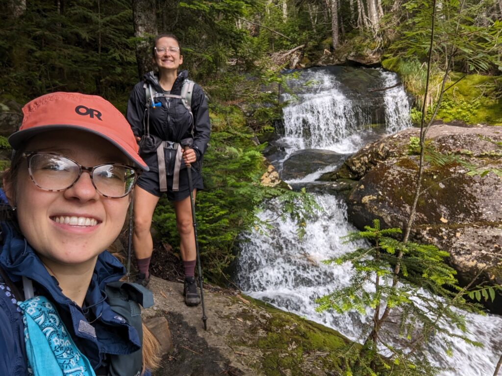
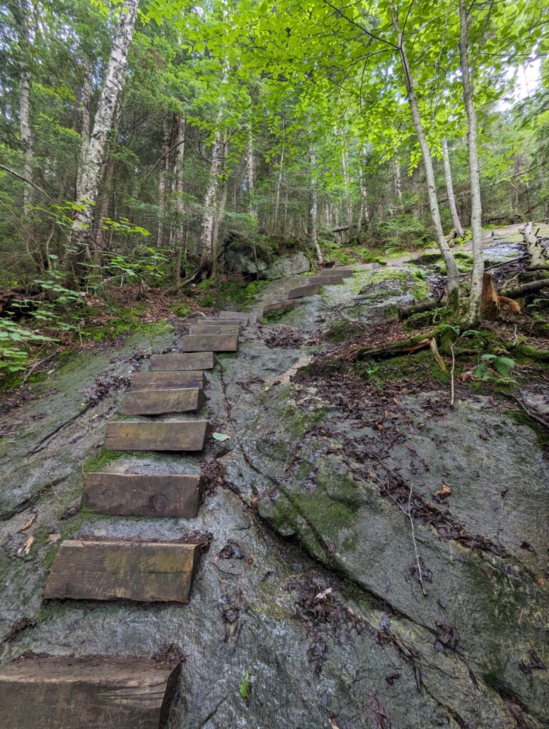
Day 134, Monday July 31: I woke up in the Beaver Brook Shelter around 6am, to a partly cloudy and cold sky. We packed up our gear and cooked breakfast next to Sparks and Selah who did the same. As we are our grits, a cheeky chipmunk ran around the small dort patch in front of the shelter, coming surprisingly close to us for the chance of picking up something tasty. He probably didn’t realize that we were only eating grits, so he would have been sorely disappointed if he were looking for something tasty. The first order of business for the day’s hike was to finish the descent down Mount Moosilauke. We began cautiously, as the trail was steep and the rocks were still damp from the night’s condensation. The descent covered only a mile and a half of distance, bit was so steep in places that we completed it at a crawling pace. In a few places the rock face was so large and steep that wooden steps were installed to provide tenuous and treacherous footing. The steps were mere wooden planks bolted to the rock faces, and in my opinion they were much too far apart for someone with short (or normal-sized) legs. Climbing up the trail would have been a little easier, but climbing down felt a little more treacherous: if we fell, we would fall away from the rocks instead of toward them and the descent would be much quicker but much more painful. We took our time, and admired the waterfall that tumbled down the cliffs beside the trail for several hundred feet. Eventually, we reached the bottom and laughed about how difficult and scary it was, relieved it was over.
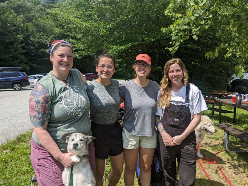
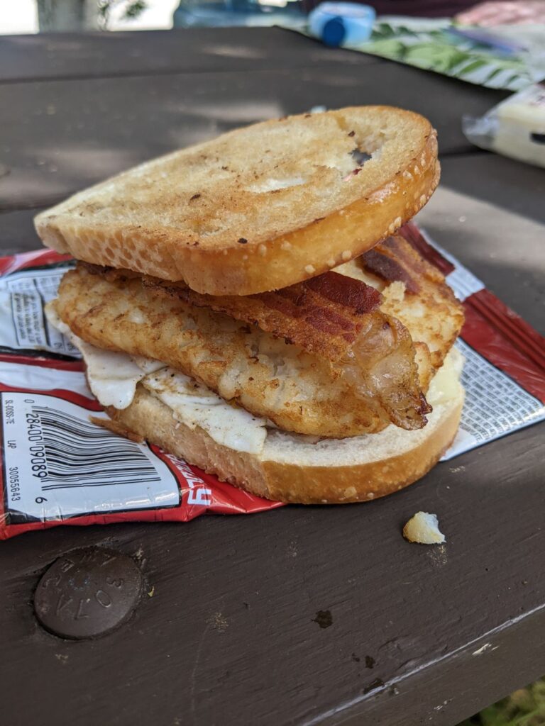
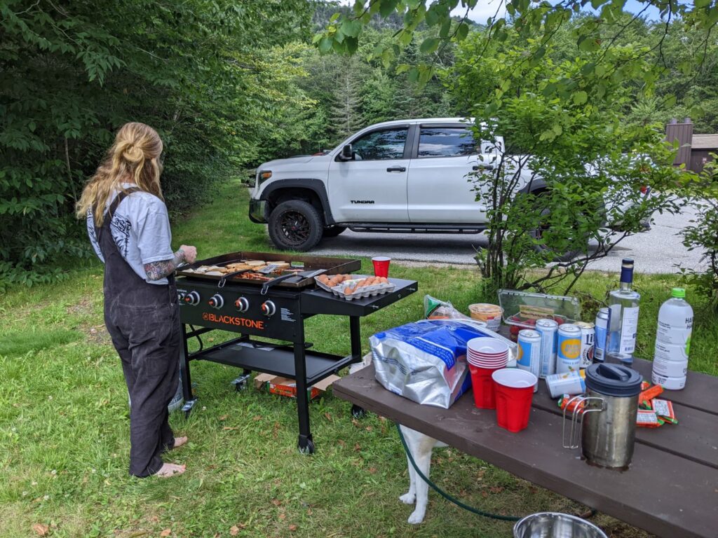
It had taken us almost three hours to climb down Mount Moosilauke, and we were more than ready for second breakfast. We decided to head to the nearby trailhead parking lot for a snack, and as we approached the side trail I noticed a handwritten sign nailed to the trail post. “Do you believe in MAGIC? Trail magic ahead!” We hurried out into the sunshine and across the parking lot, where a large popup tent was sitting next to a griddle-top grill and a huge picnic table laden with food. Bookie had Thru-Hiked the AT several years ago, and was still an avid supporter of the hiking community. She greeted us enthusiastically and asked us if we wanted a breakfast sandwich, which we did (obviously). Bookie’s friend and grillmaster Sarah was a young woman who had always fantasized about hiking the AT, and was excited to learn more about us. Bookie was in the process of acquiring a property down in North Carolina near the Trail, where she hoped to set up a hiker hostel. We chatted about her plans for the existing building she was going to convert, and provided some suggestions and feedback on what we had seen in some the of the hostels this year. Sarah made us a sandwich with grilled bread, fried aggs and bacon, a grilled hash brown, and some sharp cheddar cheese. Using an empty Doritos bag as a plate, I added some pure Vermont maple syrup, making the sandwich one of the best I’ve ever had. We had a few dill pickles, some more chips, carrots and hummus, and some maple cotton candy, and enjoyed talking to Bookie and Sarah in the sunny heat. We stayed to enjoy the comforts and company for far longer than we expected, taking almost two hours before we hefted our packs again. Bookie and Sarah gave us tight hugs before we left, wishing us well and good luck as we finished our journeys.
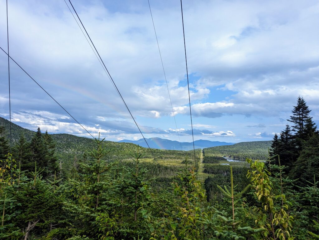
After hitting the trail once again, we realized that we still had planned to hike another fifteen miles that afternoon. Within fifteen minutes of leaving the trail magic tent, the sky clouded over and a light drizzle started. It wasn’t enough to soak us through which was appreciated, but the rain continued intermittently throughout the afternoon. We hiked late into the afternoon, admiring the line forest as the rain eventually faded into soft sunshine once again. We hiked through a huge electric transmission line Right-of-Way, and were treated to a distant rainbow across the valley. We reentered the forest across the ROW and hiked down into a wide stream valley to finally reach our shelter for the evening. We set up our sleeping kits in the shelter and cooked dinner, stuffing our food bags into the bear box around 8pm. Although the afternoon hike was long, we were able to complete our full mileage by a reasonable time before falling asleep.
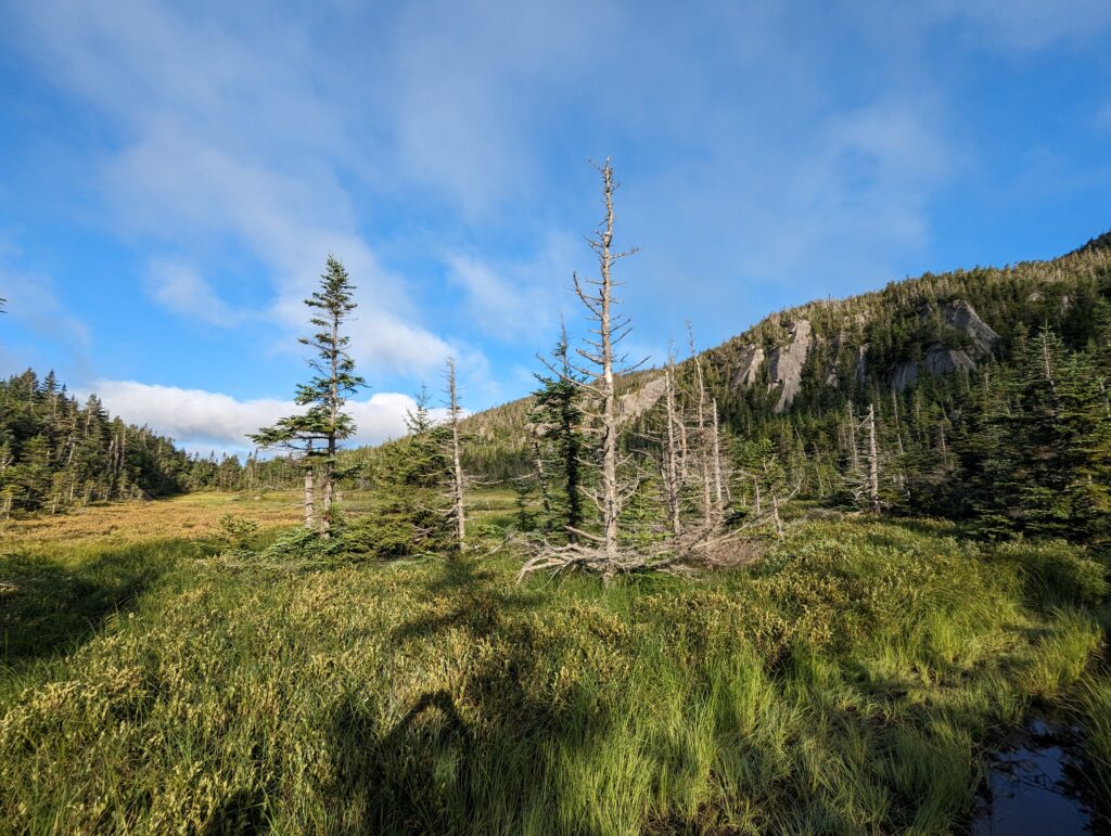
Day 135, Tuesday August 1: We woke up to my 5:30am alarm to a cold morning: the fleece jackets went on immediately. We packed up our sleeping kits and ate breakfast quietly so avoid disturbing the other shelter dweller and the nearby tents. We began the day by making the 2,000-foot climb up to the South Kinsman Peak. We hiked next to several beautiful waterfalls, and passed by a large pond with some craggy cliffs as the backdrop. The ascent was extremely rocky, and in many places I needed to throw my trekking poles up a few ledges so I had full use of hands to assist with climbing. The rock scrambling was actually enjoyable, even though it seemed to go on forever. As we climbed, we had partial views of the surrounding mountainous landscapes underneath a sea of fog high above the ridgetops.
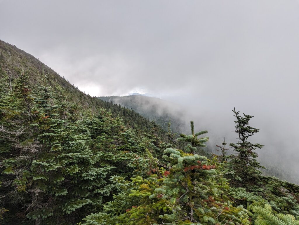
We had to take our jackets off partway up the mountain due to the exertion, but once we hit the fog the temperature dropped quickly and the jackets went right back on again. We stopped at the Kinsman Mountain South Peak to sit on the stone throne. Visibility was limited to essentially nothing, but seeing the scrubby pines through the mist was also beautiful. The North Peak of the Kinsman was another short trek away, and we hit it around 10:30am…just in time for the fog to clear. We were able to see under the layer of fog to the surrounding landscape, which was an expansive carpet of pine trees. The sun came out to shine on us as we marveled at the view, which warmed us up nicely in our wind jackets.
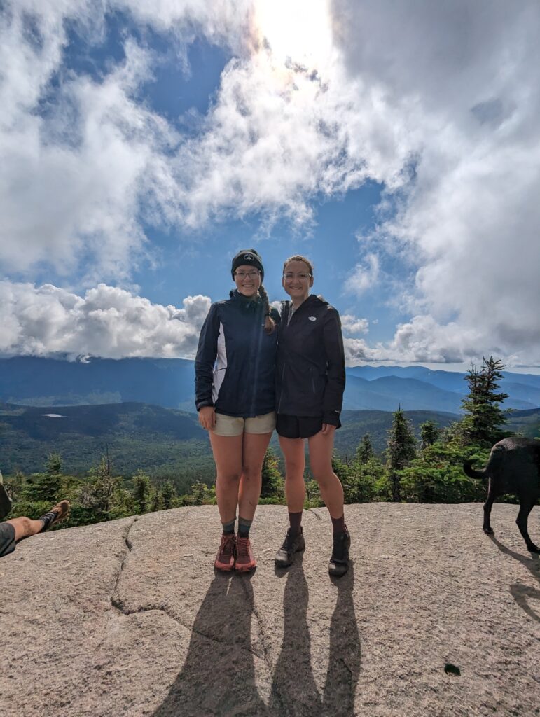
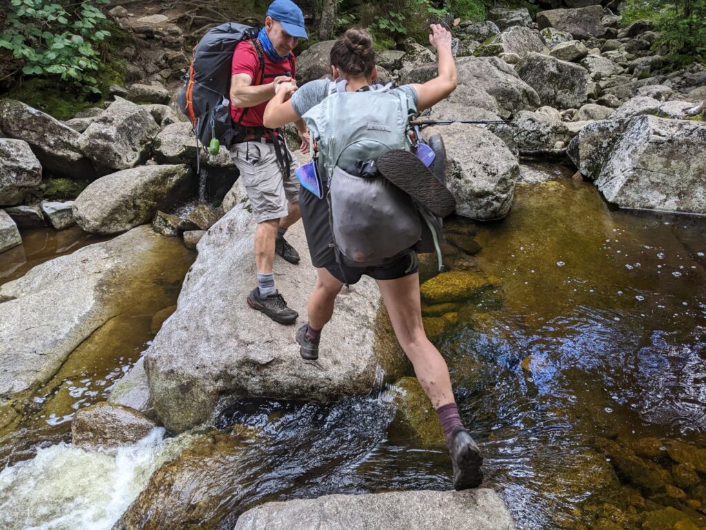
The descent down the other side of the Kinsman mountains wasa long one. It was just as rocky as the ascent, which slowed us down to less than one mile per hour on average. On the way, we did pass by the Lonesome Lake Hut, where hikers can stay overnight and be fed dinner and breakfast for a staggering $150. We stopped in just to take a look around and use the bathroom (sinks with running water and real soap–amazing!). After passing through, we hiked down to the bottom of the stream valley to a large stream crossing. The large, smooth boulders appeared tough to climb up to, and we stood on the bank assessing where the easiest place to cross might be. As we stood there, two men in matching red raincoats and blue hats hiked up behind us. We shared a smiley greeting, and then I said “You guys will probably be faster than us, so feel free to cross ahead of us.” They passed us and used their long legs to clamber over the boulders, leaping from rock to rock and making it look easy. Meadow and I followed after them about halfway across the stream before coming to a large gap between rocks that would have required us to jump across the gap. I stood looking at the gap, wondering if it was too large for us to jump, and whether the rock on the other side was flat enough to land on without skidding off. I decided that going airborne over a deep stream with uneven footing on the landing side was too risky, and was just about to turn around to find another route when I realized that the two men who had gone across first were still on the other side of the stream. They were watching to make sure we got across safely, and when they realized we were about to go around one of them came back towards us. He came back out into the middle of the stream, stopping in the rock opposite me and held out his hand. “If you jump across this, I won’t let you fall.” I took another few seconds to ease myself to the very edge and take a few breaths, then took his hand and jumped. He pulled up on my a to steady me upon landing, and after collecting myself I made my way to the other side of the stream. I collected our trekking poles and took them to the stream bank. Meadow took a few seconds to prepare herself as well before jumping, and our knight in shining armor caught her as well. They made their way over to the stream bank, and we took some time to get to know each other. Cruise Control and Fuel Rod were brothers, which explained the matching outfits, who appeared to be in their late fifties. Fuel Rod just retired this year as one of the lead operating engineers at a nuclear power plant down south, and Cruise Control said that he had been waiting to hike the AT until his brother could go along. They were both friendly and encouraging, and we talked about our experiences on the trail. They had started on March 18, just two days before us; we were all surprised that we had never run into each other before on the Trail. We thanked Cruise Control for his help across the stream, and Fuel Rod laughed, saying “What else are we out here for, other than to help each other!” We said goodbye and watched our new friends speed on ahead.
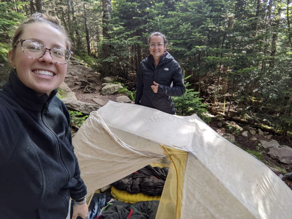
We hiked another few miles down a long stream valley, and more than a mile ascent up a long, rocky freeway. Halfway up the ascent we passed two women who asked us about the AT. “How old are you guys? You seem like tiny babies to be doing something so scary!” We assured her that we were staying safe and that the experience was worth it. After a long and sweaty climb up the last hill, we finally made it to the Liberty Springs Campsite. All of the tent platforms were taken, so we spent about a half hour looking for a nearby spot that was big enough to set up our tent. The only spot we could find was not very level, and it had several large rocks partially embedded in the ground. We set up the tent, laughing about how unfortunate the tent site was, and cooked our dinners while the pale sun set behind the line trees. My air mattress sleeping pad absorbed most of the rocks beneath my side of the tent, but Meadow’s thinner foam pad didn’t provide the same insulation. She slept between most of the rocks, but for some reason had vivid dreams of Mount Katahdin…
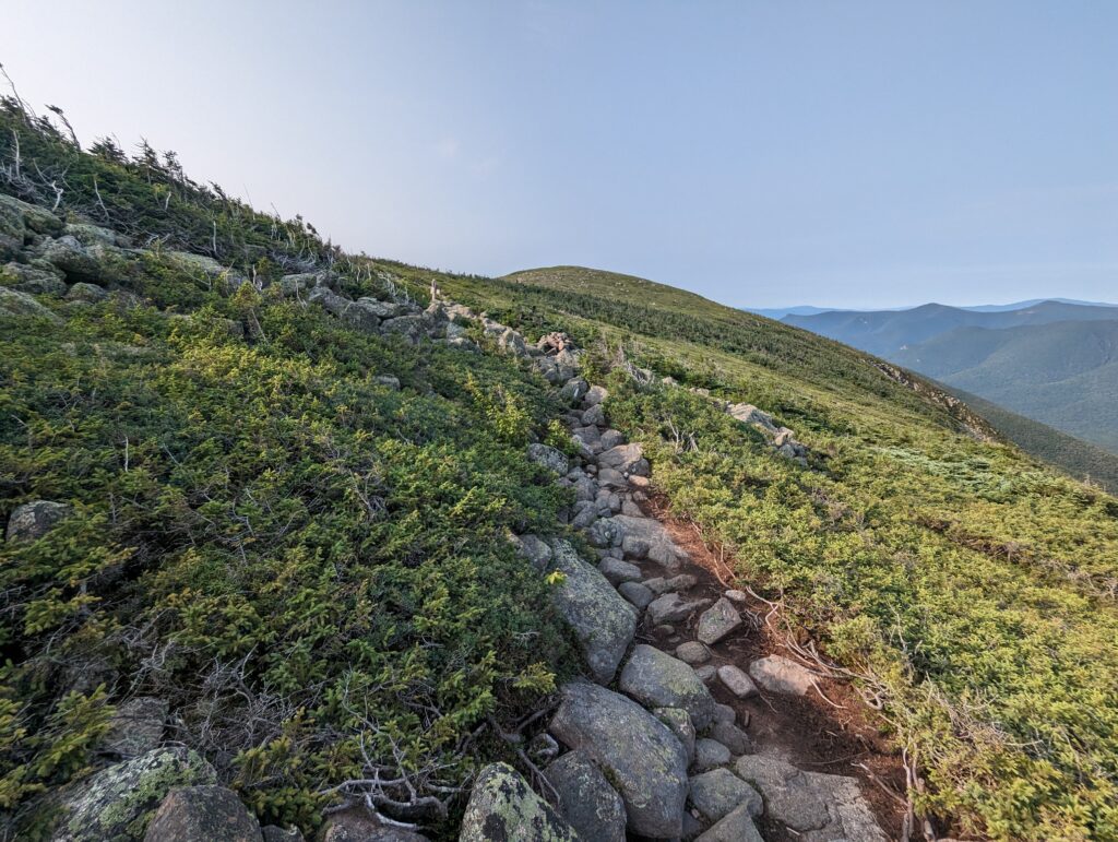
Day 136, Wednesday August 2: We woke up to a very cold morning, which made it even more difficult than usual to pry myself from my sleeping bag. I packed up my gear, putting both my fleece jacket and raincoat on for warmth, and made a trip to the privy. The other day hikers had left it trashed with pieces of apparently-clean toilet paper all over the ground. I used a piece of my own toilet paper to pick up all of the offending litter and throw it into the privy where it belonged, and attacked my hands with a dose of hand sanitizer even heftier than usual. I visited the bear box to collect our food bags on the way back to our pile of rocks where we slept. We had a “breakfast in tent” morning to prolong the inevitable plunge into the cold, and I even brushed my teeth in the tent vestibule. Once we could delay no longer, we burst from the tent and put it away quickly, rummaging around in the dirt to find a wayward tent stake. We left the Liberty Springs Tent Site just after 6:30am, and began the day by continuing our hike up to the Franconia Ridge. We had over two miles to climb before reaching the first small peak on the Ridge: Little Haystack Mountain. The morning air was crisp and clear, with only a few wispy clouds dotting the sky. During the rocky ascent, we caught up with Turtle and Pup as they took a short break beside the trail. We chatted about the busy campsite from the night before, and Turtle told us a little more about hiking with Pup. Pup is a sixteen-year old yellow lab mix, and she hiked the whole AT back in 2018 with Turtle once before. Turtle carries all of Pup’s food and supplies, and when Pup gets tired Turtle also carries her. We chatted with Turtle until we reached Little Haystack Mountain and he pushed on ahead of us. We marveled at the view of the Ridge, the low sunlight illuminating the eastern face but leaving the western in relative shadow. We could see Lincoln peak and the hike up to Lafayette, a mountaintop pathway lined with rocks. The biting wind warred with the sun regarding whether we should be cold or warm, but the wind prevailed.
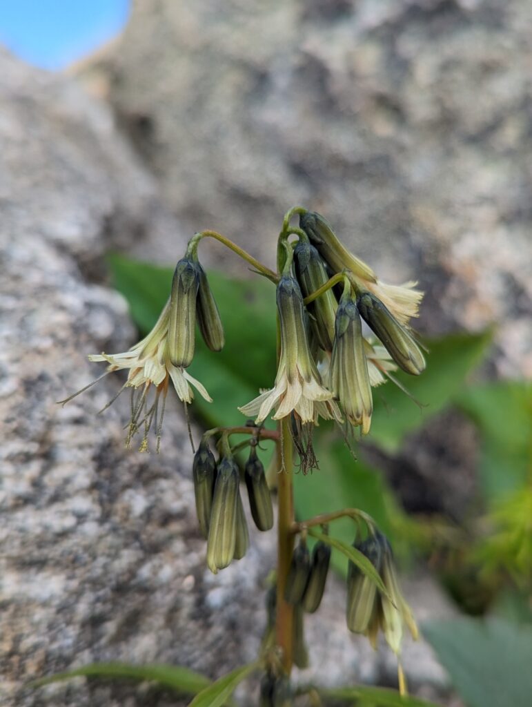
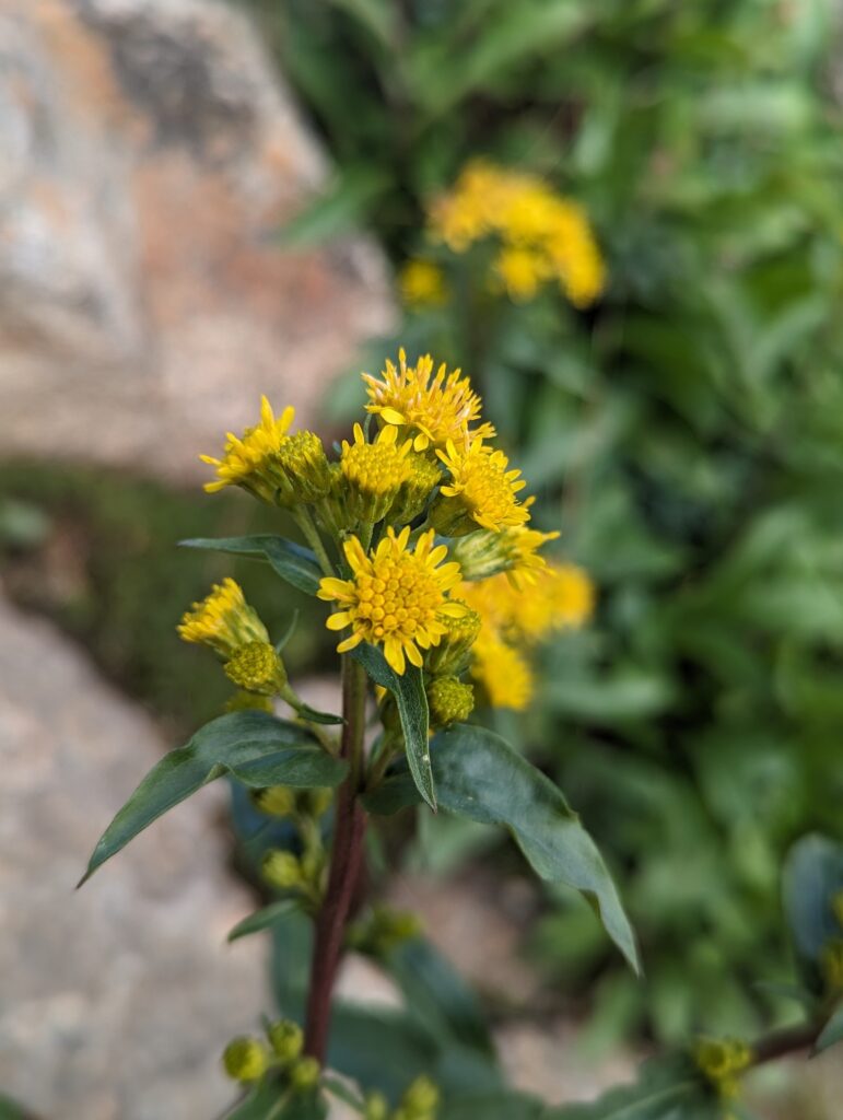
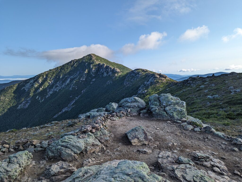
We hiked along the beautiful and narrow ridge, and I stopped to admire some of the alpine plants along the way. There were signs posted in a few places that gave a solemn warning against leaving the trail: “Please do not step here. These rare and delicate alpine plants have been severely trampled. Some have taken over 50 years to grow, and can be killed by a footstep. Please stay on trail.” We summited Mount Lincoln and then continued on toward Mount Lafayette, whose summit was enveloped in a shroud of clouds. As we approached the summit and entered the mist, we were plunged into the cold wetness of the white sea. I could see the soft billows of cloud rolling across the rocky landscape of the summit, closing us off from the rest of the world. The chill was even more significant in the most, so we couldn’t longer on Mount Lafayette for very long. We crested the mountain and headed down the other side, and I marveled at being able to stop at the exact transition between the high fog and the clear air below. We descended the north face of Mount Lafayette, enjoying the return of the sunshine to stave off the bitterness of the wind. We hiked down to a valley, the terrain rocky but not unmanageable.
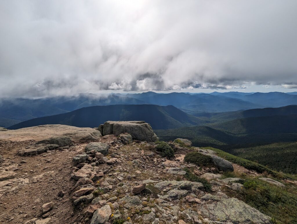
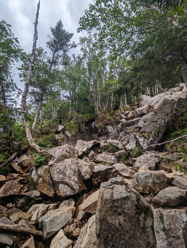
We then hiked up to another 4,000-foot peak, Mount Garfield. The view from Garfield was also stunning, and allowed us to see the Franconia Ridge from the north. We took a short break near the summit, and watched a few military jets fly over the mountains and dip low into the valleys. They cruised in groups of three on their rounds, blasting us with the loud engines as they flew by. On the way down Mount Garfield, the trail descended right down Garfield Waterfall for several hundred yards. The waterfall consisted of a relatively small stream of water rumbling down a huge pile of pale rust-colored, angular rocks. We climbed down the rock pile very carefully due to the wet rocks, relief washing over us when we finally hit the bottom safely.We hiked a few more miles in the afternoon through more beautiful pine forest. The terrain was still rocky and somewhat treacherous in places, so we took our time. The sun shone brightly between few clouds, but the temperature dropped as the day wore on.
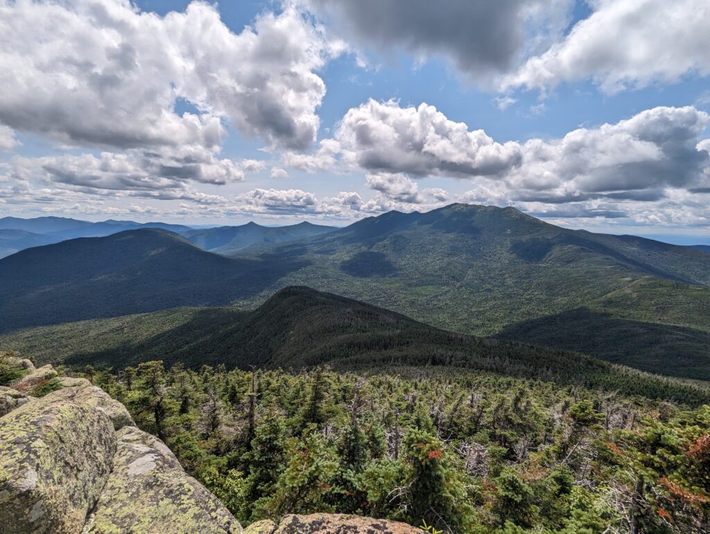
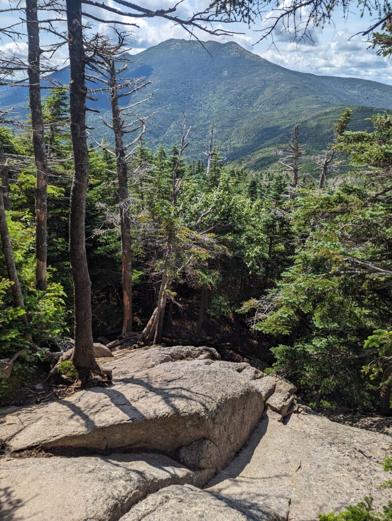
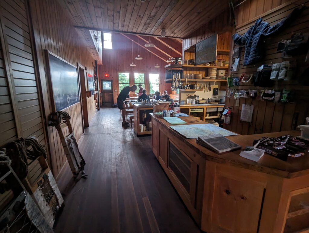
Late in the afternoon we arrived at the AMC Galehead Hut. There were a few days hikers scattered throughout the porch and the dining area, chatting and playing cards. We walked through the doors and headed back to the staff area, and were greeted by the Hutmaster. Becca, a young woman with her long red hair braided beneath a pink baseball hat, wore a bright pink work jumpsuit that we mater learned she dyed pink herself. We asked her if there were any hut work-for-stay spaces available. She checked her watch and said “Yep, just needed to make sure it’s after 4pm. Yes, we have some work for stay spots for you. If you want to hang out on the porch until we’re done serving dinner, we’ll come get you when we’re ready for you.” We thanked her and headed outside to wait. A bunk at one of the AMC huts in the White Mountains comes with dinner and breakfast, but costs somewhere in the $150 to $180 per night. Work for stay is an AMC service available to Thru-Hikers at the huts, where lodging and dinner is provided for free if the hiker performs a few basic chores in the evening. It’s a classic part of the Thru-Hiker experience that we didn’t want to miss out on, and we had timed it just right! If a hiker shows up before 4pm, they may be turned away, but if they arrive too late there may not be any work for stay spaces available. We hung out on the porch for a while, chatting with some of the other guests and hut visitors. One man named D.H. (short for Day Hiker) was hiking approximately half of the Appalachian Trail, basically just hitting the highlights and the sections that he wanted to hike. He asked us about the section we had just hiked over the precious two days, and whether he could hike it in 8 hours or less–we told him that although he may be a faster hiker than us, his plan was a little too aggressive for what most would plan for. He laughed and told us that’s what his wife had said, but now that he had a second and third opinion he was willing to listen. We chatted with D.H. about his hike and ours, and talked about how the experiences had changed our lives. After a while one of the Hut crew members–called the “croo”–came out to the porch to talk about how the huts are run. Twice a week the croo packs out all of the trash and waste generated at the hut, and packs in the needed supplies like food, merchandise to sell, consumables like toilet paper and soap. At the end of every season the waste compost from the toilet system, spent propane tanks, and other large items are flown out via helicopter. Electricity is provided via solar panels and a generator (when needed), and clean drinking water is drawn from a deep well. The croo member positions are highly competitive as they tend to return summer after summer, and one of the major perks is that they get to live in the White Mountains! Once the brief presentation was over, the hut guests went into the dining hall for dinner while Meadow and I remained outside. Another Thru-Hiker headed SOBO Southbound) stopped by the shelter, a very friendly guy named Zappy. When he heard each of our names, he dipped his head and said “Pleasure!” with a very old-fashioned courtesy that seemed to fit strangely well with his tattoos and nose ring. He had hiked the AT before a few years ago, and said he preferred to go SOBO because it was much less crowded. We talked about our experiences so far and asked him about Maine. He encouraged us that the best was yet to come, and excised himself to go inside the hut to buy a few huge Snickers bars to fuel his night hike. He was planning on hiking the Franconia Ridge through the night since he had ready seem it before, which sounded very cold and very scary to me. The temp was dropping rapidly by now, dipping into the forties even though the sun was still shining. Once we said goodbye to Zappy, dinner was over and we headed inside to wait at one of the now-abandoned dining room table. Eventually Becca came to find us, and said we could eat dinner first if we were interested (which we were!). We realized we hadn’t eaten “real” food since the prior Monday when we had our rest day, and we were ready for it. We filled our plates twice with mashed potatoes, pulled pork barbecue, pesto pasta, a kale salad (Veggies! YUM!), and bread with butter. There was also one tiny piece of peach-blueberry cobbler left, which Meadow and I also split. Once we were finished eating, we rinsed our plates and cutlery in the sink as directed and reported to the Hutmaster for our duties. Meadow was tasked with reorganizing the hut pantry, which she not only did but also labelled each section and gave the croo a debrief on what went where. I was tasked with sweeping the floor of the whole hut, which looked like it needed to be done a week ago. (On a side note, I don’t think the hut kitchen would pass an FDA inspection if an inspector would actually hike out to it…but at least the floor is clean now!). Our tasks took less than an hour, and to my surprise Becca said that was all she needed. She thanked us and said we could set up our sleeping kits in the dining hall floor, and we thanked her profusely. Sleeping bag o’clock came a little late around 9pm, as the last of the hut guests tricked out of the dining hall and into the bunkhouse. I probably fell asleep around 9:30, but I woke up just before 10pm to the sounds of someone coming through the front door of the hut. At first I was confused and a little annoyed at being woken up, but quickly realized that the people who had just entered the hut were badly shaken up. From what I could tell, a father and daughter team had reservations as the hut that night, but their day hike had taken them much longer than they thought it would–they were not prepared to hike in the dark or for the dropping temperatures, and the poor girl was in a state of full panic and anxiety attack. As they sat at the nearby table eating soup and drinking the Tang drink mix that Becca gave to them, the girl stifled sobs and worked to calm down. Her dad did his best to soothe her, promising her that she was safe now that they had made it, and that they would go straight home tomorrow. I was extremely relieved and thankful that they had made it to the hut relatively safely, but it was a stark reminder of how dangerous the White Mountains can be if you are not prepared. I thought of Zappy, who was willingly running over the Franconia Ridge possibly at that very moment, and hoped he knew what he was doing, too. Eventually the girl and her dad had eaten enough soup and drank enough water, and they too headed for the bunkhouse.
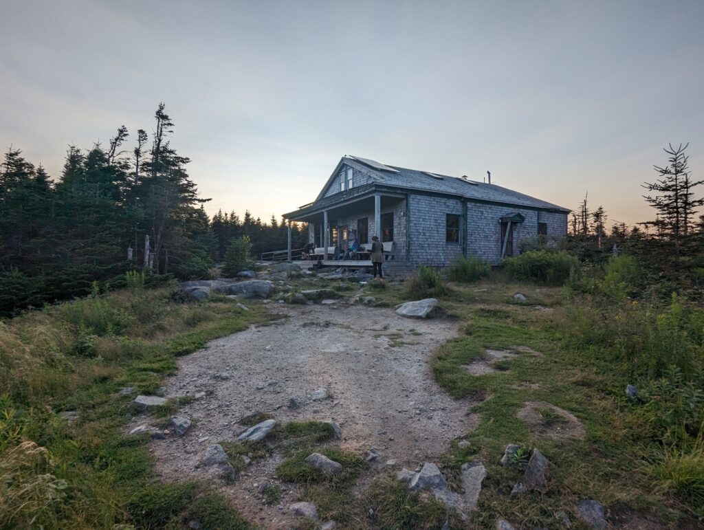
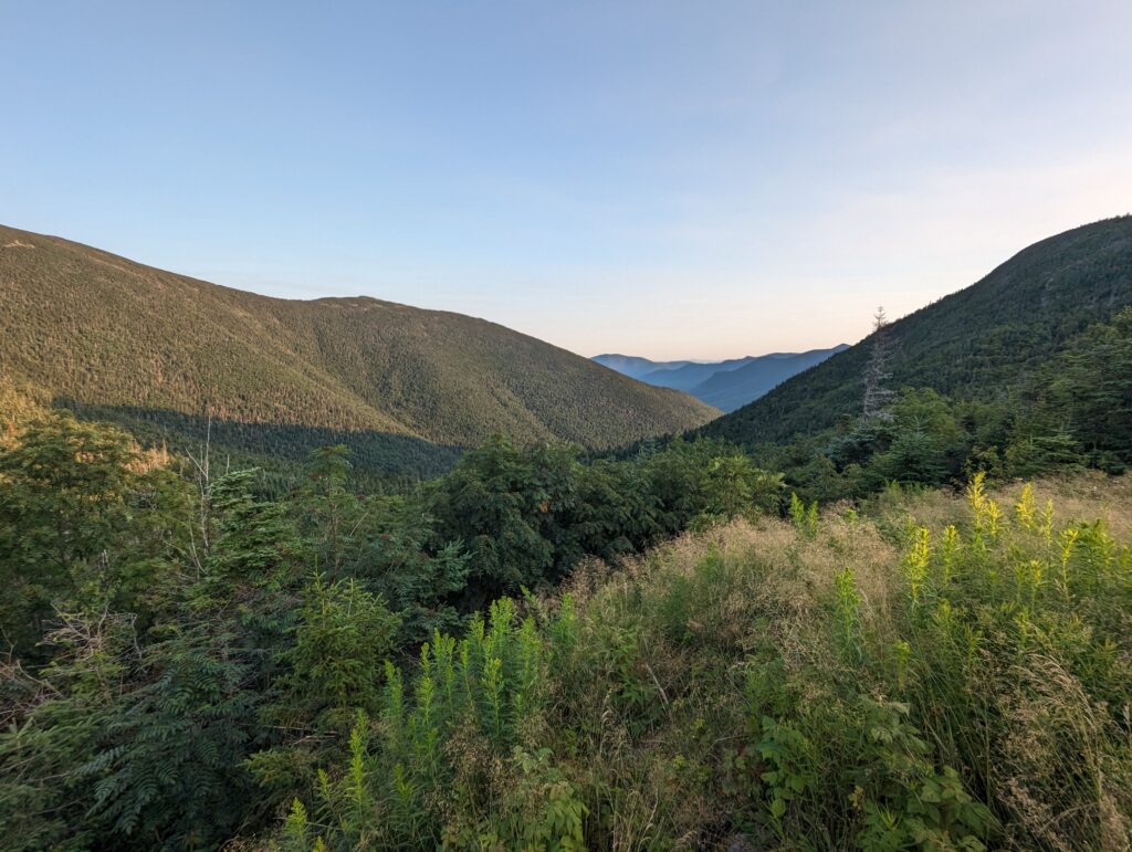
Day 137, Thursday August 3: I woke up to the 5:15 alarm as the only prevailing sound. The rest of the hut dwellers had yet to stir in the silent hut, but Meadow and I began packing up our stuff with the hopes of getting everything put away before anyone wanted to use the dining room. The moon was still high in the sky, and the sun had yet to make its appearance; South Twin Mountain to the east was still casting its shadow on Garfield Mountain to the west. We packed our bags, brushed our teeth, and ate a quick breakfast of bars before being the first to leave the hut just after 6am. As we passed by the patch of grass in front of the hut, D.H. paused his meditation to wish us luck on the rest of our journey. “Maybe I’ll see you in Maine!” he said with a smile. The air temperature was warmer than I had expected, and before too long I had to take off my raincoat. The sky was completely devoid of clouds and the wind was mild, which gave me hope that maybe it wouldn’t rain after all. We had less than one mile to hike up to the summit of South Twin Mountain, and we had been warned that the club was extremely steep with huge rocks to scramble over. We found the climb to be steep and rocky, but not very demanding in terms of requiring scrambling or actual climbing. We sped up the mountain and reached the exposed summit, standing in awe and turning to see the panoramic view of the white Mountains. While the terrain of the Franconia Ridge had been gorgeous, from South Twin Mountain we could see the Whites on all sides. We stood at the windy peak as long as we could before the cold wind chased us onward.
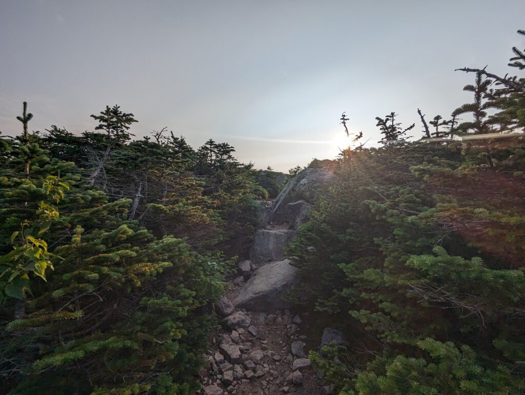
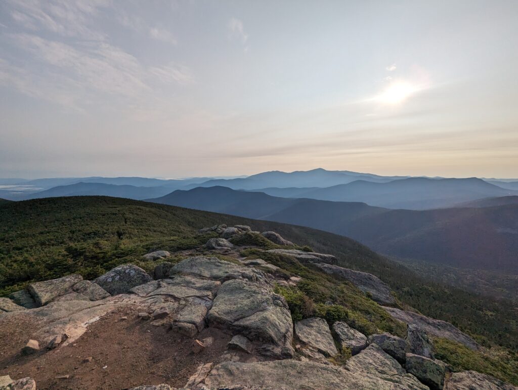
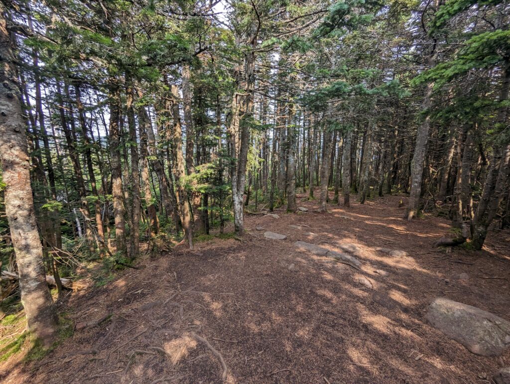
After leaving the South Twin summit, we descended back down below 4,000 feet above sea level. The forest moss was vibrantly green on both sides of the trail, and I relished in the dappled sunlight as it highlighted the white stone and gravel beneath my feet. After a while we stopped for Second Breakfast of champions, involving a king-size Snicker bar and a salty snack each. We hiked for another few hours along the gentlest terrain we had experienced in the Whites so far, making excellent time. We hiked past Mount Guyot, its rounded summit covered in small piles of rocks like boils. Eventually we climbed a slight hill to reach the summit of Mount Zealand, which boasted a miniscule bald patch big enough for a single tent buried in the pine forest. A man was packing up his tent when we arrived, and be said “Well, this is it! You made it to Mount Zealand…so what’ll it be, a bloody Mary or the eggs Benedict?” I joked that both sounded great, and he informed me that unfortunately he was fresh out of both. He asked if we were Thru-Hikers, and when we said yes he enthusiastically wished us well before we left.
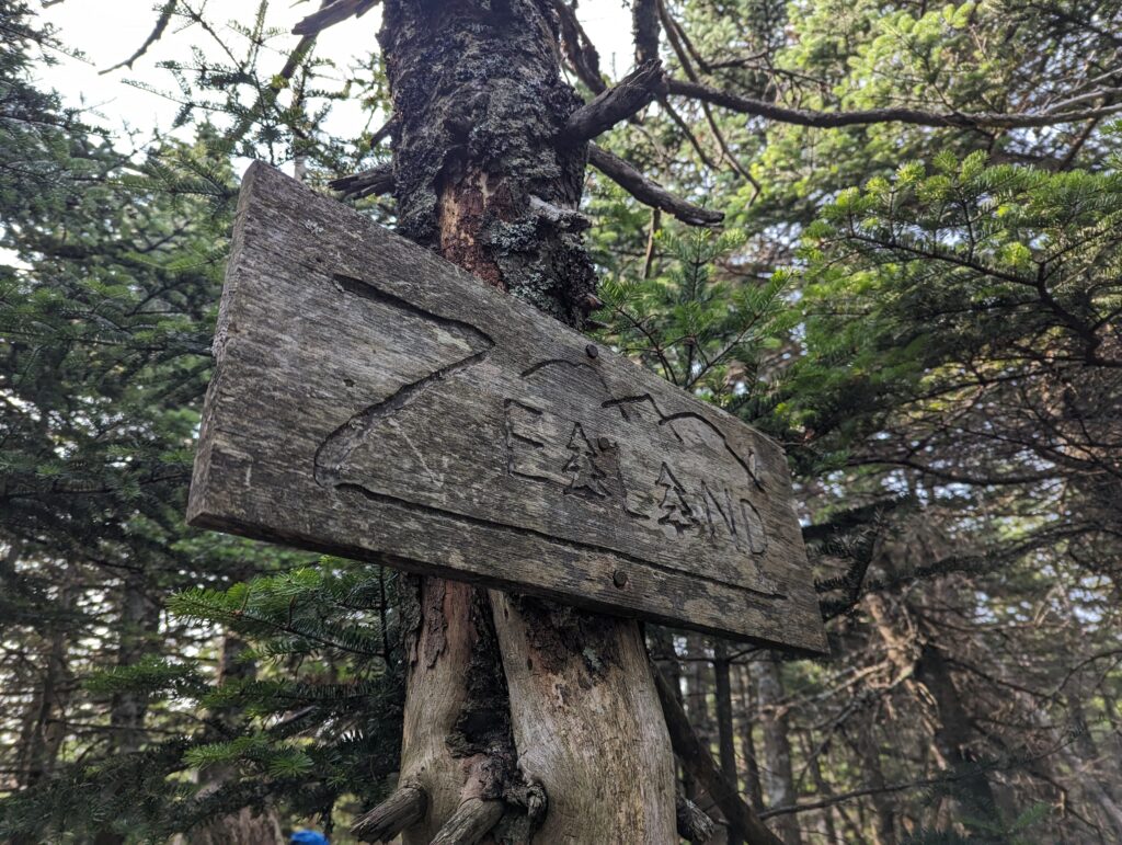
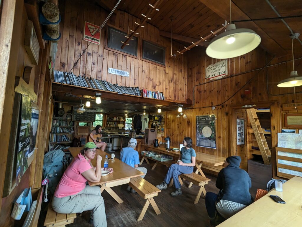
We hiked a few miles further down the valley, eventually reaching an upstream section of Zealand Falls. The red rocks looked almost artificial, and reminded me of an amusement park ride backdrop. For a few seconds we contemplated taking a dunk in one of the waterfall pools, but a quick test of how cold the water was proved that idea to be a bad one. Instead we hiked down a few hundred feet to reach the Zealand Falls Hut! We walked in to see what was going on inside, and decided to purchase one brownie and one cup of lemonade. The brownie was undoubtedly the worst brownie on the planet even by Thru-Hiker standards (Meadow agreed it was a BAD brownie), but I still finished it. While we sat in the Hut, we chatted with a hiker named GiGi who had completed the AT last year. She asked us about our favorite parts and hardest moments, and told us she was hiking the Whites again this year in preparation for her Thru-Hike of the Continental Divide Trail next year. GiGi was in her fifties, and she said she did the AT last year because she wanted to do it before she was too old. “Besides, my dad always taught me to push myself and do hard things because otherwise you will never know what you’re capable of.” When Meadow and I prepared to leave, GiGi told us that we were headed into the easiest section of hiking in the Whites. “It’s mostly flat and clear of rocks, except for a few boulders here or there. Once you hit the big section of bog boards, you’re almost to the pond!” We thanked her for the info and wished her good luck on her CDT hike before heading back out onto the cool patio.
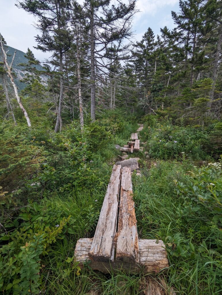
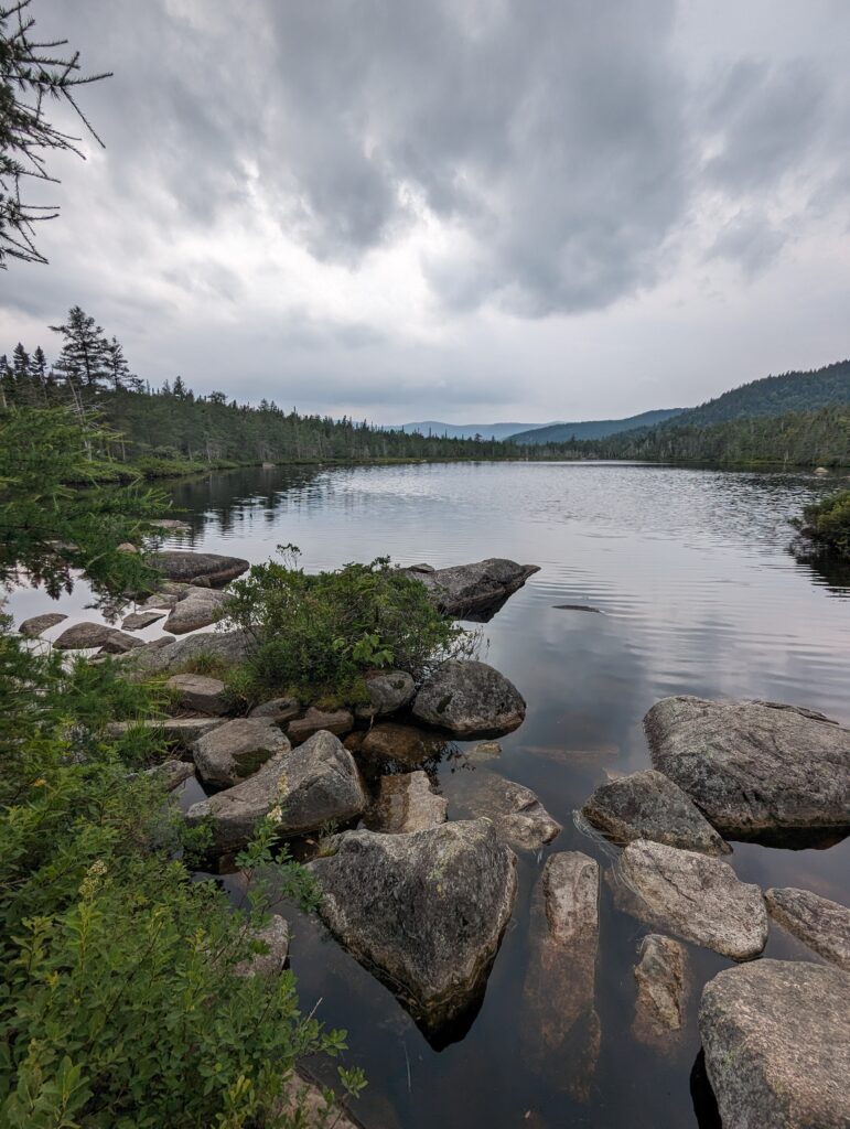
The sky was becoming more overcast, and now seemed to be a solid sheet of white. We hiked down a rocky and steep descent, and soon found that GiGi hasn’t been lying. The trail became flat and almost totally devoid of rocks and boulders, which meant that Meadow and I were able to pick up our pace significantly. We passed an open, rocky vista where we stopped for another snack break, and continued through more pine forest. We passed over at least a mile of “bog boards,” which I understand from context clues are the small boardwalk platforms built along many parts of the AT. Some of the boards were rotted away and/or were sinking into the mire, and we still got our feet wet while crossing. Eventually we reached the Ethan Pond Shelter, which is aptly if not creatively named for being right next to Ethan Pond. We arrived just after 2pm, following a twelve mile hiking day. We made great time, and we beat the rain! The pond was very dark with tannins and algae, and we were told that there are tons of leeches in it so we were not even tempted to go for a swim. We set up our sleeping gear in the shelter since it was supposed to rain overnight, and we didn’t want to pack up a wet tent the next morning. We spoke to the Appalachian Mountain Club (AMC) Caretaker of the camp site, paying the $10 per person camping fee and receiving our Thru-Hiker pass for discounts on future AMC campsite stays. We filtered some water from the inlet stream to the pond, also dark with tannins, and lounged in the shelter before cooking dinner around 5:30pm. Several AT friends joined us, including Shaggy, Smoke, OG Baggins, and Fuel Rod and Cruise Control. We spent the evening chatting with them about plans for hiking the Presidential Range through the Whites, including whether hiking through the next day would be wise given the rain and thunderstorms that were projected. We went to bed early to the sound of a light drizzle on the tin roof of the shelter.
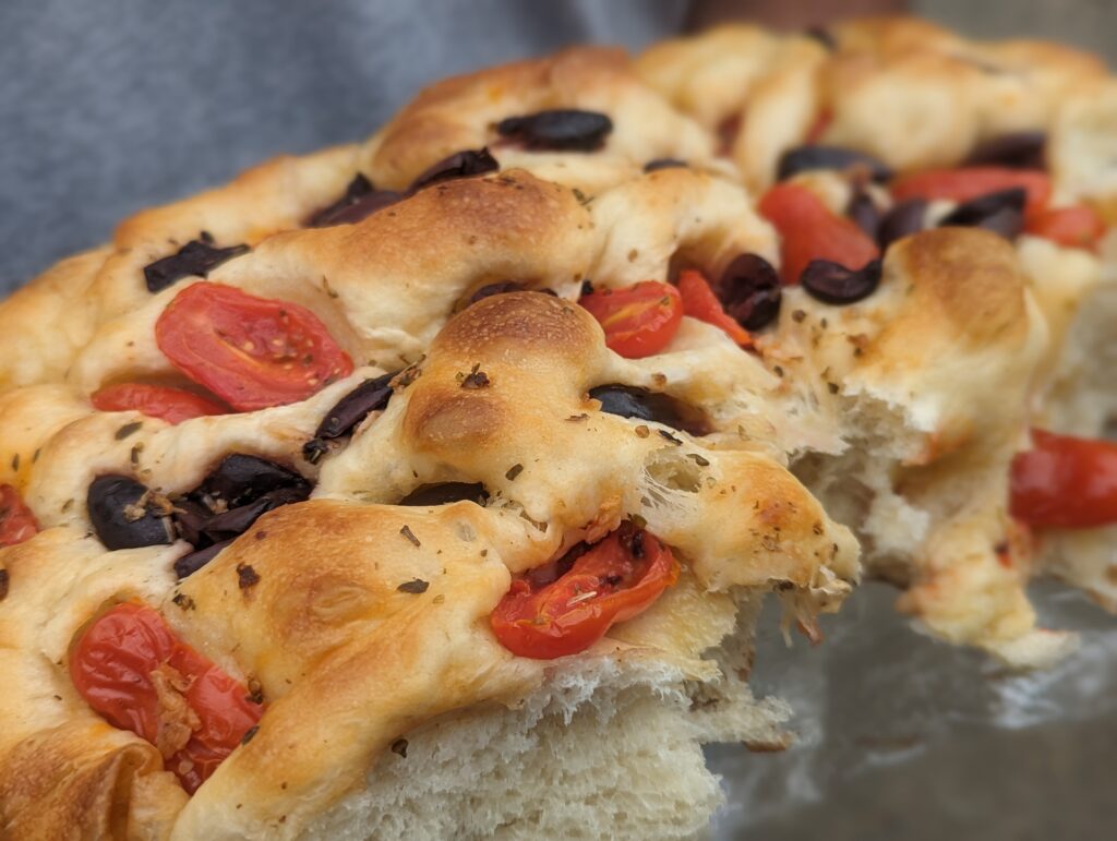
Day 138, Friday August 4: We woke up around 5:30am to the sound of our sheltermates packing up their gear. We followed suit, and headed out into the drizzly humidity. We had a three-mile hike down to the last road crossing before the Presidential mountains, where we waited for our extraction crew to pick us up. Our friends Will, Shelly, Linda, and Nick pulled into the parking lot just after noon, showering us with baked goods (including a tomato and olive focaccia he had baked himself), an amazing plate of chocolate (thank you, Dave!), and coffee. While we stood there chatting, Cruise Control and Fuel Rod came through with their hiking friend Big Mike. We offered them some pastries and wished them well on their hike through the Presidential traverse. When we left the parking lot we went to our Airbnb and did the usual chores: laundry, airing out our sleeping bags and sorting through our food. Nick and Will were planning on backpacking the Presidential Traverse with us over the next several days, so we sorted through gear and packed our bags. We picked up a few more baked goods (cupcakes and a giant whoopie pie!) at a local bakery, ate a delicious dinner at the Muddy Moose, and turned in.
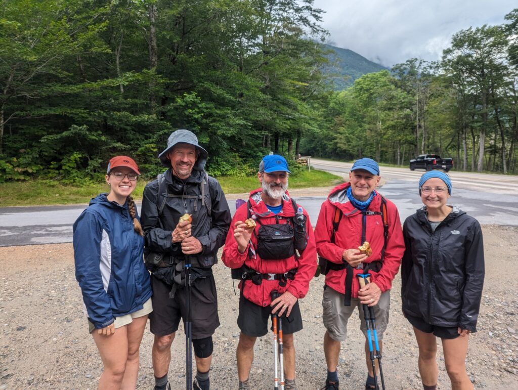
Day 139, Saturday August 5: We all woke up in the Airbnb and grabbed our packs. Shelly and Linda drove me, Meadow, Nick, and Will back to the road crossing where we had gotten picked up the day before. Our plan was to hike the 24-mile section of the Presidential Traverse over the next four days, and we were all excited to get going! The weather was pretty good for hiking, although the humidity was pretty high. As soon as we began to hike, the mosquitoes began to eat us alive and we sprayed ourselves down with DEET. We first ascended Mount Webster, a climb of over 2,600 feet. The trail was steep and rocky, and there were several places where there was more climbing involved than just hiking. The views from Mount Webster were spectacular. A few wisps of clouds hung on to the peaks across the valley, casting shadows on the sea of trees below. The wind has picked up slightly as we gained elevation, but the sun was still warm enough to keep us out of our windbreakers.
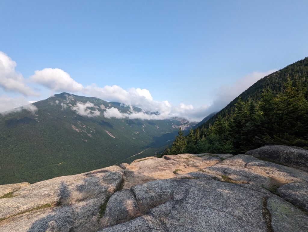
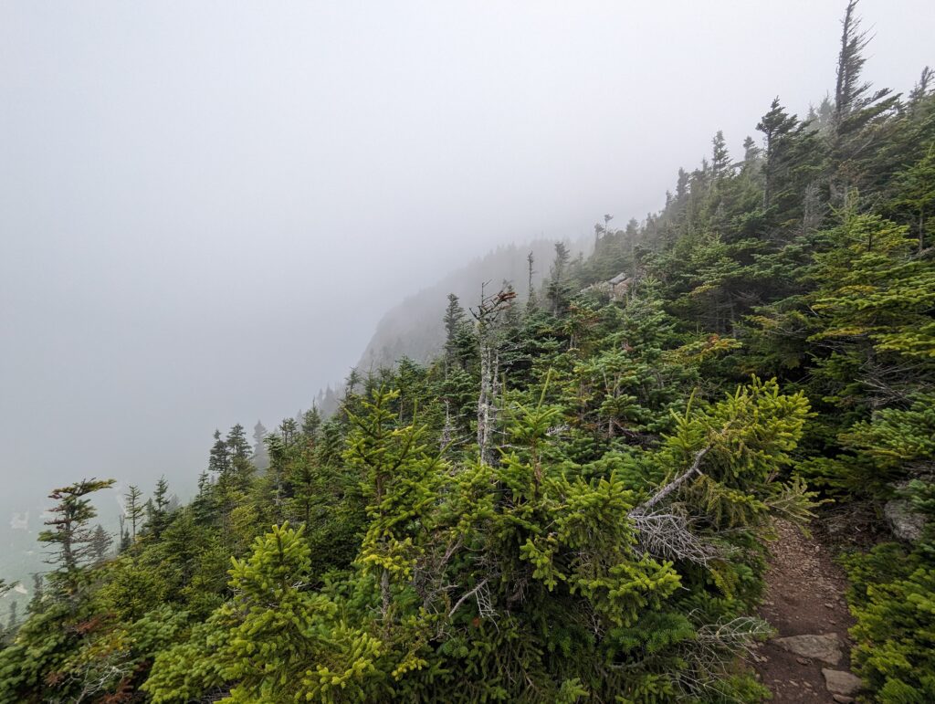
Once we had summited Mount Webster, we turned our attention to Mount Jackson. This peak was only a climb of about 700 feet higher than Webster, but once again there were a few rocky ascents that made it difficult–and fun! The foggy clouds hung low over Mount Jackson, chilling the air and wind to the point where we needed our jackets.
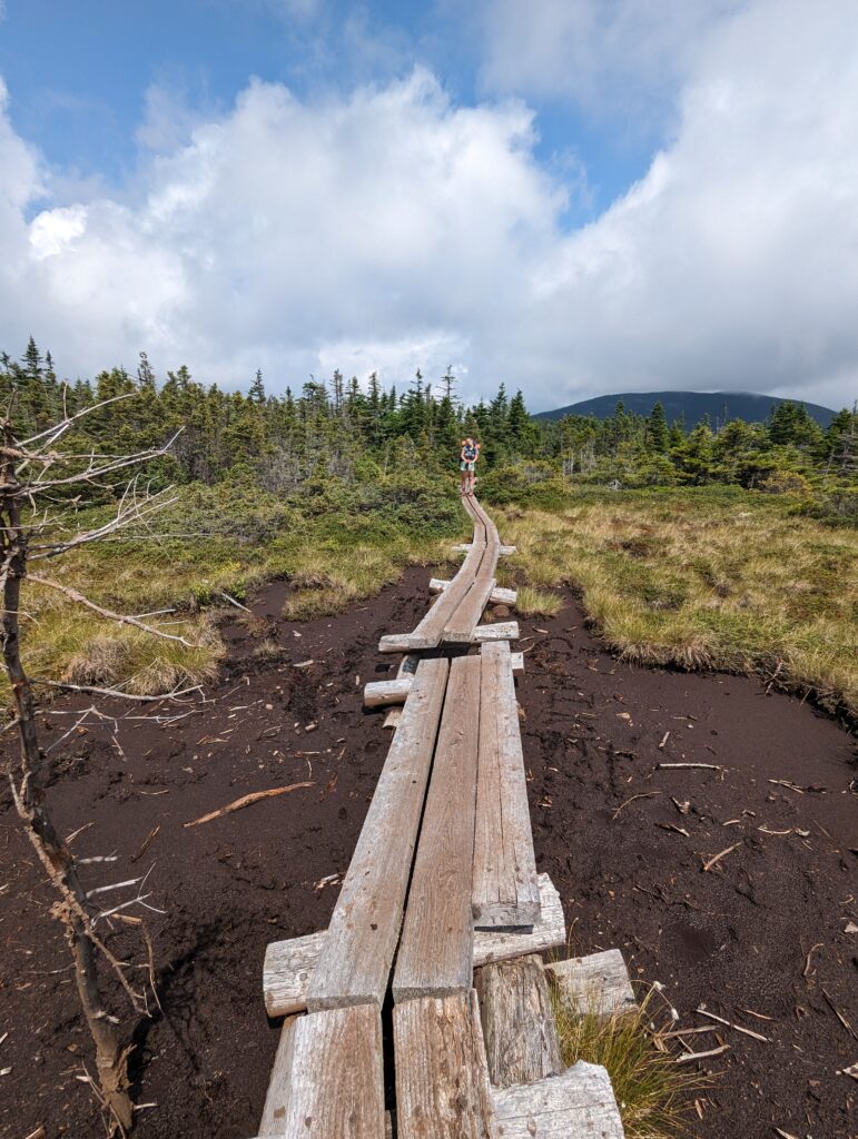
We crested Mount Jackson and descended partway down the other side, arriving at an alpine bog. There were bog boards through its center along the trail, but our of curiosity I liked my trekking pole into the mud beside the path. My trekking pole sank in almost two feet, which would have been up over our knees of we had to wade through the mud! Three cheers for bog boards. The sun shone brightly as we descended the northern side of the mountain and passed through the open bog, and beautiful pine forest.
A short time of walking along relatively flat terrain, we arrived at our final destination for the day around 1pm: Mizpah Spring Hit and the Nauman tent site. We selected a tent platform and piles our packs and gear on top of it.The day’s hike had been easier than we expected, so arriving at the tent site in the early afternoon was an unexpected treat. We decided to extend the following day’s hike, which means t that we would finish a day sooner than we had originally planned. But for this afternoon, it was time to relax! We decided to try “cowboy camping” for the first time, which involves sleeping under the stars with no tent; this, of course, meant that we didn’t even have to set up the tents! Meadow and I used our Thru-Hiker pass at the hut to get our free baked goods, which in this case were four pieces of coffee cake. We each ate a piece of cake and then took the other two to Will and Nick. We spent the afternoon lounging on the tent platform and eating cake, which Meadow and I assured our guests was NOT normal for the AT hiking experience! While we cooked dinner, our old friend Blue who we had met in the Smokies came into the campsite, so we caught up with him and met the other members of his Tramily: Shooter, Sunshine, and Hollywood. We were planning on getting up very early to start hiking the next day, so Sleeping Bag O’clock came early around 7pm. In the middle of the night I put my glasses on to see the night sky, which were incredible die to the lack of light pollution. Even the Milky Way was visible amidst the sea of stars. Late into the night the moon rose brightly, blotting out the stars.
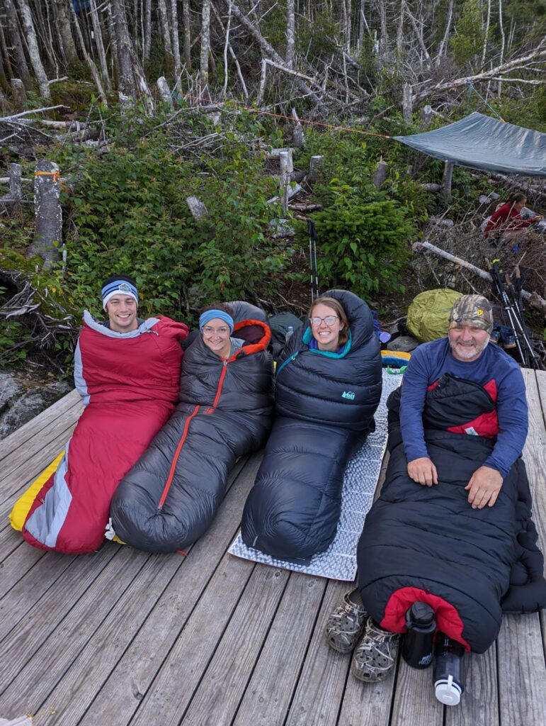
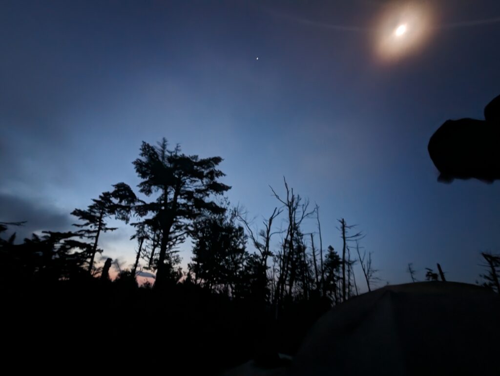
Day 140, Sunday August 6: The alarms rang out at 4:30am, and the four of us cowboys packed up our sleeping kits in the darkness. The condensation was pretty heavy overnight and our sleeping bags were wet as we packed them, but there was nothing to be done about that. We ate a quick breakfast of bars and let ourselves into the Mizpah Hut to fill our water bottles before heading up the trail just as the natural light became enough to might our paths.
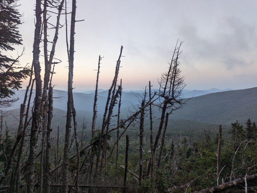
The first leg of the journey was a two-mile rocky climb up 2,000 feet to the next hut, Lakes of the Clouds. As we climbed higher into the mountains, the fog quickly took over and the wind became significant. Our raincoats went on to stave off the wind as we hiked. We passed several people coming down from Lakes of the Clouds hut, most of whom were bundled in heavy winter gear but all of whom looked miserable. As we laughed and climbed higher, we pointed out that none of the people we passed appeared to be having a good time! The wind was enough to push us off-balance at times and the fog limited our visibility. However, eventually we made it to the next hut and stopped inside for a brief snack break, bathrooms, and to top off our water bottles.
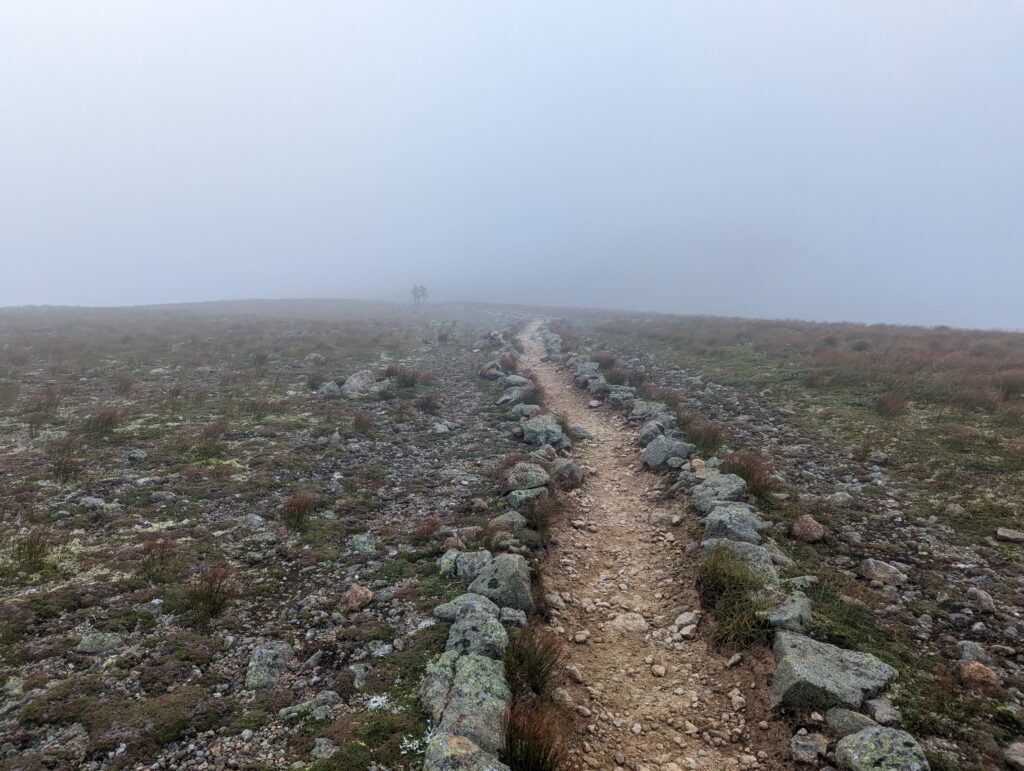
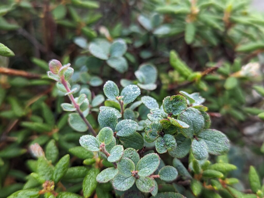
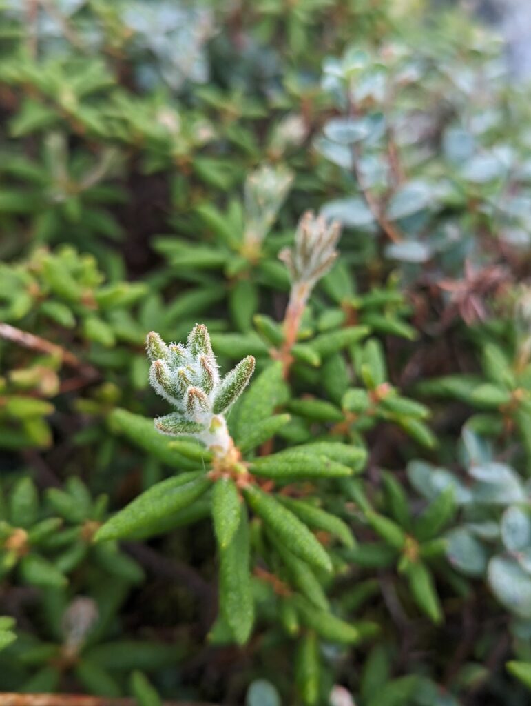
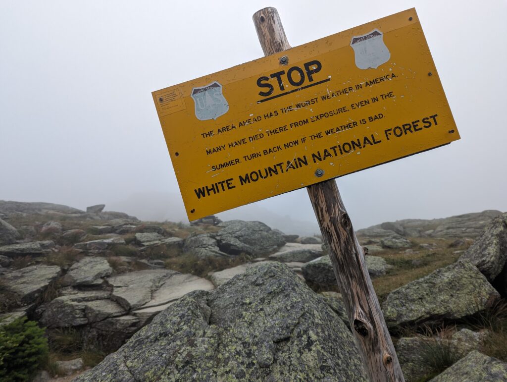
Once that was done, we stepped back into the wind to finish the ascent to Mount Washington, the highest point in New Hampshire and the home of the worst weather in the USA (no, it isn’t Pittsburgh!). We passed the small alpine lakes that give the hut it’s name, noting that one of them disappeared into the fog, making it look like an infinity pool.
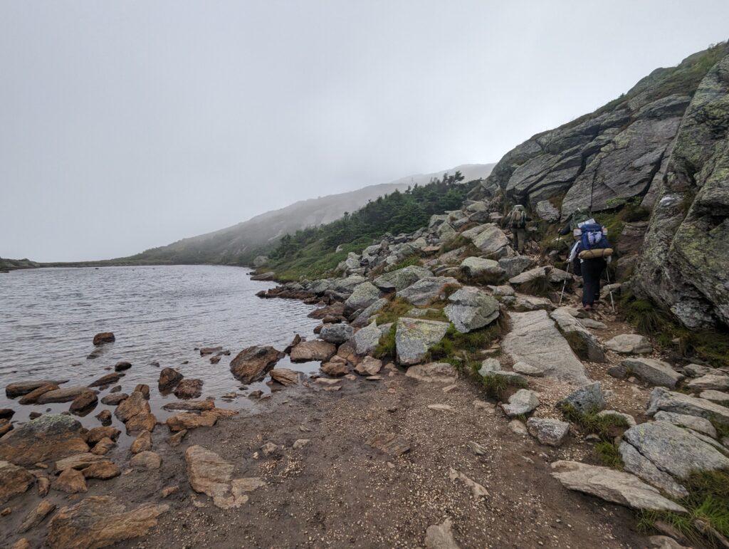
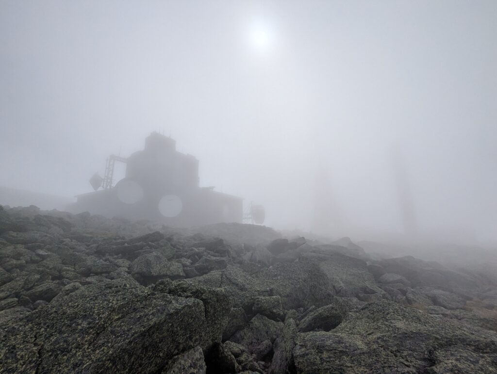
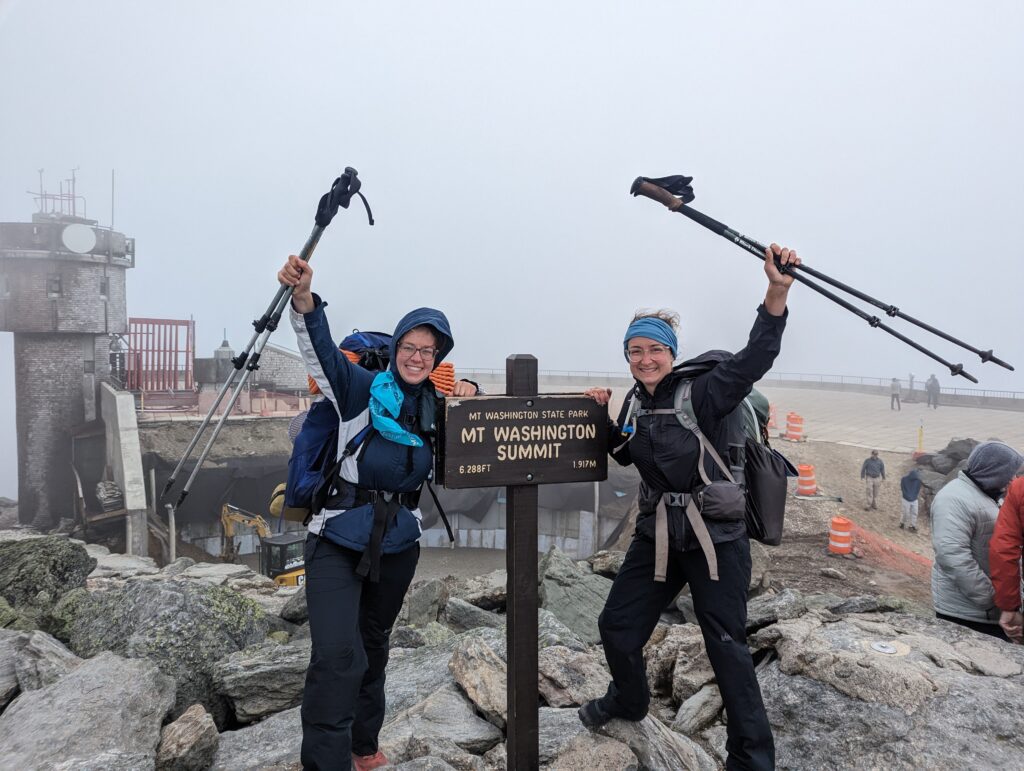
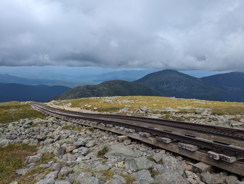
The climb up to Mount Washington went relative quickly. The path was rocky but no climbing was involved, so we arrived at Mount Washington around 10:30am. The wind at the top was definitely enough to blow us off balance, and the thick clouds rolled over the summit in billows. The weather observatory at the top gives tours, which is where Shelly and Linda were at the time after driving up the horrifying Auto Road. While we waited for them, we drank coffee and watched the immense crowds run wildly through the complex. It is a tradition for Thru-Hikers to moon the cof railway that brings tourists up and down the mountain. Legend has it that this tradition either references the previous summit name of Mount Moon, or the act is done to protest the cog railway’s massive carbon footprint and the pollution it generated for a few tourists. I didn’t see any Thru-Hikers upholding this tradition, possibly because it is illegal to do so. When Shelly and Linda came out of the observatory we chatted about the weather tour and our hike so far, enjoying the summit of Mount Washington.
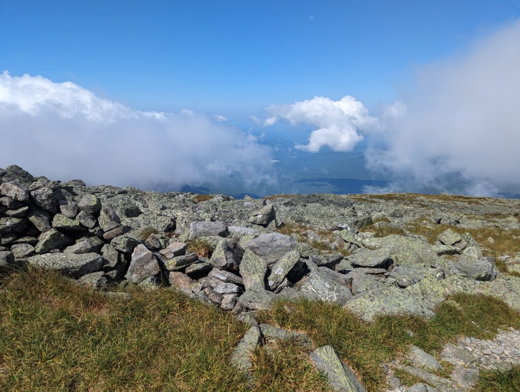
Around noon it was time for the four hikers to press on, since we were hoping to cover some serious miles in the afternoon. As soon as we left the summit, the clouds seemed to break apart and the entire White Mountains range north of Mount. Washington seemed to become visible all at once. We could see the rest of the peaks we hoped to summit that day, ending with Mount Madison. We hiked on for over four hours, the wind and sun again battling for whether we would be hot or cold. Once we descended below 5,000 feet in elevation it grew warm enough for us to take our rain pants off, which made hiking a little easier. The rocks were extremely difficult to climb over in places, and the wind was still strong enough to puah our trekking poles and feet around if we weren’t careful.
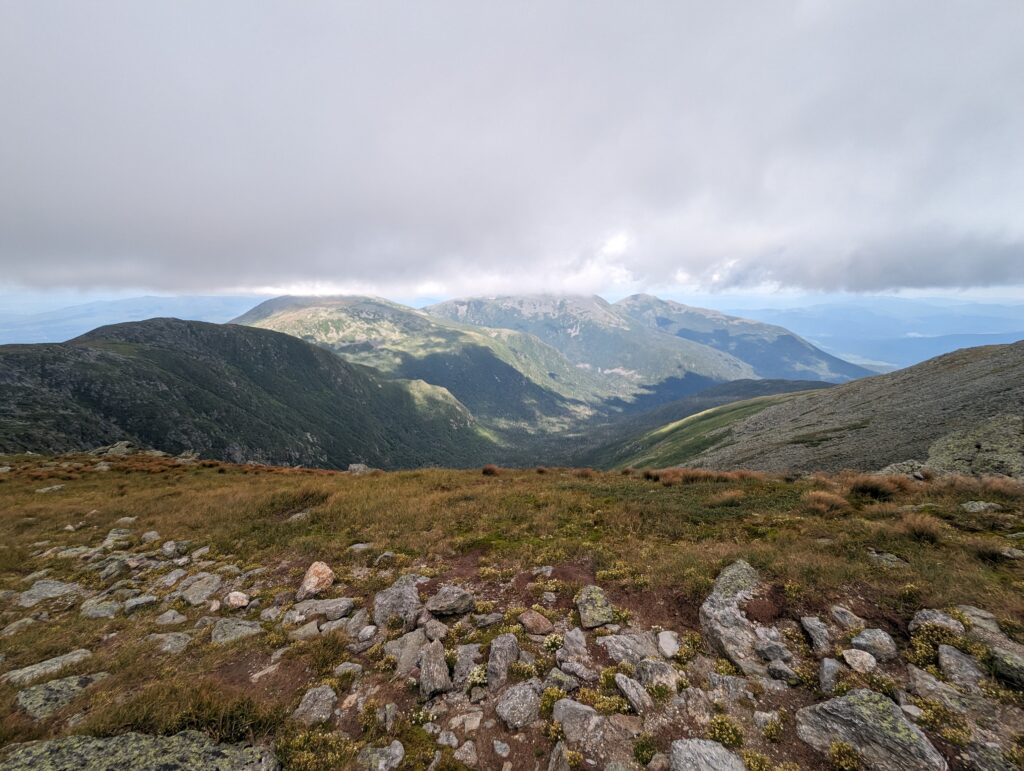
Around 4:30pm we reached the Madison Hut, where we stopped in for a brief break. They didn’t have any vacant bunk space, and there was no tenting available in the area. After a brief discussion of what to do, we decided to press on another two miles to get below the tree line and out of the alpine zone to camp. This includes climbing up Mount Madison and down the other side, which was easier said than done. The ascent was easier, because although it was grueling work it was a simpler task to climb up the large, angular rocks than to climb down them. The wind was as strong as ever, and if you weren’t prepared for the gusts they would easily push you off balance. The hike down the other side was downright scary due to the steepness, loose boulders, and the wind. Due to the rough conditions and treacherous terrain, it took us over three hours to hike the two miles up and over Madison–but we did it!
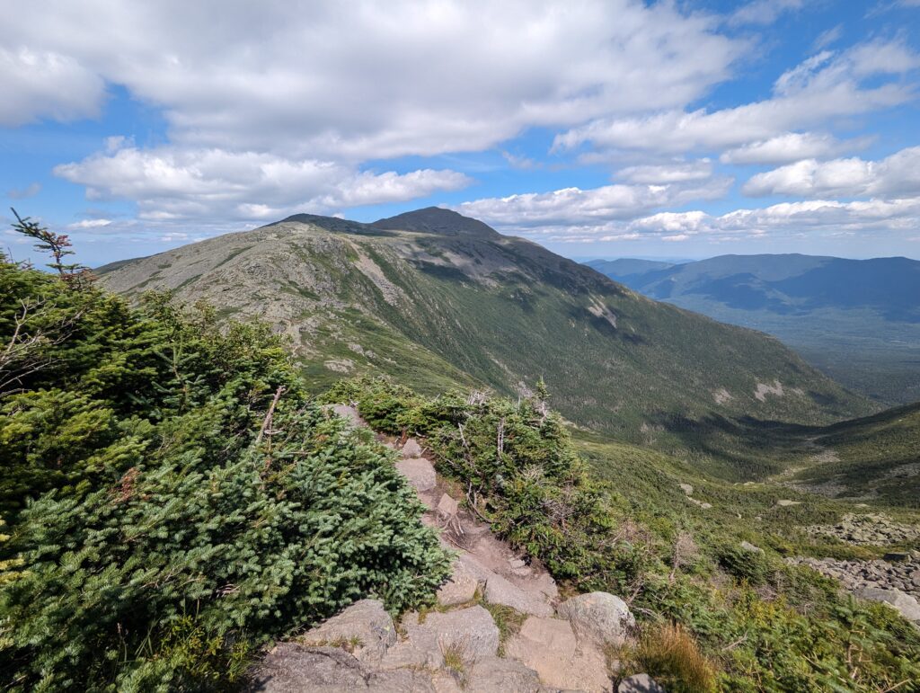
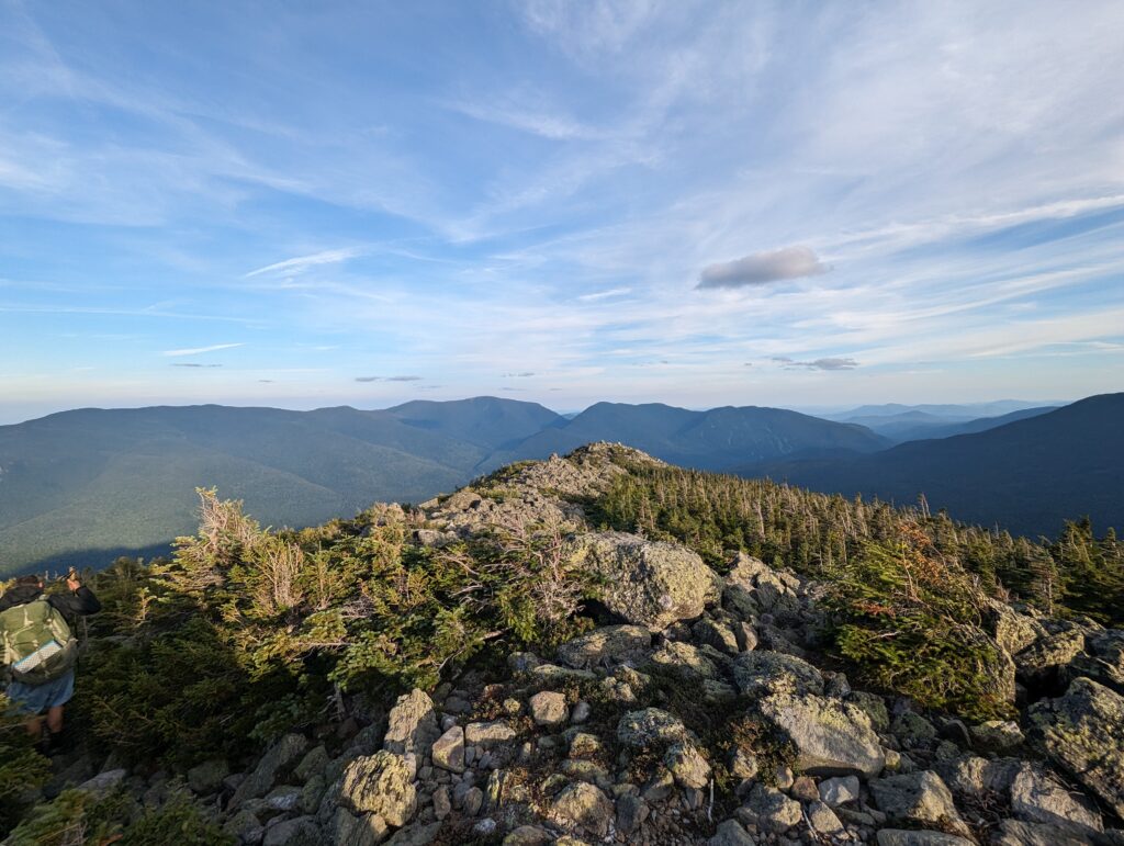
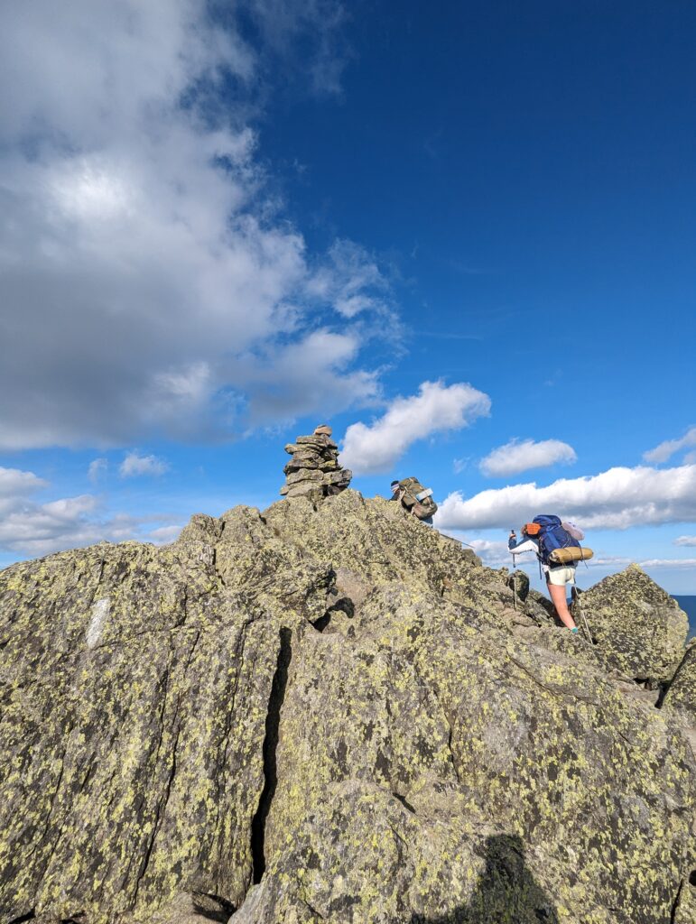
As soon as we entered the treeline the wind abated, and we found a few miniscule tent sites that the trees were insulating from the wind. Our friend Blue had ready hung his hammock in one of them, and Meadow and I set up our tent basically directly underneath his hammock die to the lack of space. We had done it! We had hiked over thirteen miles of some of the toughest terrain on the AT, and we had a blast while doing it. We cooked and ate dinner while chatting with Blue, and then, exhausted, went to sleep pretty much immediately.
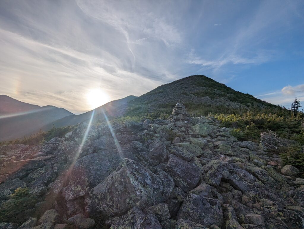
What’s on the menu for the next week? We’ll be finishing the Presidential Range and continuing through the White Mountains, and maybe even making it into our last state…stay tuned!
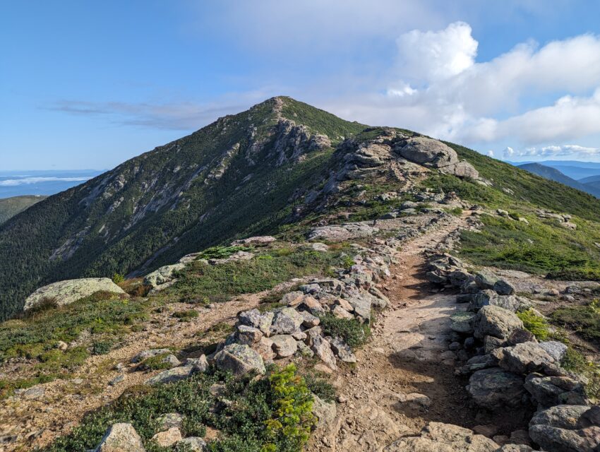
Great blog .. Amazing progress with your trek .. awesome pictures. Certainly worth the wait !! Love the comment by Fuel Rod .. “What else are we out here for, other than to help each other” … I think that is a good message for life in general !
Wow! You guys are AWESOME! (Note that I’m not of the generation that uses that word frequently). I knew you’d do it. I’ve heard so much about the Whites and some of it pretty frightening, but it’s so beautiful from your photos.
Great blog- makes you feel like you’re there. It’s so much easier reading the blog with a cup of coffee than it would be to do it! The photos are fantastic too.
You’ll love Maine. I hiked much of that with Craig as he was finishing the AT way back. Keep shoveling in the calories. You’ll burn a lot in Maine too!
We all love the blog but don’t let the obligation to write every evening eclipse the experience. I bet you’ll find you remember every day of this great hike in vivid detail for a long time. Even the food!
Beautiful scenery!, captivating and inspiring. So very nice that Cruise Control and Fuel Rod were waiting on the other side of the treacherous crossing, and there to assist when in need. I’m sure Nick and his friend loved climbing MT Washington with you, sharing in the adventures of the Whites. Driving up MT Washington, riding the cog up (which I’ve done) has its exhilarating moments in itself… and cheating!, compared to climbing it, I’m sure. Those rocks on those mts! I read where there are 48 mts in NH with an elevation over 4000 ft. I’m sure by now, if not by the end of this wk, you will have reached Maine. Treasure every moment… again, your smiles say it all. Mom said people were calling and asking, ‘where is Heather?’… I’m sure Wi-Fi is limited! I would ask if she’s heard from you 😉, and she’d confirm all is well. 💚 Savor, cherish, breathe
Godspeed ✌️😘
GOD BLESS, and keep you all safe. It i9s such a joy to read your blog about the journey . Please stay safe and continue on. I, know your Mom, is anxious to make that Maine trip.
I’m certain your father is looking down on you with prayers and pride. You both are awesome human beings. My prayers are with you every day.
I think I wore out my computer checking for your progress. Both of you are very strong both mentally and physically for this challenge. I hope your next challenge you keep us informed also. Be safe and know we say extra prayers for you both.