Hey everyone! We’ve had a rather boring and uneventful week on the trail…just kidding! This wild adventure is still going strong, and so are we. Here’s what’s been going on:
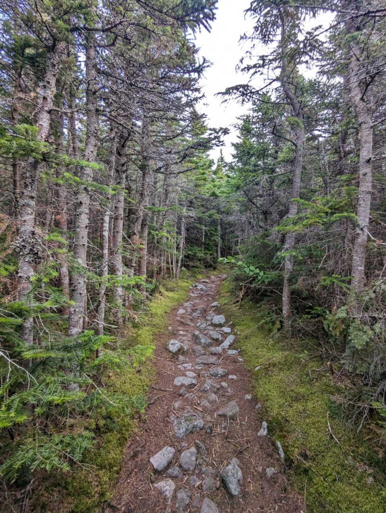
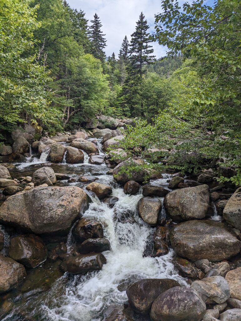
Day 141, Monday August 7: My alarm went off at 5:30am and I shut it off quickly to avoid waking Blue, who was still dangling just above us in his hammock. We packed up our belongings and had a quick breakfast of bars, still feeling tired from the previous day. The sky was overcast and threatening rain, but I hoped it would hold off for the morning. We departed camp and continued the descent down the north side of Mount Madison. There were still plenty of rocks on the trail, but at least we could see and step on actual dirt every now and then instead of just hop from rock to rock. We descended for just over a mile before reaching a campsite with some flowing water, where we stopped to filter some additional water and apply some moleskin to Tenderfoot’s feet. We hiked onward across a few large streams and up and down some hills before reaching our final destination for the day: the Pinkham Notch AMC Visitor’s Center! We reached the covered porch just as the rain hit, which seemed like incredible luck or divine providence. We picked up a few bowls of soup and browsed the gift shop before settling onto the porch to chat and wait for our ride back to the Airbnb.
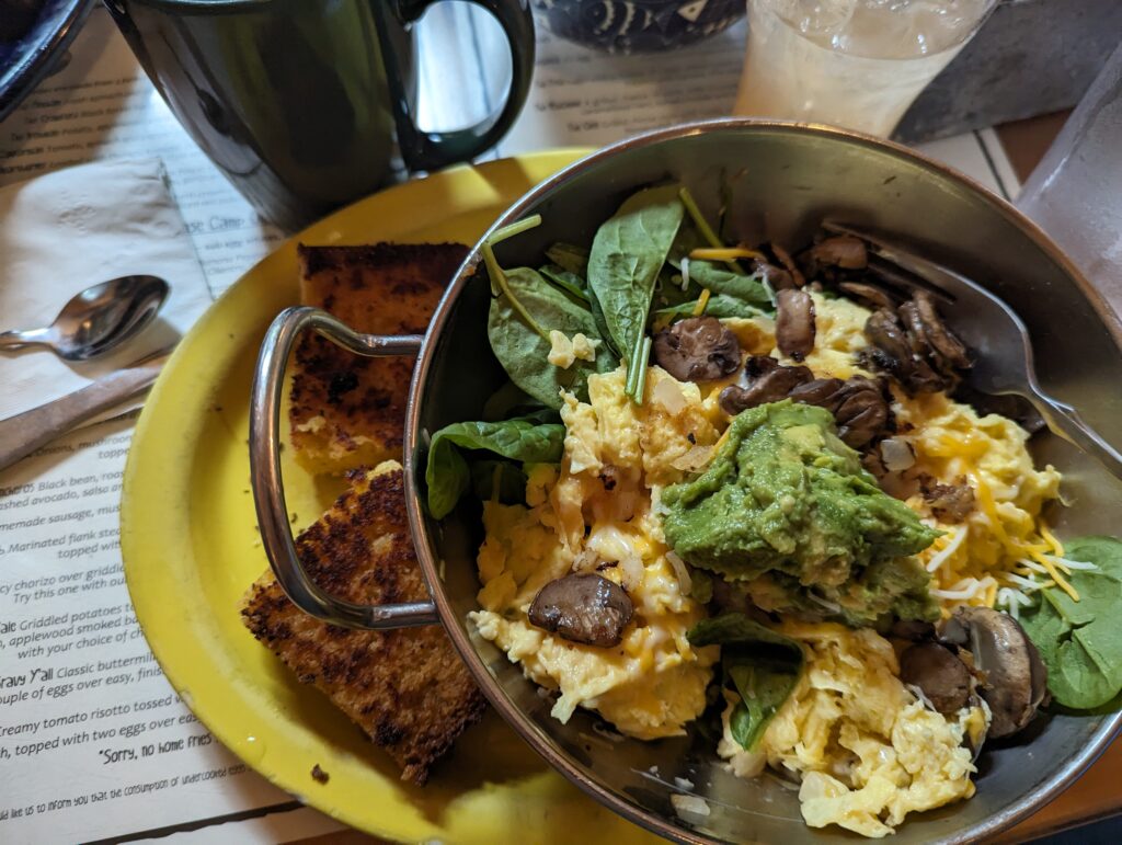
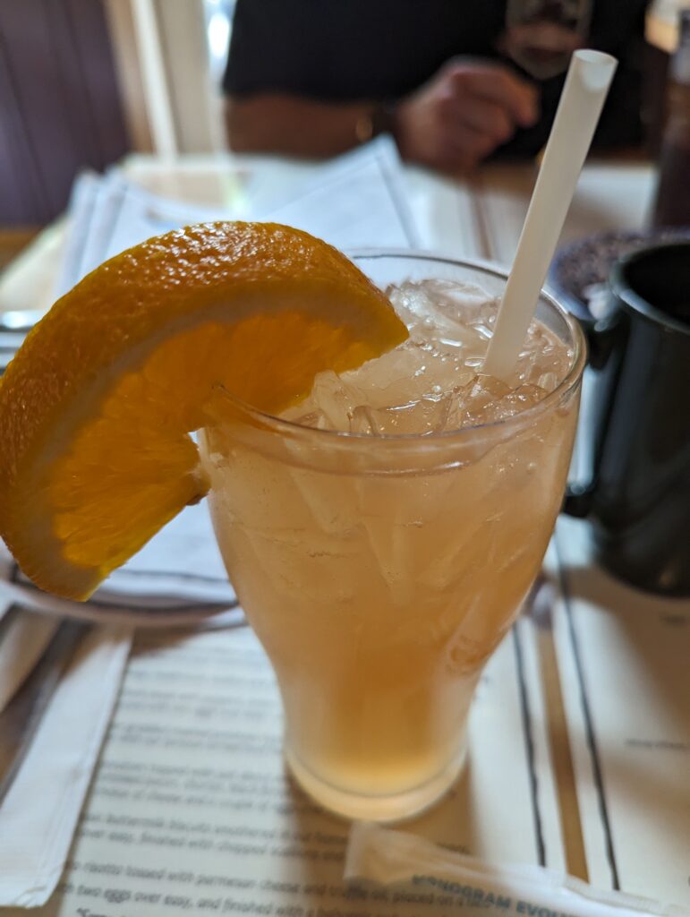
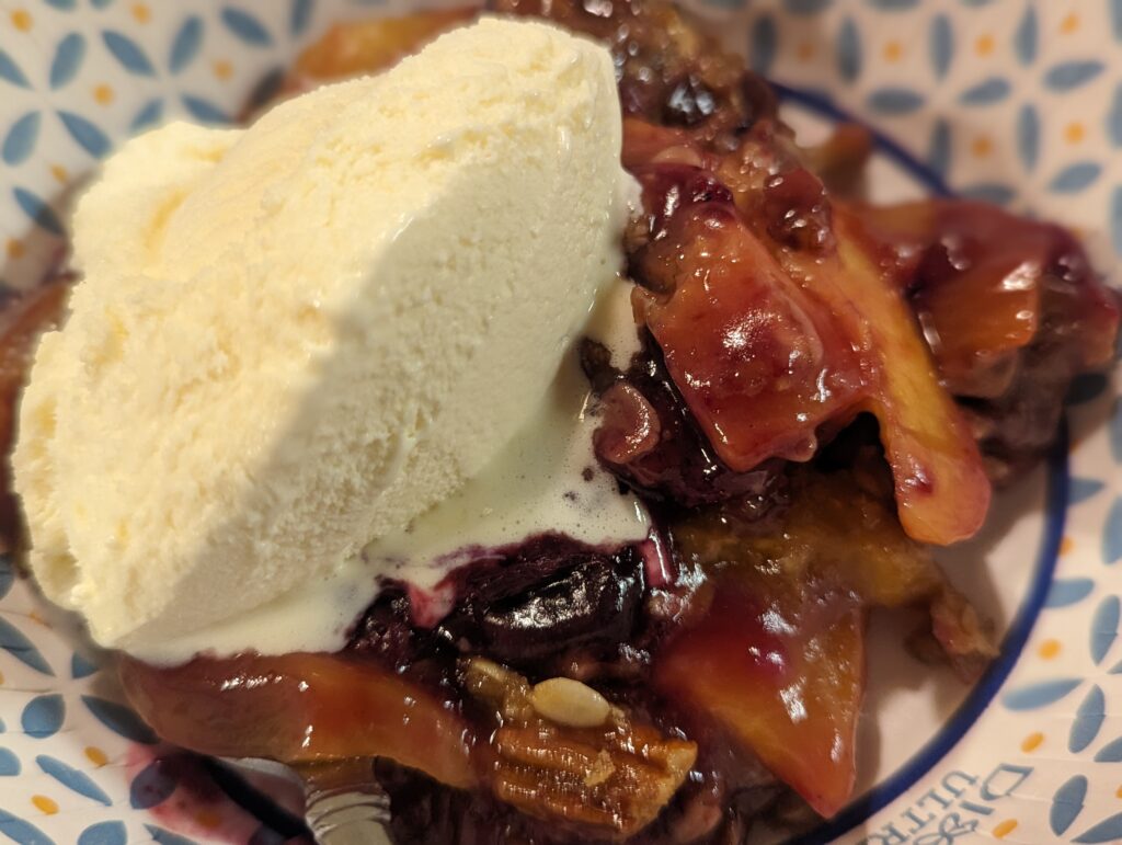
When Shelly and Linda arrived, we agreed that lunch was on everyone’s minds and we went to a lovely restaurant where we all had potato and egg scramble dishes and PANCAKES! On the way back to home base we stopped for groceries, all the essentials and a few non-essentials like ice cream. (If you haven’t ever had the Tillamook campfire peanut butter cup ice cream, you are missing out! It’s still one of my all-time favorites; thanks for turning me on to that flavor, Bud and Susan!!) Back at the Airbnb, we sorted through gear and did laundry, worked on a puzzle and ate baked goods, and I baked a blueberry peach cobbler. We were all still full from our lunch for a full dinner, but we somehow still had room for cobbler and ice cream!
Day 142, Tuesday August 8: Zero Day! I slept in until 7:30am for the first time in a long time. We ate breakfast and enjoyed the Airbnb in the morning, and visited a few local shops in the afternoon. A steady rain fell most of the day, which made Meadow and I extremely and immeasurably grateful for the opportunity to be indoors! We prepared a fresh garden salad and a vegetable-forward pasta salad for dinner, with some grilled chicken and salmon. There may or may not have been a rather large grill fire from the salmon’s “fish oil,” but a gallon of water may or may not have solved the situation completely. The char-broiled salmon was absolutely delicious. For dessert we had the rest of the fruit cobbler and ice cream, chocolates, and Delicious oatmeal raisin and molasses cookies (thank you, Linda!). We stayed at the table late into the night eating, sharing stories (what do a hang glider, a rampaging moose, a horse named Wrangler, and a mechanical bull all have in common?), and laughing until there were tears in our eyes. The day was a beautiful Zero full of food, rest, and fellowship.
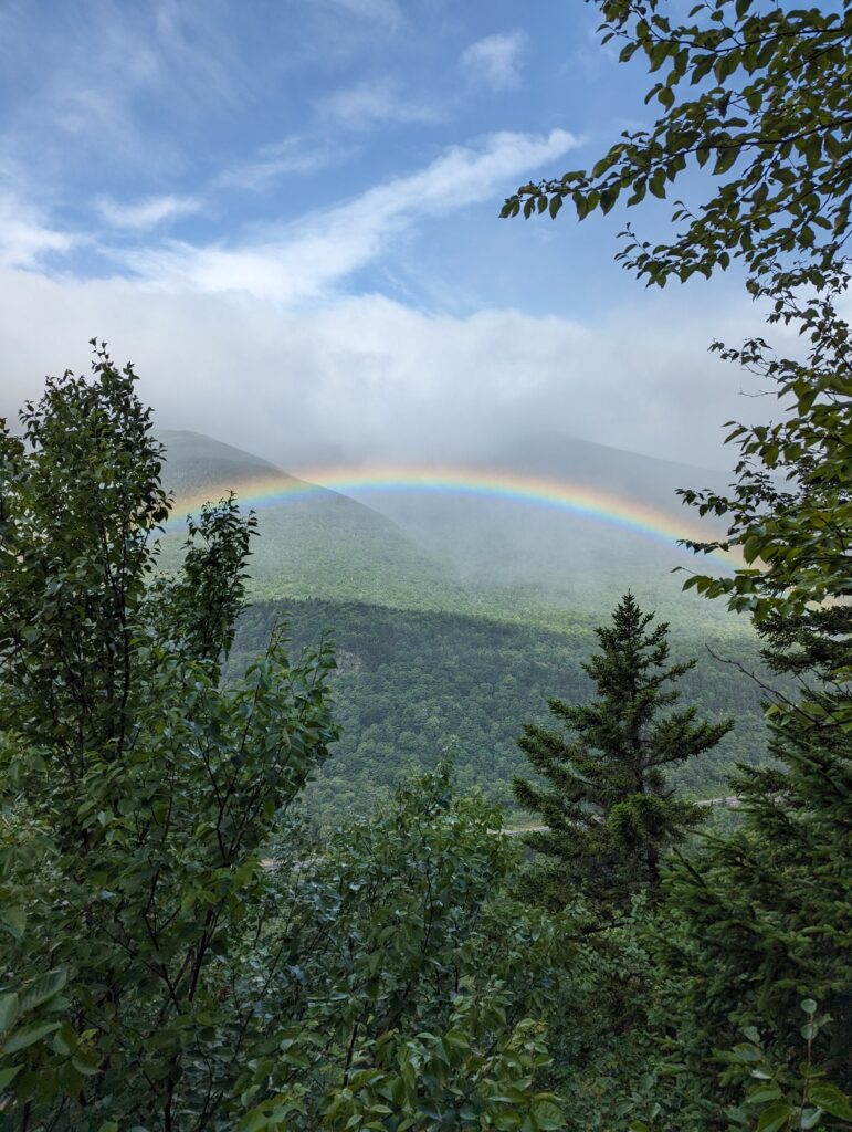
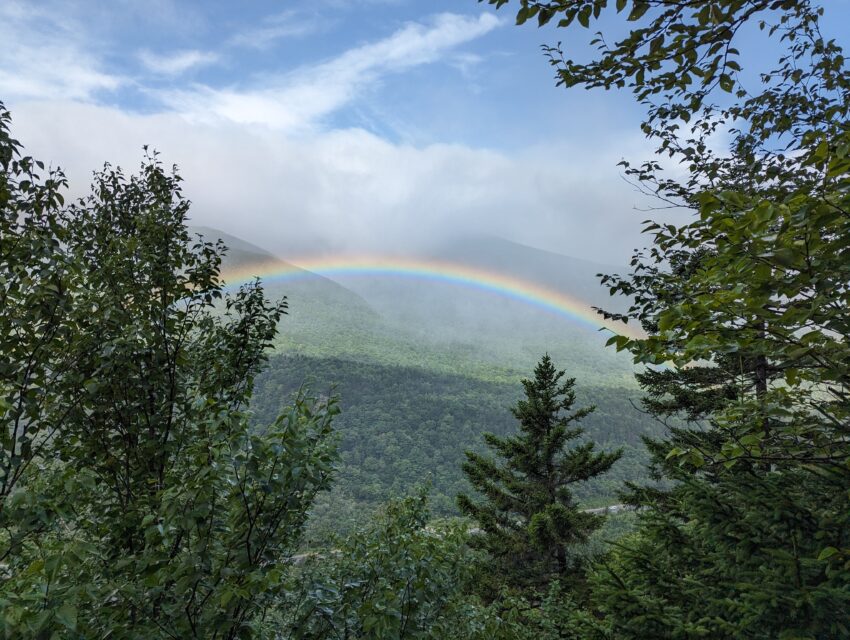
Day 143, Wednesday August 9: My alarm went off at 5am, and I packed up the rest of my backpack. Although we ways look forward to getting back on the trail after a rest day, this refuge and the company seemed particularly difficult to leave. We cleaned up and left the Airbnb shortly after 7am, and hit the Pinkham Notch Visitors Center to begin our hike shortly before 8am. We said our goodbyes in the parking lot as a cold drizzle began to fall, and then headed off onto the damp and misty trail while our friends began the long drive home. The first task of the day was to climb several thousand feet to the top of the mountain known as Wildcat D to those who ski down the opposite side of it. The trail became difficult instantly, with rocks and roots that seemed intent on tripping any hiker who lost focus even for a split second. We struggled up the first part of the mountain, our packs weight down with our immense food bags with five days of sustenance. As we climbed up to an exposed person fo rock ledges, the wind picked up and began to blow at gusts strong enough to push us around. I clung to the rock for dear life, inching my way around the ledges and willing my feet to keep their traction so I didn’t up and fall. Once we got to a safe enough place to risk turning around for a view of the mountain, we both gasped in shock: a huge, vibrant rainbow shone proudly over the valley below us. Despite the wind and the stinging rain, at least we could find one good thing about the weather!
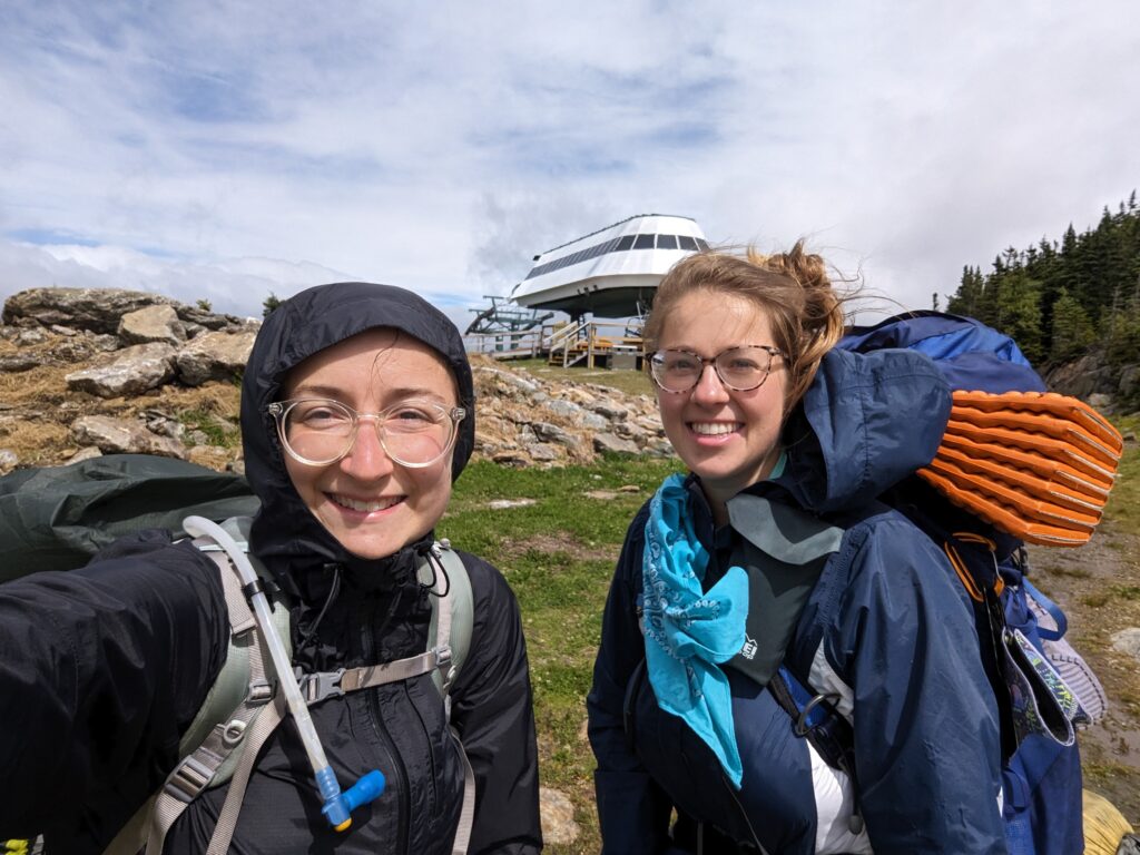
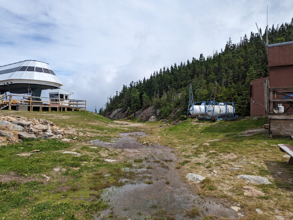
We continued the climb up Wildcat D. At times the mountain offered us nothing more than a slick, sheer rock face to clamber up. The wind only got stronger as we increased in elevation, and the climb grew increasingly difficult due to the rocks. After what felt like an eternity, we finally summited Wildcat D and stumbled out into the exposed summit where the ski lift would drop happy skiers off at the very top (no walking for them!). Without the protection of pine trees, the wind whipped across the exposed summit with forces that flattened the grass and neat toppled us over. We walked across the expanse, looking very much like two people who would fail a breathalizer test if we were asked to walk a straight line. As a test, I lifted my trekking poles and leaned forward into the wind, able to lean much farther than gravity would have normally allowed. The worst wind I’ve ever experienced was on top of a munro mountain in Scotland, where Nick and I had to army crawl on our stomachs to avoid being tossed into the air. The wind on Wildcat D wasn’t quite that bad as I could still walk unsteadily on my feet, but it definitely took second place!
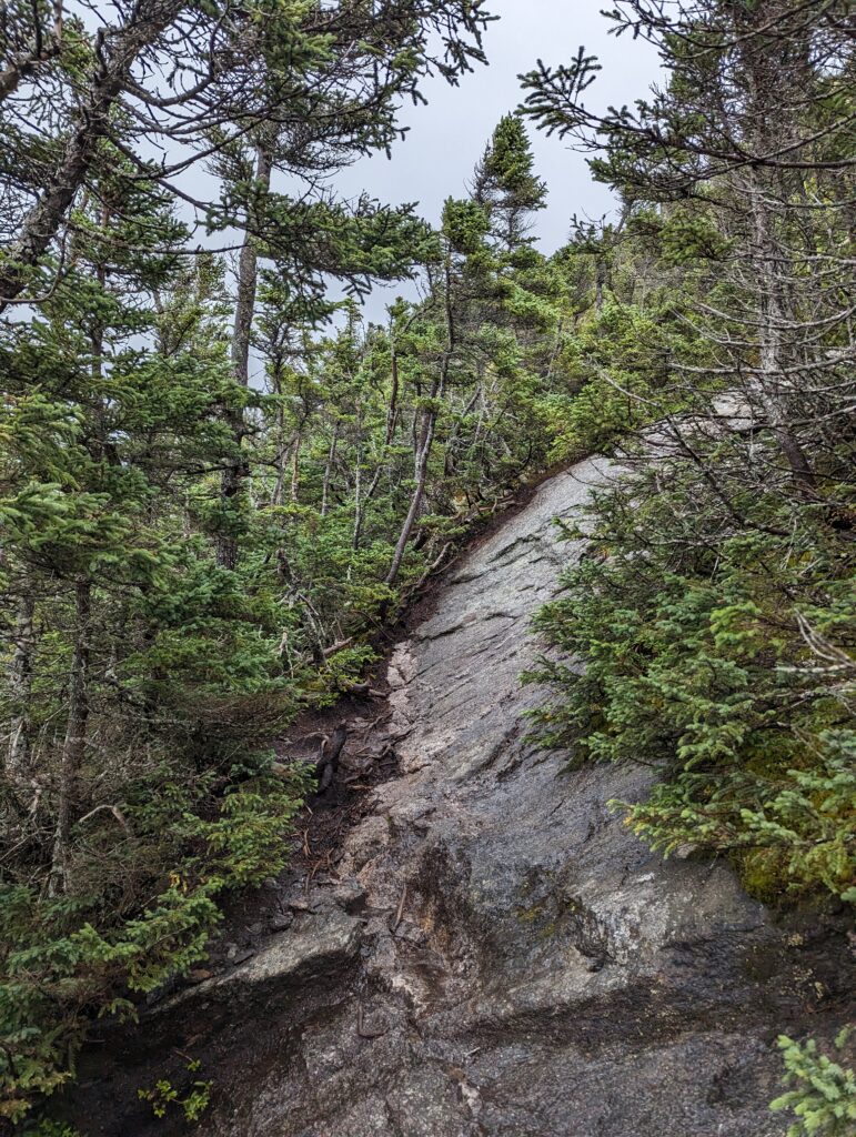
We fought our way across the exposed summit and mercifully reentered the forest on the other side with a little more adrenaline in our blood. I felt relief that we had just completed a difficult section of the day’s hike, but I did not realize at the time that the day’s challenges had not yet begun. The descent down Wildcat D was far worse than the ascent, with the same slippery slopes and alarmingly steep boulder fields as on the way up, but harder to navigate on the way down. We hiked on and on for the rest of the morning and into the afternoon, cresting the official Wildcat Mountain and reaching the bottom near Carter Notch Hut. By the time we reached the hut, we had been hiking for six demanding hours and had only traveled six miles, with plenty more to go. The rushing sound of the wicked wind coursing through the treetops above and around us was ever-present, and it began to fade into white noise during the moments when we were submerged beneath the sea of protective trees. We took a snack break to collect ourselves, and then pushed on. We decided not to visit the AMC Carter Notch Hut to save time, which was regrettable but ultimately the right decision. The hut stood on a beautiful alpine pond with a backdrop of craggy cliffs, and I hope to go back to visit it some day. We climbed Carter Dome next, which was (shocker!) also incredibly difficult. Partway up the mountain I turned around to see the Carter Hut complex with its tiny green roofs far below us. We had climbed a significant amount of elevation but had not made.mixh lateral distance, which was discouraging. It took us over an hour to climb Carter Dome, and when we reached the exposed summit we found that the wind was still just as strong as it was that morning. We walked carefully across the rocky mountaintop, and when we reached the trail headed down the other side we were buffeted directly by the wind blowing up from the valley below. The wind was so strong we could barely force ourselves down onto the trail without just letting ourselves fall forward, but eventually we bested the wind and struck forward onto the trail.
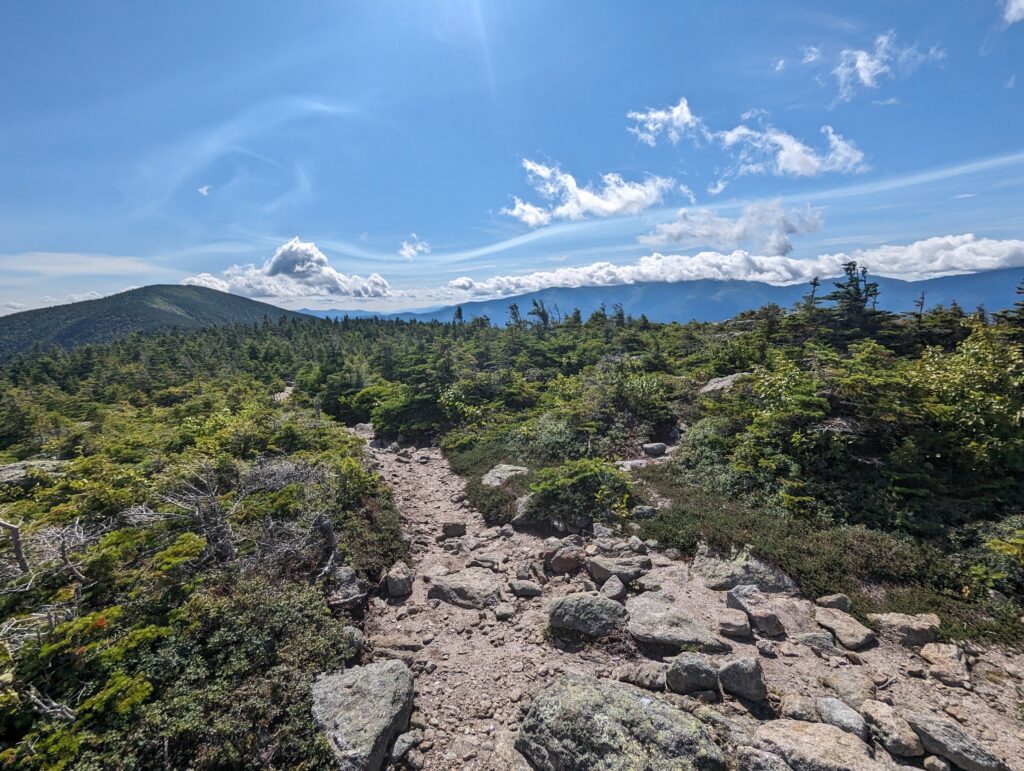
We left the summit of Carter Dome just before 3:30pm. For the next five hours, we continued to push forward through the wind and over slick boulders as we summited the rest of the Carters: Carter South, Middle Carter, and Carter North. We passed through an alpine bog on slick boards, but other than that one section of flat terrain we were at the mercy of the mountains’ unforgiving undulations. I began to lose trust in my shoes’ tread, expecting my feet to skid with every step on the smooth rock so that I didn’t feel surprised or betrayed when my feet did slip. Meadow and I spoke very little the whole day, partly due to the wind being so loud at all times, and partly because we needed to fully focus on every step we took. During the descent down Middle Carter, we came upon a steep rock slope lines with pine trees. I absent-mindedly grabbed a few pine branches with my left hand to steady myself as I took a step, and without warning both of my feet started sliding RAPIDO down the rock. My incidental one-handed grip on a few pine sticks was the only thing that saved me from falling several feet. Once I collected myself and made it safely down to the bottom, I flexed my left hand and realized that a patch of skin on my pinky finger was numb from my grip on the trees. It stayed numb for the rest of the day. We pushed on and on through the afternoon, the sun beginning to set before we reached the last water source before the shelter we planned to camp at. We filtered water in the diminishing light, and I wondered whether we would make it to the shelter before needing our headlamps. As we filtered, Meadow’s pack began tipping over and rolling down the hill into the stream; I dropped the filter bag and leapt after it, surprising even myself with how quickly I could still move in an emergency. We dragged ourselves into the Imp Shelter area after 8pm, maybe ten minutes before it would have been too dark to see without our headlamps. Everyone at the shelter was discussing how hard the day was, one hiker shaking his head and solemnly saying “I don’t think my knees will ever be the same again.” By some miracle there was still space in the shelter, and we set up our sleeping kits and cooked dinner. Neither of us really felt like cooking, but we knew we needed to keep up our energy, and also lighten our packs by eating our allotment of food. We shielded the stove with our bags of potato corn chowder to prevent the wind from interfering with the burner, and split a celebratory Snickers bar. Although the day was the hardest we had experienced on the trail so far, we had still completed thirteen miles without any serious incidents. We fell asleep along with the other hikers around 9:30pm, the sound of the rushing wind still strong in my ears.
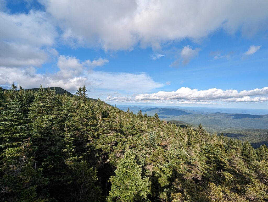
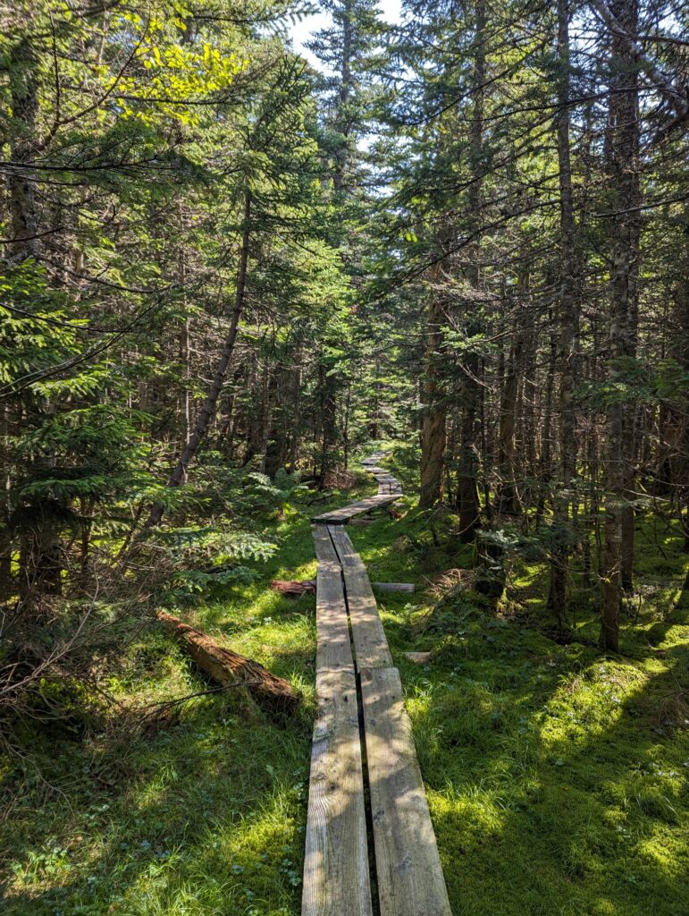
Day 144, Thursday August 10: I woke up in the Imp Shelter around 6am, and was completely surprised that nobody else in the shelter had stirred yet. There is almost always a pre-dawn riser in a shelter, but I just took it to mean that everyone had a hard day yesterday. I ran to the privy and by the time I got back, a few other people were packing up their gear as well. We packed up our sleeping kits and cooked some oatmeal on the porch of the shelter. A hiker named Soapy came by the porch, and apologized to a few of the other hikers for his “rant” from the previous night. He apparently had also had a rough day on the Wildcat mountain and the Carters, and was yelling at camp the previous evening about how dangerous it was and that he had wanted to quit; he apologized to the folks who had listened to him for spreading the negativity and said that he was grateful for the strength each day to go for one more day. The brutal winds from the day before had died down to a normal whisper, for which I was grateful. Once it was time to leave, we packed up the rest of our belongings and headed back to the trail. The first task for the day was to climb Mount Moriah. The climb lasted two miles and was relatively steep at times, but felt like nothing compared to the torture we had endured the day before. We were treated to a few flat sections with slippery bog boards, but at least they were flat! At the summit we could see part of the Carter ridgeline we had traversed the day before, which neither of us were interested in seeing again.
As we descended the other side of Moriah, we celebrated the fact that it had been the last mountain over 4,000 feet above sea level that we would climb in New Hampshire! On the other side, the trail was initially quite steep and rocky. However, within a few miles of the summit the rocks dwindled to “normal” levels and we felt that we were actually just “walking” instead of climbing or engaging in “controlled falling.” For the rest of the day, we were able to hike faster than we had since the beginning of New Hampshire. We descended down a long stream valley, arriving at a shelter where we took a lunch break. When we arrived, an older gentleman with a red handkerchief tied around his neck was also taking a break in the shelter. In a very weak but kind voice, he told us that the trail went behind the shelter, and there were a lot of people who got lost because they didn’t know where the trail went. He asked me where we were from and whether we were thru-hikers. Eventually he collected his wooden walking stick and said just getting there from the parking lot and back again was “far enough for an old man,” and disappeared back into the forest. We took our time finishing our snacks, and rested a bit at the shelter before following in his footsteps. After passing the parking lot and a short road walk, we hit a marker laid out in birch branches that we had gone 1,900 miles. We just WALKED 1,900 MILES?!?
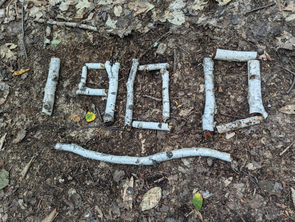
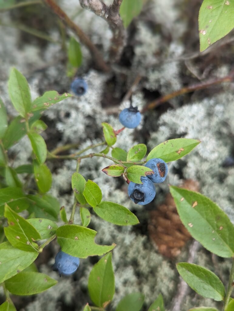
After another short road walk, a small camper van with a bear, moose, and the AT logo painted on the side pulled over in front of us. “Are you ladies Thru-Hikers? And would you like an ice cream sandwich?” The temperature had soared to the high 80s that afternoon, and walking on the road had been a sweltering experience. We accepted the ice cream sandwiches gratefully and waved to the driver as he pulled away. The climb up the last few miles of the day was hot and arduous, but we stopped to enjoy the views and some of the copious tiny blueberries we found along the way.
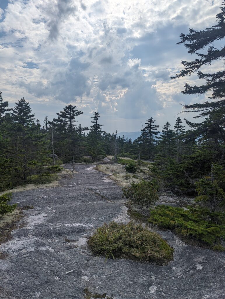
We made it to the campsite around 6pm just as it was starting to drizzle. We quickly began setting up the tent next to another one in the area, and its occupant called out in a familiar voice…it was our friend Smoke! He was recovering from being sick and had completed a short hiking day, but was feeling better and just resting in his tent. We completed our camp chores and carefully cooked dinner in the tent vestibule as it began to rain. In the late evening, we heard huge flapping noises as if an enormous bird was flying right over our tent. I stuck my head out of the tent to see some large birds flying hugh over the trees–I couldn’t believe their wingbeats were that loud and they were so high above us; it sounded like they were right on top of us! As the sun set, a heavy rain set in and it poured all night. I woke up only briefly throughout the night, listening to the downpour for mere seconds before being able to repeatedly fall back to sleep.
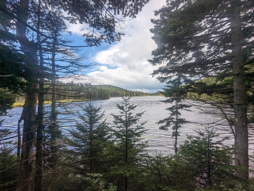
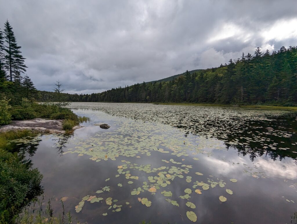
Day 145, Friday August 11: I woke up around 6am to the softly increasing light illuminating the tent, and the sound of a few errant raindrops dripping from the trees above. The sky was partly cloudy, but I could see some blue peeking through the clouds. We had breakfast-in-tent, cold soaking some oatmeal to save time and fuel. Smoke was packing his things up very slowly, hanging his sleeping bag and a few other items over tree branches nearby. “Did you guys stay dry last night? I woke up with a puddle in my tent…” Our tent had successfully protected us from the driving rains, partially due to the fact that Smoke had chosen the most level and lowest tent pad in the area. We finished packing up and said goodbye to Smoke, and then headed back to the damp trail. The rain had left the trail soaked, which now I clouded wet rocks and a few streams that rain down the boulders in small cascades. Although a few patches of blue sky remained, the clouds grew darker and more threatening. We climbed up and over several huge, rounded, exposed boulders, which made it seem like the entire ridge was made up of a giant sphere of rock. Moss and shrubby pine trees lined the path that was worn into the rock by hundreds of thousands of feet passing over it. Within the first few miles of the day we passed an alpine pond and a lake, both rimmed with pine trees and mountains. The sun peeked out from behind the clouds every now and then, turning the water’s surfaces to glitter.
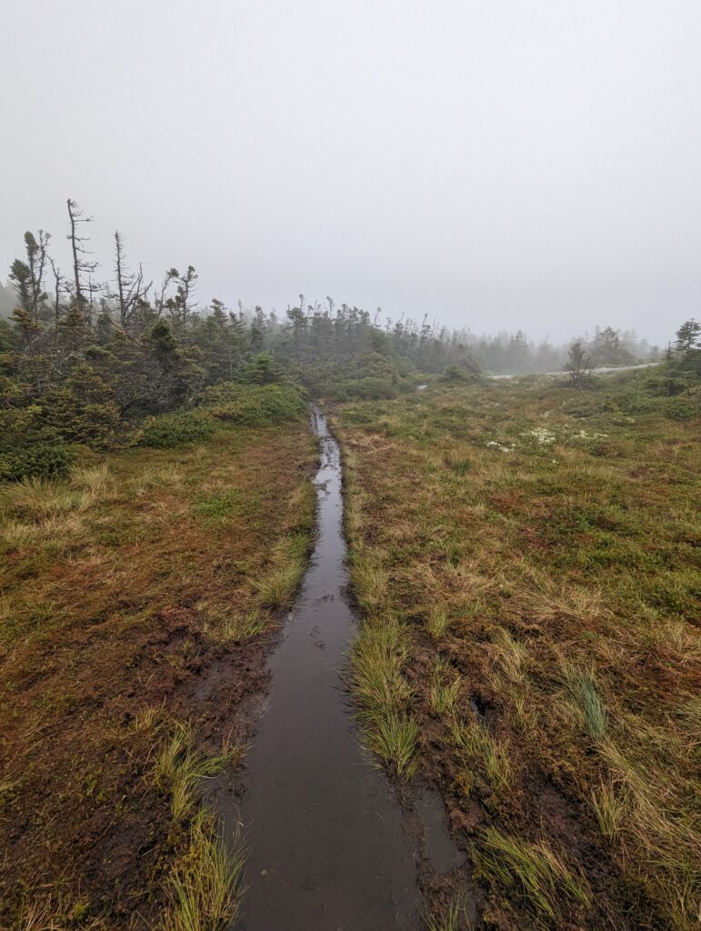
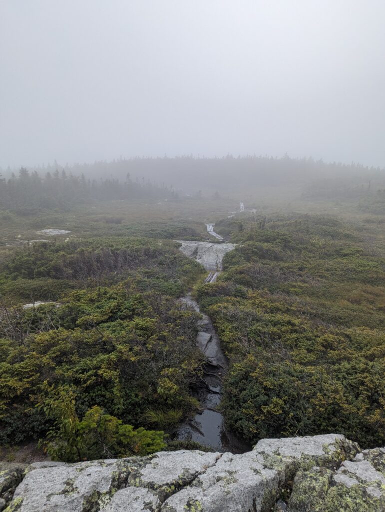
After a few miles of hiking, we left the White Mountains National Forest boundary; we had made it out of the Whites! We only had one last mountain to climb in New Hampshire: Mount Success.The ascent was relatively easy, although the streams running down the rounded, smooth boulders made for some treacherous terrain at times. After a few short miles and a 2,000-foot climb, we made it nearly to the top. There was an alpine bog near the summit of Mount Success, and it was there that New Hampshire gave us one last fight. Once we were exposed, a freezing rain began to fall and the wind whipped it at our exposed legs and faces like knives. We put our pack covers and raincoats on, and visibility quickly dropped. Meadow stepped on a bog board that sunk quickly into the quagmire, and she fell waist-deep into the soupy black mud. I stopped abruptly about ten feet behind her and stood there with my mouth hanging g open, aghast. I offered to help, but she was able to free herself and trudge out of the mud pit while I picked my way carefully around the edge. The rain continued and a thick fog rolled in, and before long we were shivering with the cold. We VERY cautiously picked our way through the rest of the bog to the summit of Mount Success, which we started calling by another name, just as the rain began to let up again. Even after the Deep Mud Pit was circumnavigated, we both sunk into the mud beyond our ankles anyway. We took a few seconds to take in the foggy view from the summit, and then allowed the wind to chase us up the trail.
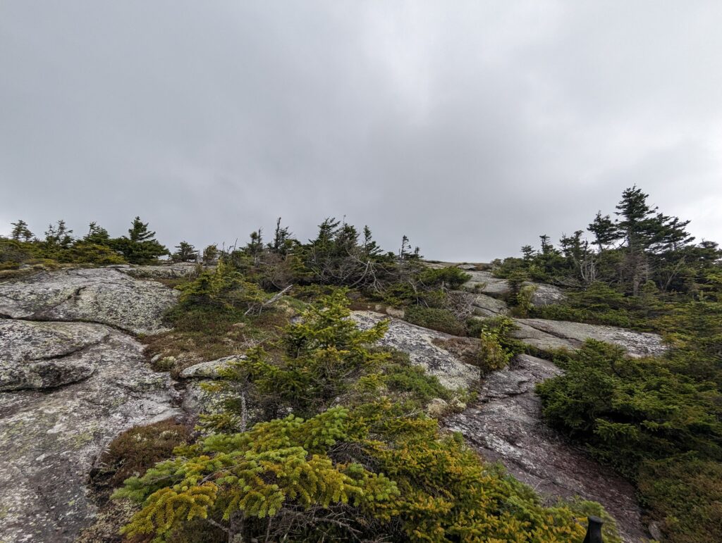
After descending a bit into the cover of trees, we laughed at how quickly our last mountain in New Hampshire had put up a fight between the freezing rain and the mud pits. We felt like we had lost the battle, but not the war: we kept going. The descent down Mount Success was harrowing at times, but manageable. After a few more miles, we arrived at a little white sign that told us we had made it to the New Hampshire-Maine border. Our last state border! After hiking over 1,900 miles, we were finally in the same state as our final destination, Mount Katahdin. We hade made it to Maine! Despite the drizzly rain and the cold temperatures, I felt a sense of gratitude and pride, and a renewed commitment to seeing this through.
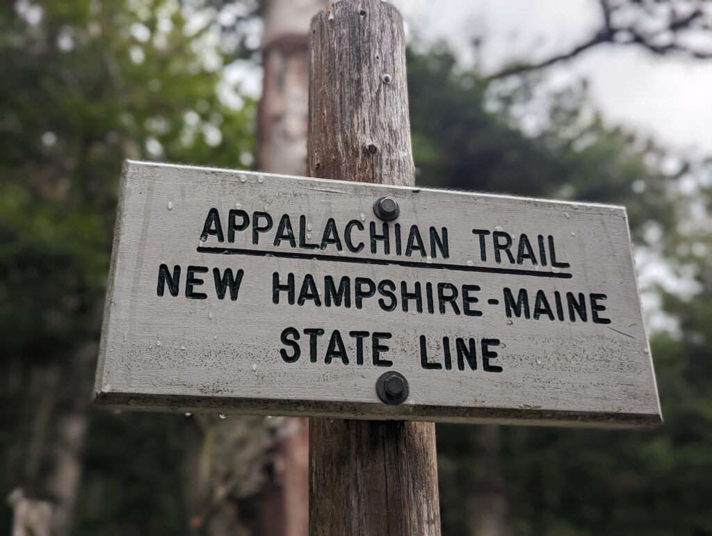
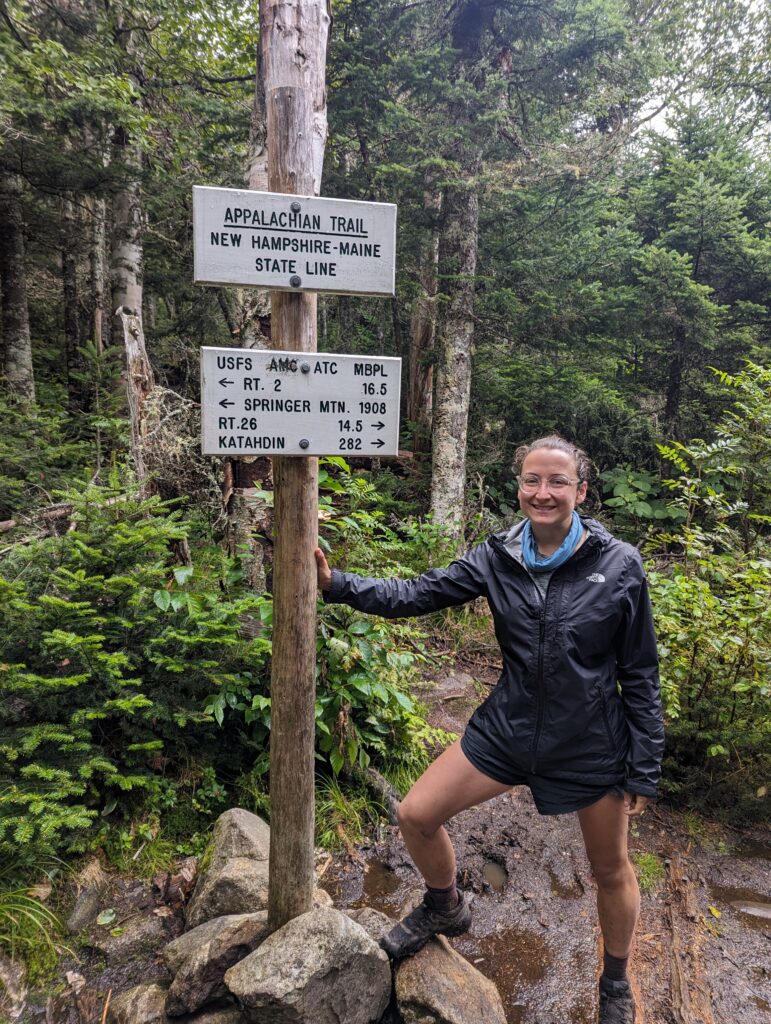
We ate our last snack for the day and began the half-mile hike down to our shelter for the evening. This last half mile of the day was the most treacherous section of trail we had seen so far, with huge rock slabs to navigate through. The footholds were too far apart to reach, so we were required to lower ourselves down as much as possible and then just let go, hoping we landed with solid footing. After a short ten-mile day that felt much longer, we made it to the Carlo Col Shelter around 5pm. We filtered water and cooked dinner, and eventually Soapy came through and said hello. We had planned on waking up early the next morning to allow plenty of time for the Mahoosuc Notch: the most difficult (and allegedly fun!) mile on the whole AT. Due to the dropping temperatures and early rise time, Sleeping Bag O’clock arrived before 7:30pm.
Day 146, Saturday August 12: The 5:30am alarm seemed to go off way too early. We packed up our gear and cooked our oatmeal in the shelter, saving the socks and shoes for last because they were still wet and cold. Once fully prepared, we hiked back up to the side trail to begin the day’s hike. At the trail junction, there was a small fabric sign that said “You can do it! Be brave!” which made us smile. You’re right, little pink man–we CAN do it!
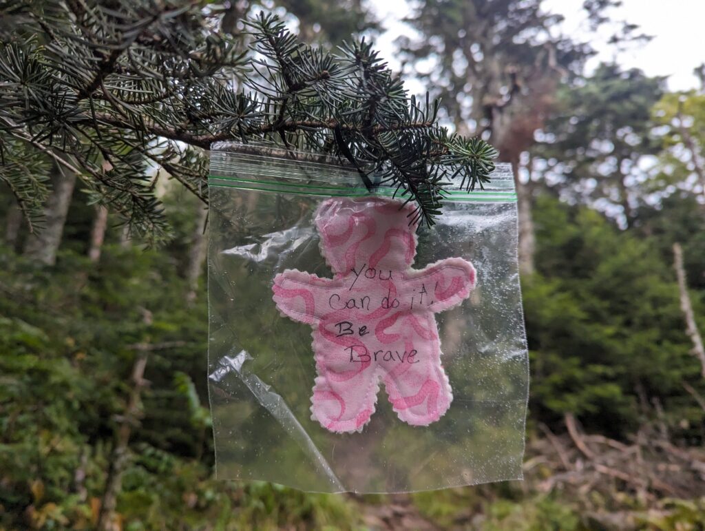
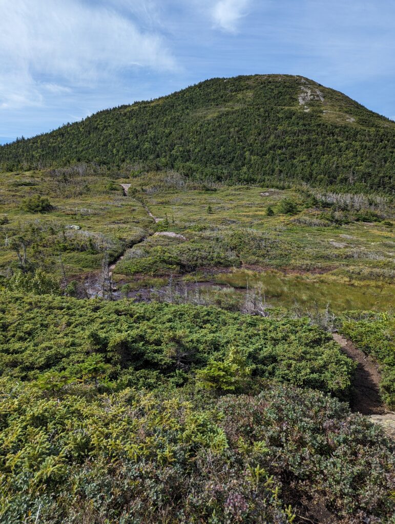
We began the day by hiking up Goose Eye Mountain, which was strenuous but not overly rocky. There were a few sections where rungs were set into the stone to assist with climbing, which were a little harrowing but better than free-climbing with a thirty-pound pack! The sun shone brightly in a clear sky, but a cold wind kept us from overheating. We could see the summit from far away as we hiked through some exposed alpine bog areas, making sure to test each bog board before putting any weight on it. As we passed through a large mud pit, a black and white pit bull ran down the trail toward us, partially sinking into the mud once he reached us. His owner came hiking up the trail after him, yelling for his dog. “Loki! LOKI!! Oh, don’t worry about him. He’s just a big baby.” Upon confirmation that he was friendly, I started scratching Loki’s head and the tail started wagging. After his owner passed us Loki turned and followed, now much more black than white from falling into the mud.
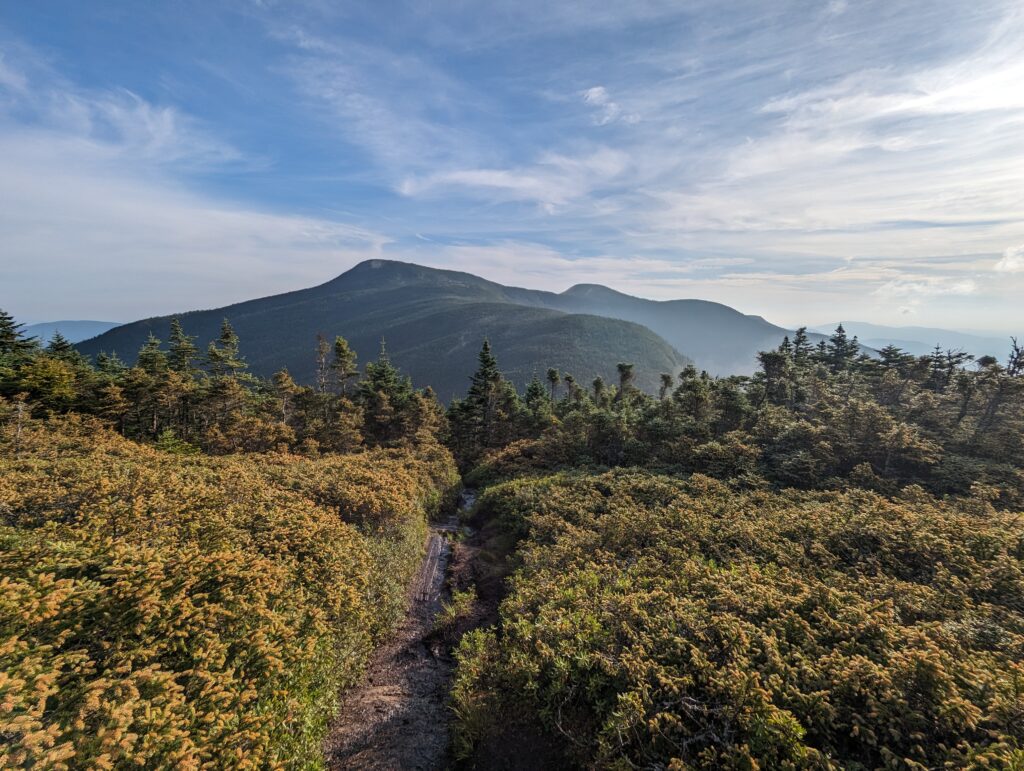
We pressed on through the sunshine and eventually reached the top of the mountain. We could see the trail extending for what seemed like miles in both directions–where we had been, and where we had yet to go. The descent down Goose Eye Mountain was much more harrowing than the ascent. There were long sections of trail that simply followed a huge, exposed rock face which offered little in the way of handholds or descent footing. On the flat sections of the descent, there were numerous bog boards that were extremely slick. At one point both my feet shot out from under me and I fell hard on my backpack; luckily nothing in my backpack or my body was broken, so all was well. However, I still took my time on the damp bog boards after that!
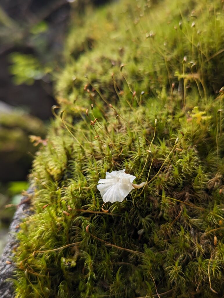
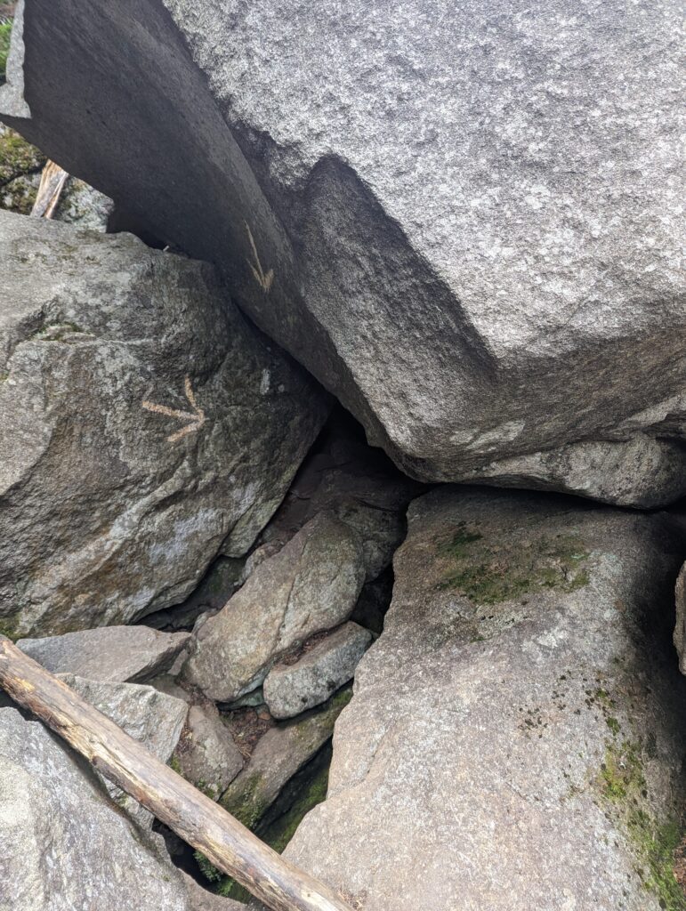
After descending down the mountain we took our lunch break at a shelter, and hiked another two miles to what we had heard was the “hardest mile in the AT.” The Mahoosuc Notch is a 0.8-mile section of trail that follows along a narrow ravine in the Mahoosuc Range. Huge, angular boulders have fallen from the cliffs high above and collected in the ravine, which must then be climbed over and under by hikers. The Mahoosuc Notch is known for being difficult to traverse, but so very fun if you like rock scrambling. I had been looking forward to reaching it, and we were finally here! We stopped at the beginning of the Notch to steele ourselves, and then headed in. Traversing the Notch will definitely stand out as a memorable part of the experience because of how different–and difficult–it was. We had to stow our trekking poles to allow for full use of our hands for climbing. For the first time, I was using my arms just as much as (if not more than) my legs. We climbed up rock faces, lowered ourselves down tree roots, shimmied up thin rock gaps, and dragged our packs through tunnels under enormous boulders. It took us three hours to traverse the Mahoosuc Notch, which is longer than it takes most people because we were taking photos and enjoying it (and it was also really hard for us short people!). By the time we reached the other side, we were exhausted from the full-body workout but proud that it was over.
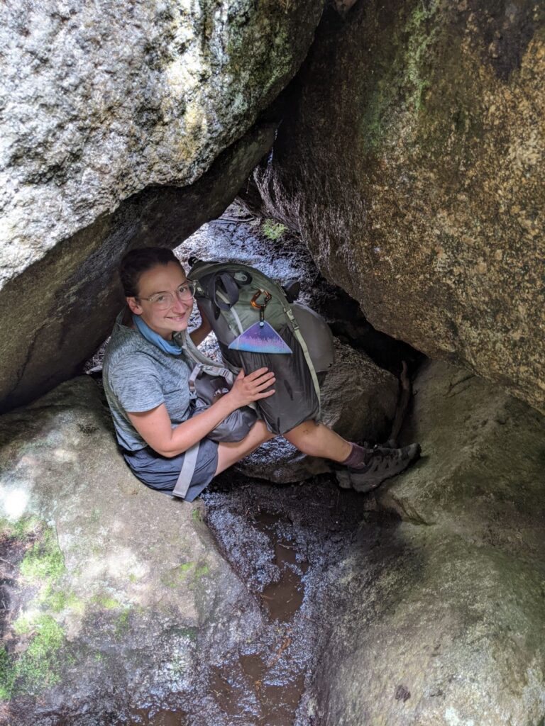
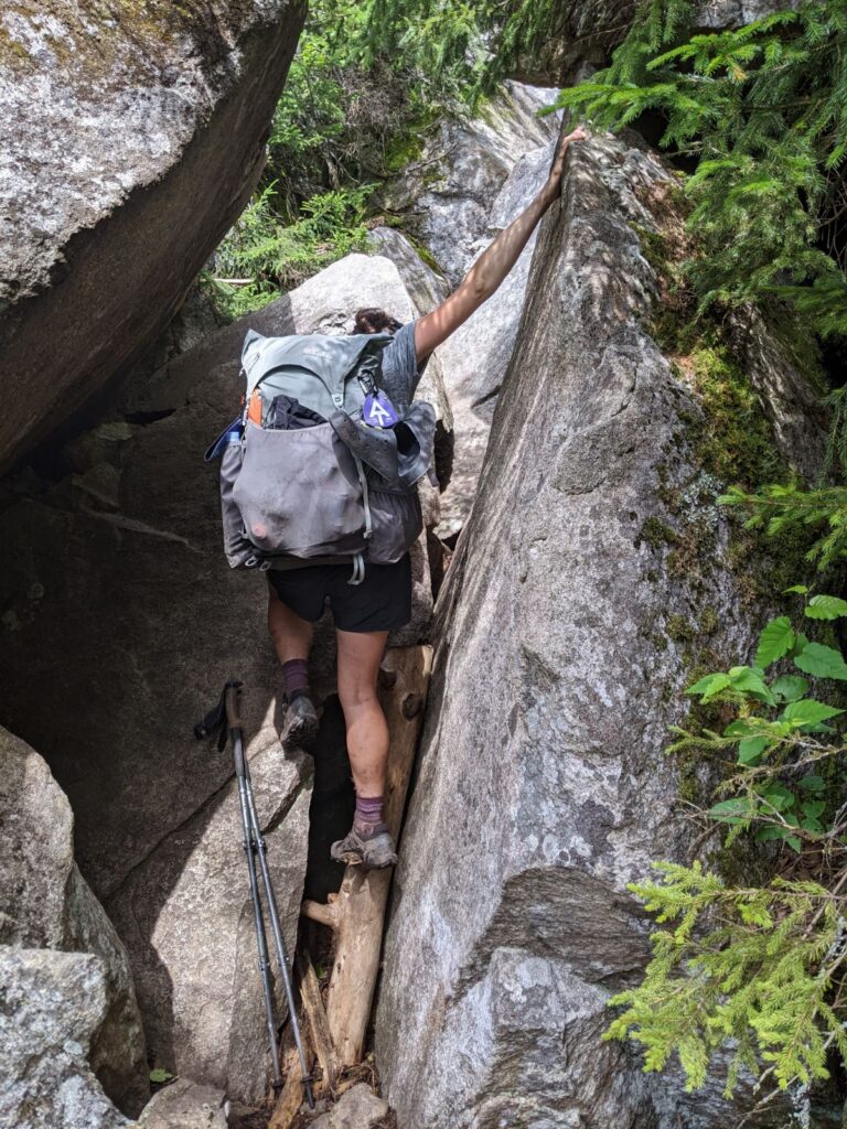
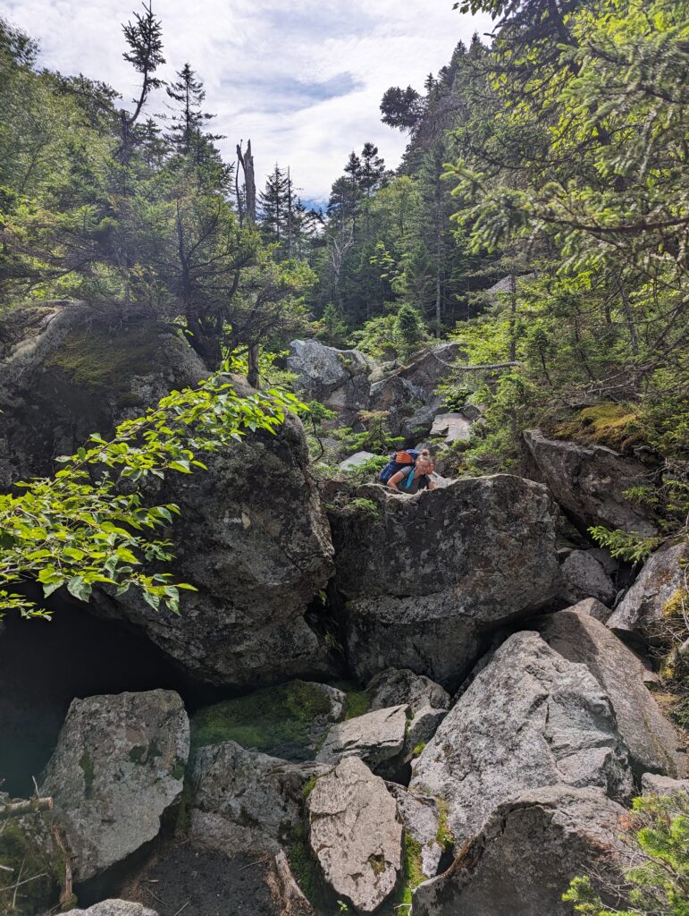
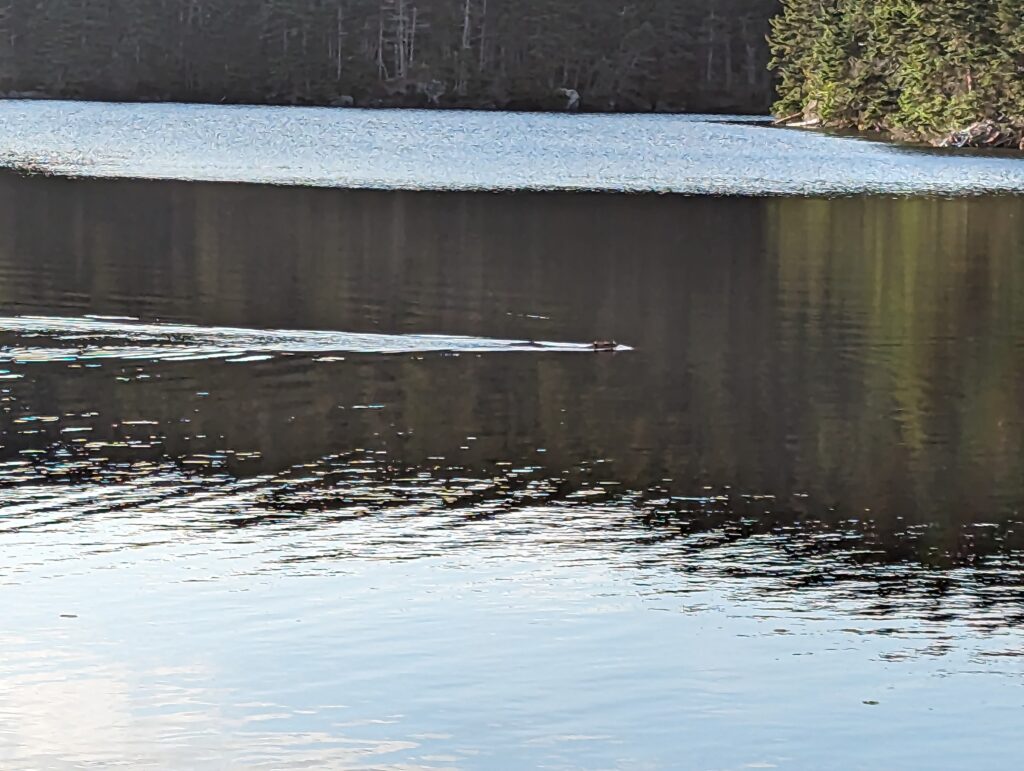
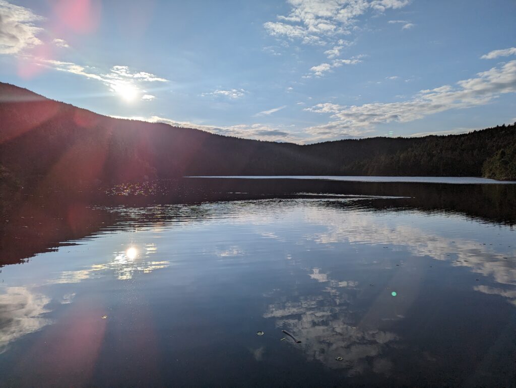
That wasn’t the end of our day, though. We then climbed up the Mahoosuc Arm, which was incredibly steep and filled with more vertical rock faces. We had made it nearly to the top when I fell and landed hard on both my knees. Although they didn’t feel too damaged, the left knee was bloodied a little. Not wanting to take any longer to get to camp than necessary, I found a damp patch of moss to wipe some of the mud off with, and we kept on climbing. Once we reached the summit, it was a comparatively easy climb down to the shelter on the edge of Speck Pond. The pond was beautiful and we had reached it just before sunset. I noticed a few things swimming around on the water, but they looked like really strange birds…I kept looking and realized they weren’t birds at all: beavers! There were two beavers swimming in the lake, which checked off one of the animals I was hoping to see on the trail. As we watched, one beaver ducked underwater and resurfaced quite a distance away. The other beaver also submerged, slapping its tail on the water as it did so. Beavers gotta beav! We stumbled into the shelter, exhausted after our short 9.5-mile day, and paid the caretaker our fee to stay there. We hobbled to the spring to filter our orange water discolored by the tannins, and then hobbled back out the cooking area to make dinner. By the time we made it to our sleeping bags, it was almost 8:30pm.
Day 147, Sunday August 13: When the 5:30am alarm went off, Meadow and I were the first to stir in the shelter: surprisingly, once again the four other hikers in the shelter were sleeping later than us. I made the daily trip to the privy and returned to the shelter to begin packing my stuff as quietly as possible. Meadow and I ate a silent breakfast of protein bars before putting on our socks and shoes and heading back to the trail. The overnight rain had soaked the trail and the rocks beneath our feet, but I could see the smallest patch of blue sky reflected off the serene Speck Pond as we passed it for the last time. The climb up Speck Mountain was steep, and required the hand-over-hame climbing that we were becoming more accustomed to by the day. The stone walls we ascended were rough and textured, which had veins of crystalline quartz flecked throughout the sandstone. The texture provided the traction that we needed on the damp stone surfaces, and although the rock faces were over a 70% or 80% grade in places we were able to walk up them with minimal slipping. About halfway up the mountain a ledge that was wide enough for us to turn around on gave us the opportunity admire the view. We could see the entire mountain range and the valleys spread out before us, with thick white fog gathering in the low points. The sun highlighted some of the vastness but left other areas in shadow as clouds rolled in. As we watched, a rainbow appeared to connect the misty sky above to the very top of the mountain peak that we had summited the previous day.
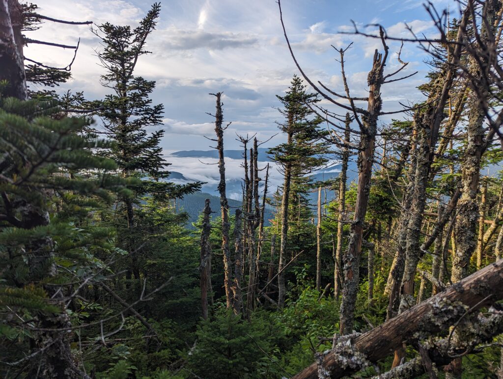
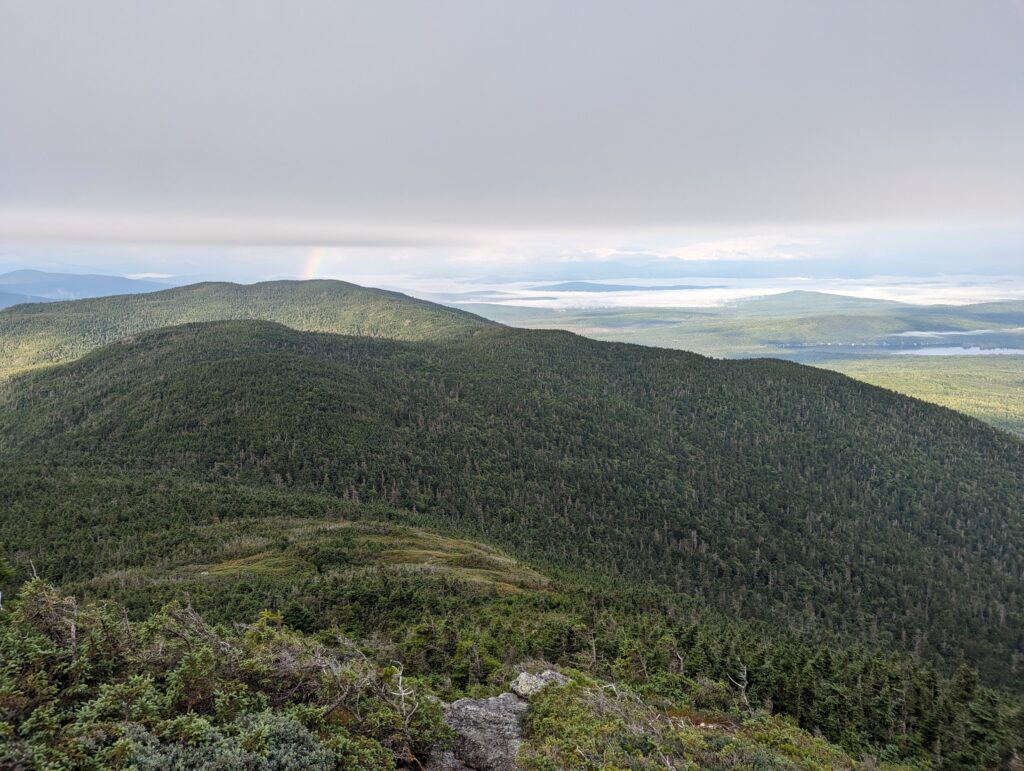
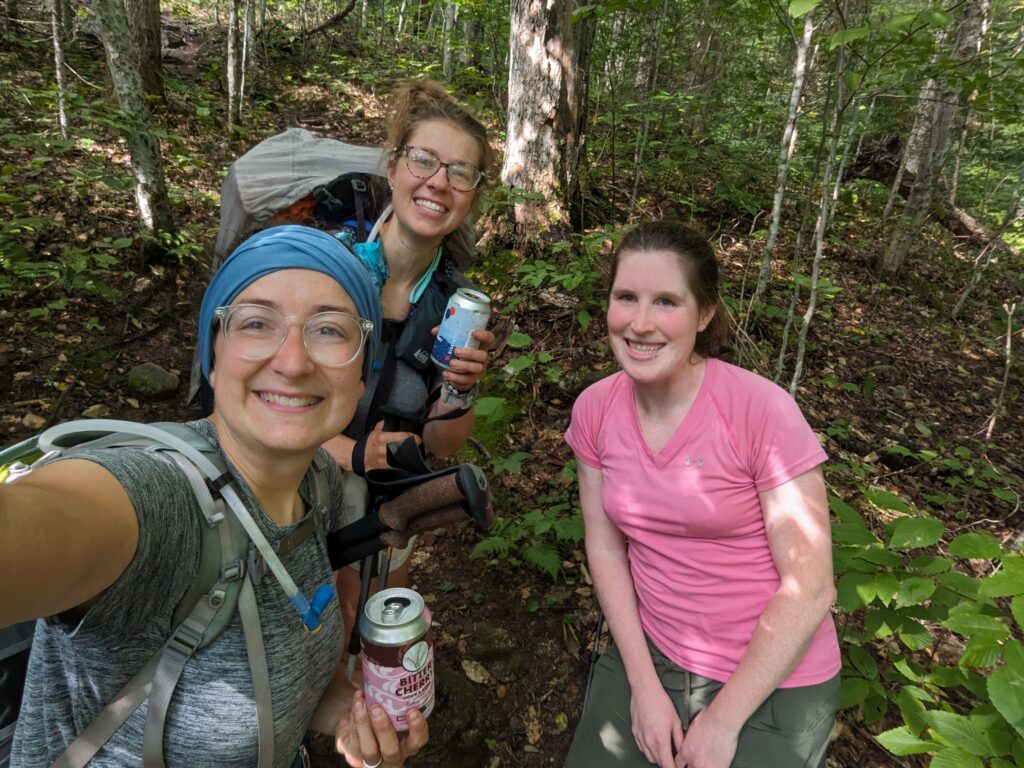
Eventually we turned our attention back to the rock slides before us, and continued climbing Mount Speck. The rest of the climb passed quickly, and before we knew it we were at the crest of the AT on the mountain. The summit We had been told that this was the last place we were guaranteed cell service before the bottom, I called our motel in Bethel to schedule our shuttle pickup. A man named Kevin with a raspy voice answered, and told us he’d be waiting for us at the parking lot. “But take your time!” he yelled into the phone. “Don’t hurt yourself on the way down.” We began the descent into Grafton Notch, clambering over large rocks as usual. We didn’t have any huge rock faces to slide down, but the small boulders we stepped over slowed us down considerably. We passed a group of about a dozen young teens heading up the trail, and they asked us whether there was a view at the top. I didn’t want to make false promises, so I said it has fogged over but might be clear by the time they arrived. Most of the boys looked like they weren’t having much fun on the climb, but I hoped they would come around. Meadow and I got within a few hundred feet of the parking lot where our chariot awaited us, when a day hiker in a pink shirt and a very small backpack stopped us. She asked if we were through-hiking, and said “I did it last year. Want a beer?” I felt that if someone is willing to carry heavy Trail Magic up a mountain, the responsible thing to do is to not let them down. We gratefully accepted the best form of carbs at 10am, and we talked about the Trail. The young woman’s trail name was Fallout because she accidentally pooped right on the Trail because she was laughing too hard. (Incidentally, I promise that very few people actually have bathroom-related Trail names! Those are just the interesting backstories that make it to the blog…). She noted that this section of trail is definitely difficult, but that partway through Maine it should begin to level off until we hit Katahdin. We thanked our newest Trail Angel and said goodbye, so we could race on to meet Kevin at the parking lot.
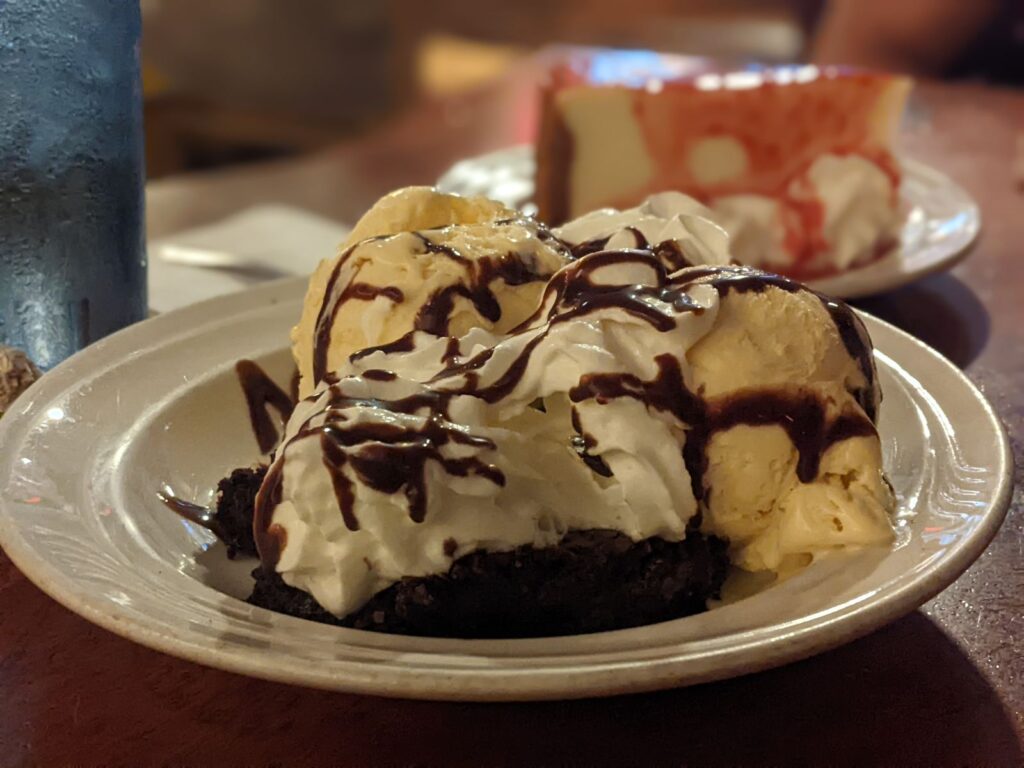
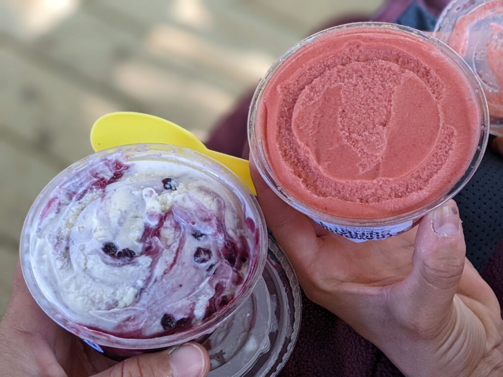
Kevin was already in the lot waiting for us when we arrived. Kevin was an older gentleman, with a raspy and abrupt voice that was also very kind. His t-shirt said “Best Dad Ever” and he offered us chilled bottles of root beer or orange soda when we got up to the car. We threw our trekking poles and backpacks into his trunk, although as always I kept my phone handy just in case. The drive to Bethel was nearly a half hour, during which time Kevin talked to us about running the motel with the love of his life Ruthie for thirty years, how he accidentally bought the one-room schoolhouse his sweetheart grew up in, and how he used to love skiing until his legs gave up on him. He drove us through town and pointed to all of the restaurants, and said that if we needed to go to the outfitter store to just let him know. “I don’t want you walking on that road, there’s no shoulder and it’s horrible.” When we parked outside the motel, he said “The next sound you hear will be our concierge.” As soon as he opened the motel door the yipping of a small dog screeched into the street, and we met the tiny bishon-mix Gabby. We checked into our room just before 11am, and the rest of the day was passed resting and taking care of some town business. We picked up our groceries for resupply, went to the Outfitter’s (graciously chauffered by Kevin) to pick up a few things including a spare hip belt buckle since mine had broken in the Mahoosuc Notch, and sorted through our gear. Since it was Sunday the post office was closed, but we planned on sending some of our winter gear home the next day to make our packs as light as possible. We walked to a nearby restaurant for dinner, and we passed a gelateria on the way…which we stopped into. I’m not sure whether the Maine blueberry swirl gelato or the strawberry rhubarb sorbet was better, but they were both amazing. At dinner we had vegetable burritos and I had a mug of hot chocolate, and we both split a piece of raspberry cheesecake and a brownie sundae for dessert. Not being able to eat like a Thru-Hiker after I get home is going to be difficult! We stayed up a little too late as we tend to do on Town Days, but eventually drifted to sleep in real beds.
Over the next week, we will be continuing to grind our way towards Katahdin. The weather forecast is looking grim with several days of rain ahead, but to quote our friend the Wise Jim that we met on the first week of the trail: “We’ve been wet before.” We enjoyed our day in town as we always do, but we’re also looking forward to getting back on the trail, as we always do. Onward!
Thank You, for both keeping us updated and laughing. I, enjoy your blog so much and wait for it each week. GOD BLESS, you both, stay safe, enjoy until next blog day.
Thank You, for both keeping us updated and laughing. I, enjoy your blog so much and wait for it each week. GOD BLESS, you both, stay safe, enjoy until next blog day.
Oh, I hope your socks and shoes have had time to dry out! Your poor knees… and Mimi, down to her waist 😬. What an adventure through NH. So glad you both weren’t hurt too badly. You are definitely being watched over, (divine providence). What a grand experience this has been… GA to ME… on the homestretch. I’ve been following others’ stories, as well, all inspiring and touching, on the Appalachian Trail 2023 site and the 48 in NH.
Onward!… soooo positive and dedicated. 💚
Godspeed ✌️
Great descriptions and you two are amazing to keep a good attitude with all of the challenges! Glad you weren’t hurt badly in the fall or in the bog hole.
I do love that scenery and your photos and descriptions are great! I remember Mehoosuc Notch and Speck Pond. The rocks and route thru Mehoosuc were so ridiculous that we cracked up. The ultimate “you’ve got to be kidding- the thesis goes THERE!!??
So excited that you are in Maine. Slow, careful and steady wins the race. And it’s so pretty there.
You two are “Rock Stars”. I’ve never tried rock scrambling like you are doing. Both Up and Down. And it sounds like Sideways too And I’ve never read any detailed descriptions of it before. It really sounds like hard work. Thanks for being careful and staying safe!
Thanks so much for the latest blog ! The wind and weather and terrain sound incredible. Beautiful photographs.. the rainbow is amazing .. So excited you are in Maine but Don’t want the weekly blogs to end !
You would make a good monkey climbing like that. Glad you are safe and enjoying the challenge. Love the pictures!!!!
I am so proud of you Heather! You are so so close now. Congrats on making it to Maine! Praying for your safety and savoring as you are closer and closer to the finish! Love you!!!!
Congratulations on making it to Maine! Your blogs are very interesting and your hiking seems so hard and challenging.
Almost there! All the best!
I have been reading these blogs and living vicariously thru you. You’re in Maine!!! This is so amazing.
Quite the adventure. Excellent photographs I must say!
I have been following your adventures since your first blog. I have coffee with my 93 year old mother in law at 7:00 AM and it is the highlight of her morning. Be safe and keep up the great work
So close!!! How amazing, Heather! I always get to the comments section and think gosh, I should have something clever or inspiring to say — but all I can come up with is that I’m so incredibly happy for and proud of you! (And still a wee bit jealous!)
Megan