Hey everyone! This week brought us the usual excitement and adventure, and unusually wonderful weather as we explored the last long section oft the Appalachian Trail south of Baxter State Park in Maine. Here’s what been going on!
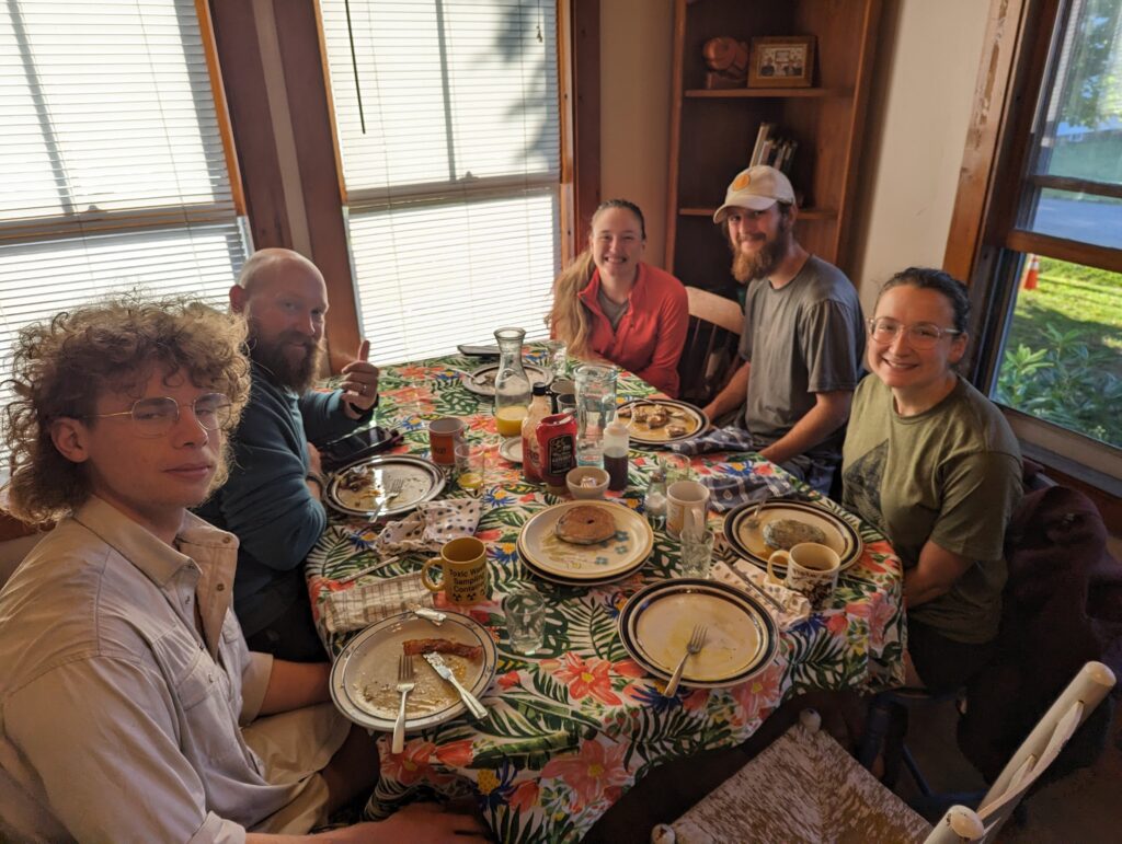
Day 162, Monday August 28: Breakfast at Shaw’s Hiker Hostel was served at 7am, and was something of a legend in the Thru-Hiker community. Many years ago, the breakfast used to be offered as a 2-by-2, a 3-by-3, or a 4-by-4: the number of eggs, sausage links, and pancakes you would recover. Now, each hiker is given an enormous plate of three eggs, three pieces of bacon, and some home-fried potatoes, plus an endless stream of all-you-can eat blueberry pancakes. The smell in the hostel was amazing when I woke up, and the breakfast itself was even better. We chatted with some of the other hikers as we ate and drank coffee, including a few section hikers as well as Thru-Hikers. I had three pancakes to make my breakfast an even 3-by-3. Afterwards Meadow, Nick and I spent the rest of the day working very hard at doing very little. This was going to be our last rest day on Trail, so we wanted to make the most of it! We sat around, ate more food, and wandered over to the lake to sit on the dock (it was less than a quarter mile away, so I figured the walking would be worth it). Meadow and I finished our last resupply and sorted through our food bags, carefully separating our food into two piles: what we would need for the first four days, and what we would need for after. We scheduled a “food drop” with Shaw’s hostel for Friday 9/1, in which Shaw’s would drive the food that we have to them into the Hundred Mile Wilderness and meet us at one of the few road crossings. Although the service is a bit pricey, it was totally worth it to avoid carrying eight days’ worth of food. Instead, we would carry four days of food and then meet up with the Shaw’s employee to pick up the rest of the food we needed for the rest of the journey. We packed our little 5-gallon bucket and said see-you-later to our food. Eventually we ate a dinner of pizza and a sub on the balcony of the bunkhouse, and went to sleep.
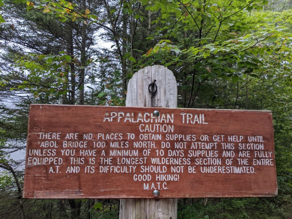
Day 163, Tuesday August 29: Although it was difficult to turn down the Shaw’s breakfast, Meadow and I had decided that the heavy grease was an unnecessary risk on a hiking day. Instead, we each ate a veggie-protein bar (mine was bad enough to put me off that particular brand for life) and a protein cookie and called it breakfast. We packed up our things, my backpack now smelling like fried bacon grease from sitting in the hostel for two days, and said goodbye to Shaw’s. Nick drove us back to the trailhead as a light drizzle fell through the thick fog. I said goodbye to Nick, and although it was difficult as ever I noted with particular relief that this would (probably) be the last time I would need to turn away from him to walk back into the woods on the Appalachian Trail. Shortly after reentering the woods, Meadow and I saw a sign with our own eyes that we had seen many times already in photographs: we were entering the Hundred Mile Wilderness that stretches from Monson to Baxter State Park! It was hard to believe that we were finally here, and we took a moment to appreciate how far we had come and what we were about to experience.
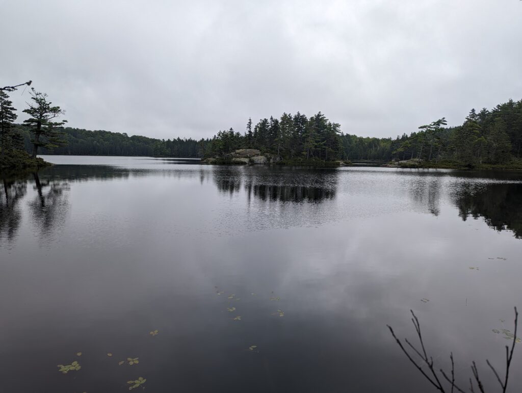
We hiked on through relatively flat but muddy terrain for hours and hours. The day felt much longer than it truly was, but in the afternoon the rain and fog faded to reveal a bit of blue sky. We passed several reedy ponds filled with the reflections of the grey sky.
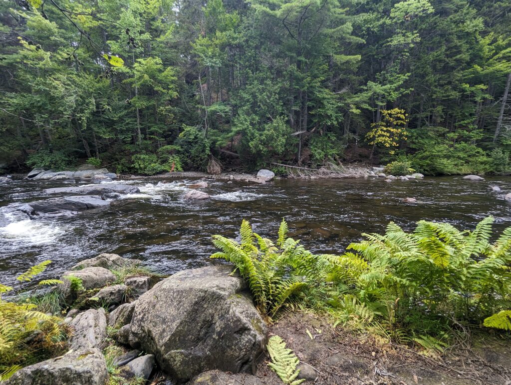
Late in the day we passed a “talus field,” a huge rock slide of enormous, angular and sharp boulders that had fallen from the cliffs above. Mercifully we simply had to travel across the base of the rock slide instead of climb up it, but based on some of the bafflingly-difficult sections of Trail I wouldn’t be surprised if the trail is rerouted in the future to include that particular horror! We forded several more streams throughout the day, giving up early on keeping dry feet and just blasting through the water with our hiking shoes and socks on. The crossing of Big Wilson Stream was particularly unnerving, as it was almost waist deep and the currents were moderately strong with rounded boulders lining the stream bed that were smooth enough to feel like ice. We made it across without incident and moved on.
We covered a total of about fifteen miles for the day, ending at the Long Pond Shelter around mile 2,098.8 which meant that we had less than one hundred miles left to complete on the AT. We reminisced about how we felt after we had just completed our first one hundred miles on the AT: how we felt so proud and how we still felt the weight of all the miles we had yet to cover. Now, I felt the same pride of how far we had ready come, and also the peace and freedom that we now felt from being comfortable in the woods and with our backpacking skills after over 150 days of consistent practice. We chatted in the shelter as the evening temperature dropped rapidly, and eventually Charmer and Gravity arrived to share the space with us. The days were getting noticeably shorter now, and it grew dark by 7:30pm as the air temperature dipped into the forties. Sleeping bag o’clock arrived early, and I was almost certainly asleep by 8pm.
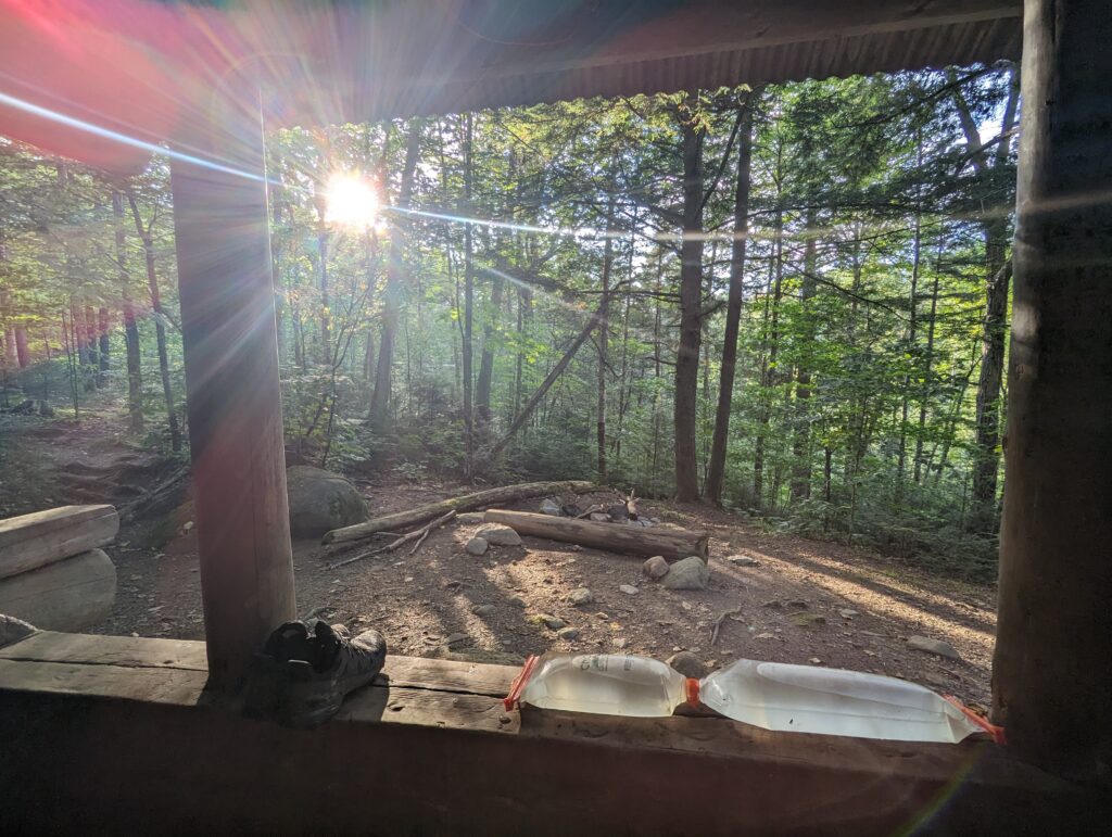
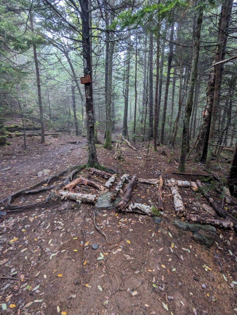
Day 164, Wednesday August 30: We had set a 5:15am alarm in an effort to beat the rain that we knew was coming late that afternoon. It was still completely dark and extremely cold when we woke up, and a light mist hung in the air. We packed up in the darkness, ate a rather depressing breakfast of cold-soaked oatmeal, and were hiking by 6:15am. Our first task of the day was to climb Barren Mountain, which was a several-mile ascent over rocky and damp terrain. The previous day’s rain bolstered the mud pits that we hopped over and through, and the miles seemed to pass relatively slowly as we picked our way through. Early in the morning we hit the final hundred-mile marker in the form of a “2100” in large birch branches. I couldn’t believe that we had fewer than one hundred miles to go. Time had been both stretched and compressed over the last five months, each day feeling like a week but the entire span going by in the blink of an eye. The fear and doubt of wondering whether we would finish had evaporated, and at this point we were close enough to the end of the journey to begin to taste it.
After a few hours of hiking through the morning, we came to a particularly wide swath of mud with a long pine tree trunk partially buried in it as a precarious balance beam. Meadow went around the side of the mud pit, but I decided to try walking down the center on the pine branch. I made it about halfway across before the intense tread on my trail running shoe caught on a rough knot in the pine trunk and I tripped. I twisted sideways as I fell, my backpack hitting the mud on the left side of the tree I slipped on and my feet sinking deep into the mud on the right. In what felt like a fluid motion (but I’m sure it was anything but!) I leaned forward once I hit the mud in an attempt to keep my pack out of the mire. Once I finally came to a stop, my left arm was buried in the mud up to my elbow, and both my legs were calf-deep in mud. After realizing that most of limbs were suctioned into the mire, for a moment I sat in the mud and thought, “I’m not sure what to do here!” Then I leaned forward and yanked my arms free, and heaved myself to a sta.domg position to balance once again on the offending tree branch. I was soaked and muddy from the waist down, and both my feet were encased in enormous balls of thick, black mud. Nothing was broken and Meadow confirmed that my pack cover had prevented my pack from getting muddy, which was good enough for me; I laughed as I stomped my feet to “knock the heavy stuff off” and we rolled up the foggy and cloudy trail. A tiny Sunbeam pierced the clouds to remind us that it was still sunny somewhere.
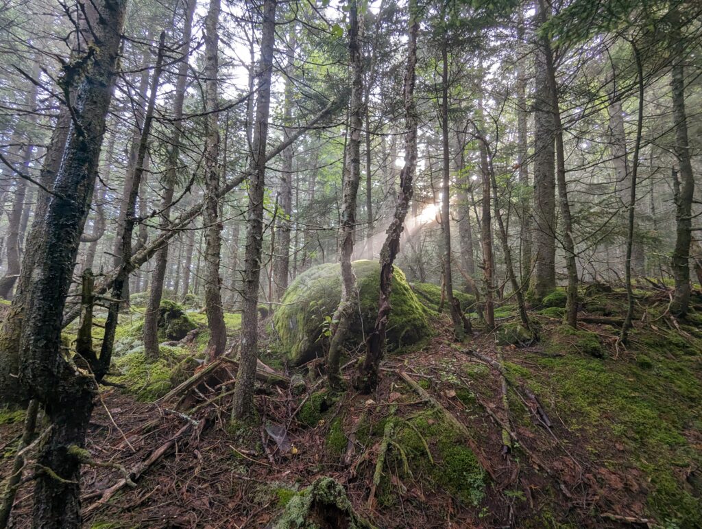
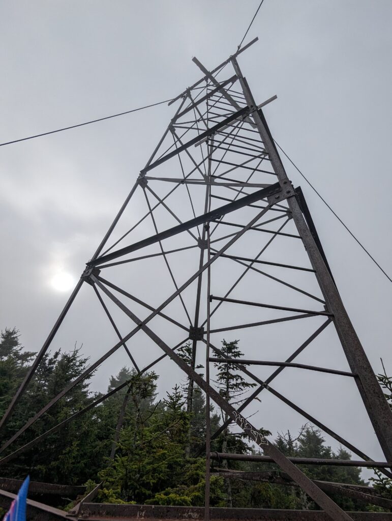
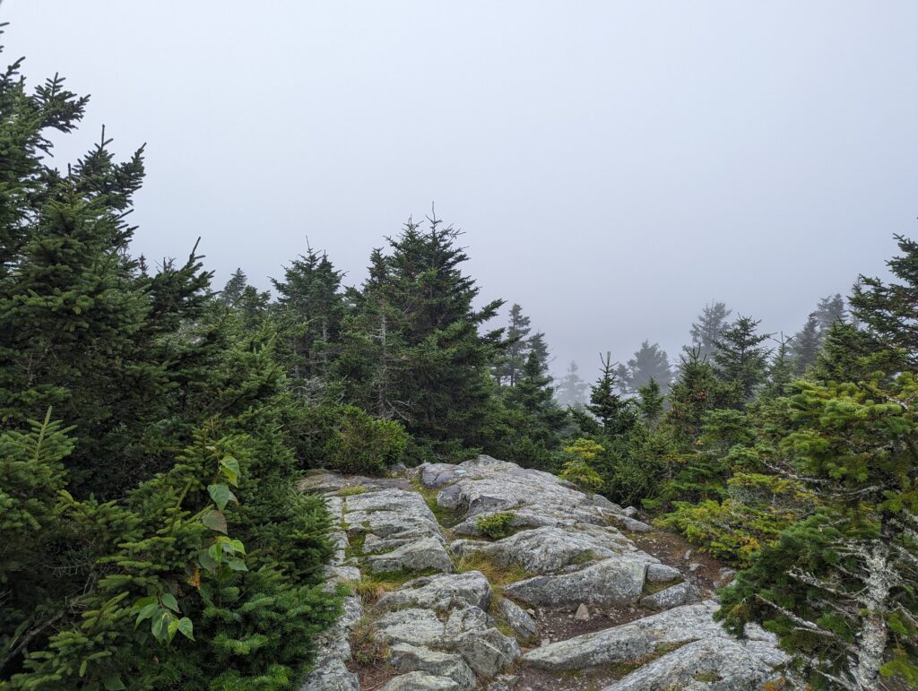
After a few short miles we hit the summit of Barren Mountain, which was buried deep in thick fog. The remnants of an old forest tower still stood on the mountaintop, and although a thin ladder remained there was nowhere to climb to since the hut on top had been removed. We stopped for a brief break on the summit, although the dampness and cold quickly became unbearable so we pushed on.
A few miles after leaving the summit, we came across a sight that made both Meadow and I gasp: the wreckage of a small passenger plane. We had heard from Wendy at the Appalachian Trail Conservancy in Monson that the trail was re-routed last year to pass directly by the crash site, and she had filled us in on the circumstances of the crash. A father and his teenage son were flying some winter gear and supplies up to Canada to a remote hunting camp when a snow squall overlook the plan and they crashed into the Chairback mountain ridge. Miraculously, both men survived the crash, the son wrapping his head in his sleeping bag for cushioning, and since they were transporting winter gear they had all the supplies they needed to survive the freezing winter weather as well. Wendy had said “Since nobody died in the crash, you can feel free to enjoy looking at it.” I’m glad they survived unharmed and glad Wendy told us they had lived. Even so, looking at the mangled plane was disturbing enough. There was twisted fiberglass and shreds of canvas scattered around the ground, and the plane’s small frame was smashed around a large tree that had been pushed over possibly in the crash. I’m not expert of small, manned aircraft, but it appeared that a large piece of the front propeller was lying against the rear of the plane. The thought of two people crawling out of the plane after it went down was chilling, and I questioned whether rerouting the AT just to pass by the site was really necessary.
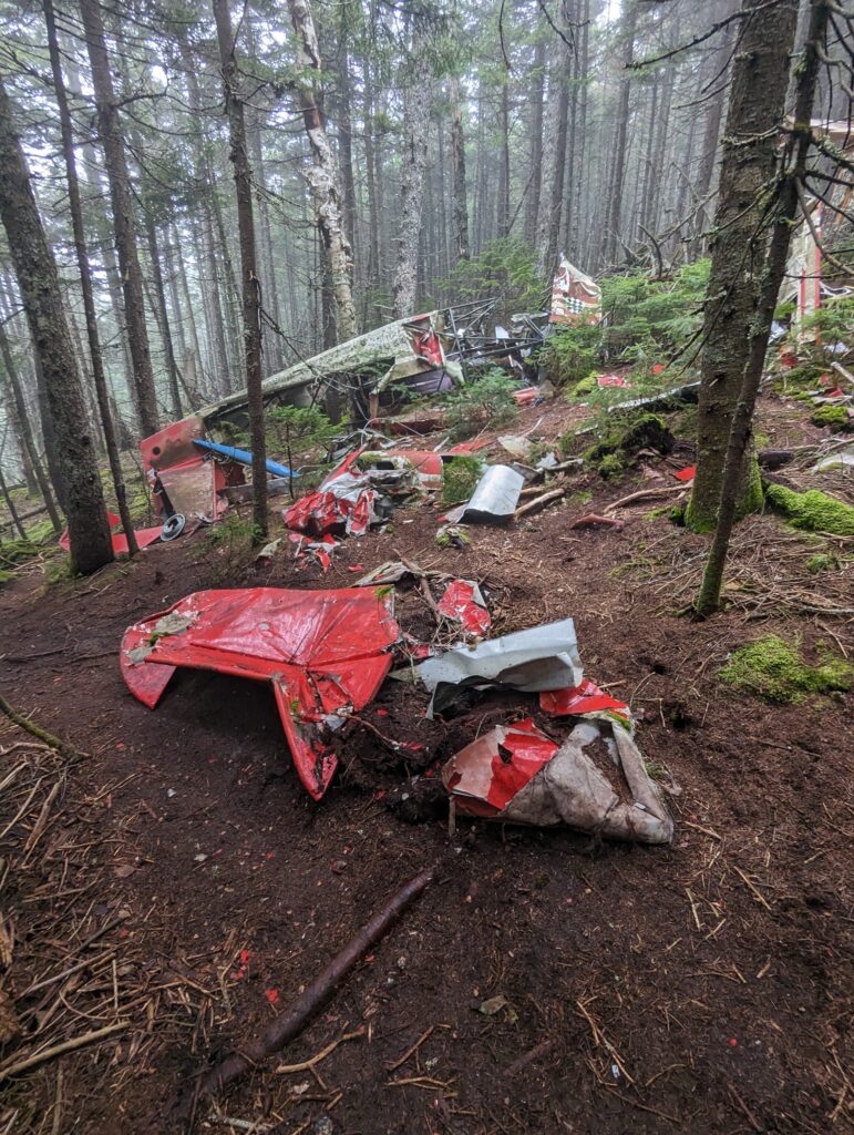
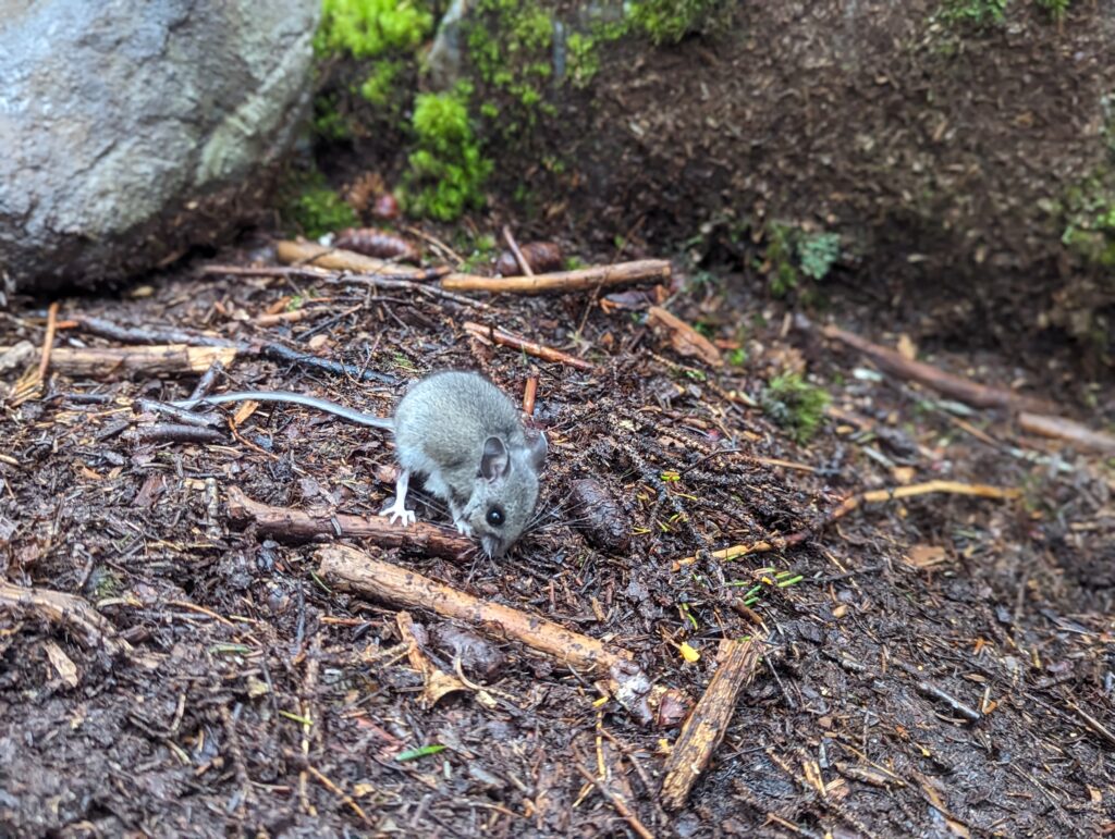
We left the crash site quietly, and within a few hundred feet we came across a group of other hikers coming toward us on the trail. We received a few of the common questions (“Are you guys sisters? Are you hiking the whole thing?”), and they told us they were section-hiking the Hundred-Mile Wilderness. They asked us how we were doing on the trail, and congratulated us on being so close to the end. I started to say “Yep, we’re landing the plane!”, a phrase that I’ve been saying for years to state colorfully that I was almost done with something. Given the horrifying scene we had just witnessed, I realized my verbal faux pas just in time and pivoted, instead saying “Yep, we’re landing the…we’re doing good.” Real smooth. We warned the group of hikers what they were about to see on the trail, and continued our way through the Chairback mountains. We summited a few small peaks throughout the afternoon, occasionally seeing a small patch of sunshine on a neighboring ridge before it was devoured by the hungry clouds. During one of our afternoon snack breaks, a tiny grey white-footed mouse wedges from a hole in the ground and scampered almost under our feet to look for the processed, orange cracker crumbs we may have dropped. I was surprised that the mouse seed to have no fear of us, and at one point I raised my arm over it to see if it would react: it paused for a moment as of to say “Are you done?” and went back to sniffing around for crumbs. It was tempting to break off a piece of my peanut butter cracker and offer it to the mouse (I didn’t really want it anyway!), but I doubted that the orange squares should actually be considered food to the tiny animal and we just watched it for a few minutes. Even when we stood up to leave, the unflappable mouse continued its search for crumbs and we left it behind.
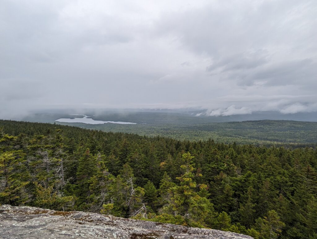
We summitted Third Chairback Mountain just as the clouds lifted for just long enough to allow us a view of the surrounding area. I large pond far below us reflected the endless sea of grey, and I heard a few trilling loon calls. I marveled at how well I could hear them considering how far away the pond was, partially from the water’s amplification and also because those birds are LOUD. We took our final break for the day around 4pm, just before the rain started. The forecast for the next week was looking beautifully sunny, the best stretch of good weather that Maine has seen since last year. However, we had also seen a cold rain in the forecast for this afternoon. I had hoped we would be able to set up camp before it started, but the day’s hike had taken longer than we expected. When the rain started in earnest, we put our pack covers on and forged ahead. “Savor it, Victory!” Meadow called from up ahead as we walked through sheets of cold rain. “This might be our last rainstorm on the AT.” We had no way of knowing whether this was true, but we did know that hiking the AT was worth it no matter the weather. The rainstorm passed in less than half an hour, and I wasn’t even completely soaked. We made it to a small stealth campsite and set up camp after a fifteen-mile hiking day. We crossed a shallow creek to set up our tent on its opposite shore, finding a flat patch of ground with a few suspicious-looking mushrooms in the middle of it. We did our camp chores, Meadow hanging the bear rope while I filtered water, and I rinsed out my socks in the creek to get rid of some of the clumps of mud that were deposited after my fall early in the day. My clothes were already dry by the time we went to sleep.
Day 165, Thursday August 31: The previous day’s rainstorm left a cold front in its wake, and we woke up to a clear and sunny but frigid morning. We packed up camp while I wore both of my coats, and we saved our soaking socks and shoes for last. The temperature overnight had dropped to the forties, and therefore our shoes and socks were also in the forties. As we crossed the creek to get back to the Trail, the water actually felt warmer than the air. We hiked less than a mile to our first stream crossing for the day, and since our feet were already saturated we forded the knee-deep rover in our hiking shoes. The sun was shining in the river valley to the west, and we stopped in the middle of the stream to admire the view until our numb feet began to protest. Once we crossed the river we were in the Gulf Hagas Natural Landmark area, designated as a protected forest in Maine due to the presence of a few stands of old-growth white pine trees that were over a hundred feet tall. The forest understory was clear of smaller trees and shrubs, and the pine needle carpet seed to go on forever. We took a short side trail through the Gulf Hagas protected area to Screw Auger Falls, a twenty-foot waterfall coursing through a tall rocky gorge. We had heard that the rounded pool at the base of Screw Auger Falls was an amazing swimming hole, bit the thought of taking a dip when it was below fifty degrees out didn’t seem too appealing. We ditched our packs, propping them up against a bank and some trees to make sure they would t roll down the hill into the water, and climbed down a short, craggy cliffs for a better view before climbing back up and returning to the trail.
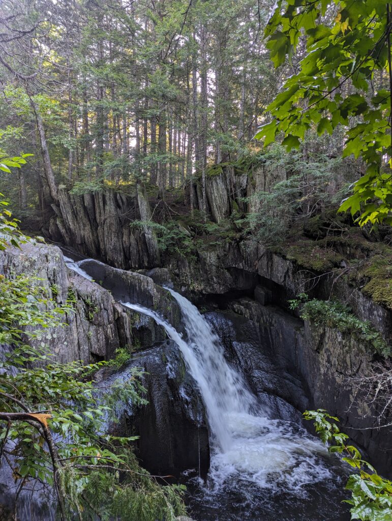
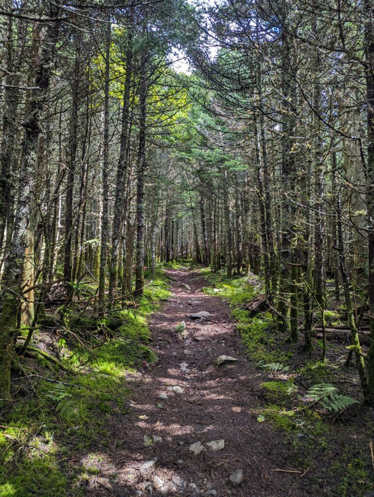
We hiked on for miles, quickly leaving the short Gulf Hagas Landmark and climbing Gulf Hagas Peak. After creating this small, tree-covered summit there were three other peaks to climb on a long ridgeline: West Peak, Hay Mountain, and White Cap. The distance between each peak was small, less than a mile, and the terrain was as forgiving as we could possibly imagine. We passed over rooty and rocky paths through the dense forests for hours, a frigid wind cutting through the trees and requiring us to keep our coats on despite the sun shining overhead. The sky was a deep, azure blue that signified that we were late in the summer, and I remembered that it was already the last day of August.
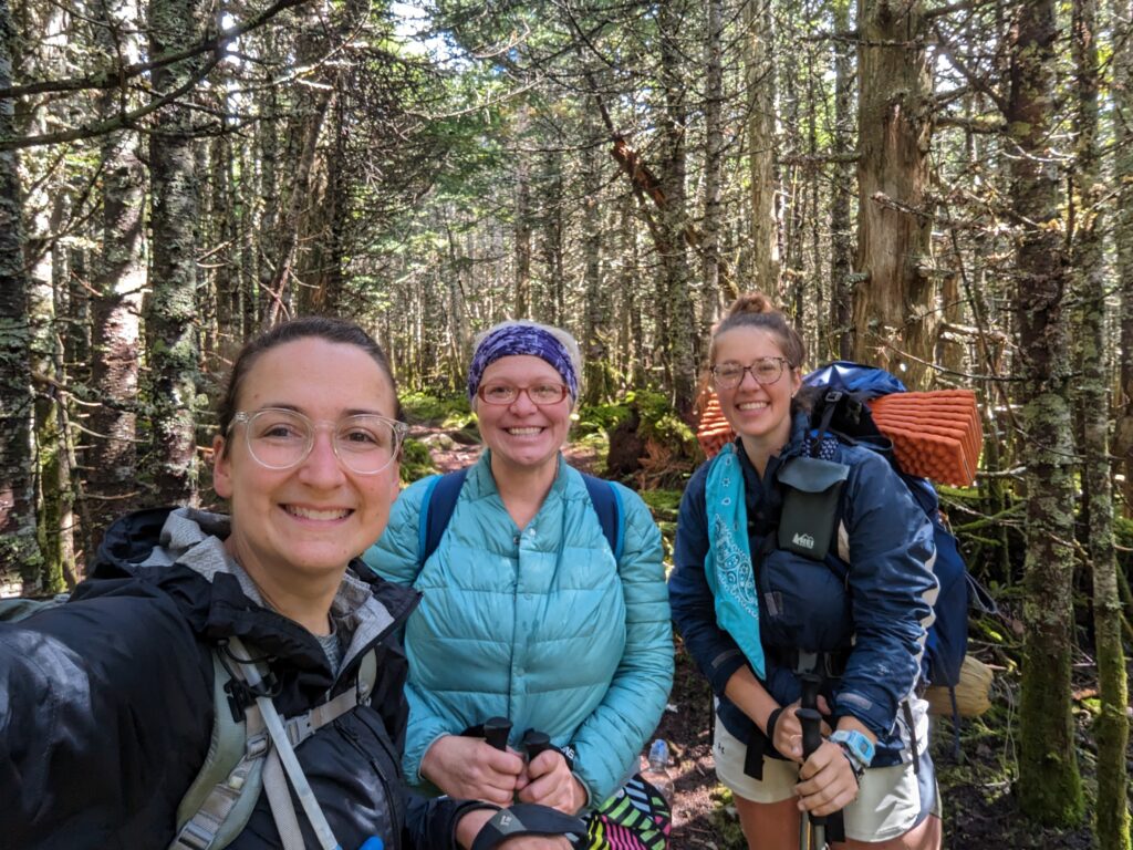
Early in the afternoon we met a hiker coming toward us on the trail. She wore a light blue puffy coat and rather large rainbow shorts, and I instantly recognized her face. “Greeter?!” I asked as she got close. She at first didn’t recognize us, but after Meadow explained that we had met her in Shenandoah National Park and she had given us some tips on some not-to-miss points of interest along the northern AT, she remembered us. It was because of our talk with Greeter in Shenandoah that we knew about the shelter with the view of the NYC skyline! We chatted with Greeter for a few minutes about our trail experience and which sections she had left to do herself–she was within 300 miles of completing her section hike, and we were all so happy for one another. “I’m so proud of you ladies. Enjoy the next few days and finish strong!” We said goodbye and parted ways, Greeter speeding southbound along the trail with her signature pace that was significantly faster than our own.
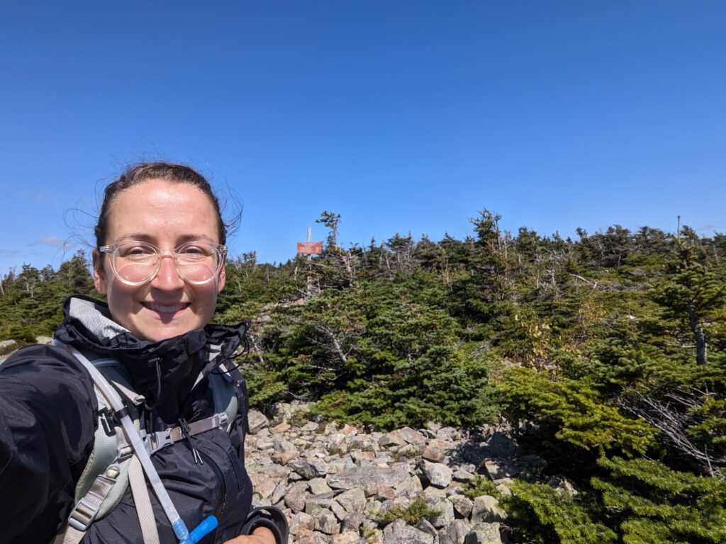
We continued along the ridgeline until we could see the White Cap summit. While the previous three peaks on the ridge had been covered with trees (and were therefore barely recognizable as peaks), the White Cap summit was rocky and exposed. For the first time in several days we were able to pick up a few shreds of cell service, so we sat on the sharp rocks at the summit for a few minutes to catch up on technology. As directed, I also texted one of the Shaw’s employees to confirm our food drop time for the next day at 3pm. The wind was still rushing over the summit, but the sun felt warm on my dark raincoat and I delighted in the clear sky. When we had completed the tasks we needed and were getting cold from the wind, we moved on.

I had read on our mapping app that we may be able to see Katahdin from the northern side of White Cap, so I kept my eyes up off the trail more than I should have as we crossed the summit and passed around to the northern side of the mountain. The last time we had seen Katahdin it was barely distinguishable from the blue sky above it, so I wondered how much closer it would appear this time. As we walked around the summit, all of the faint peaks in the distance looked the same. I muttered out loud to myself, “How will I know which one is Katah–.” I stopped short as I saw it. It wasn’t just a washed-out blue blob anymore, Mount Katahdin stood proudly before us and was more real than ever. We both stared with open mouths for a few seconds before quietly dissolving into tears (“Weird, there must be an onion patch nearby!”). For the first time, we could see not only Mount Katahdin but the ground we had to cover to get there. I thought of everything we had been through, the good and the difficult, and was overwhelmed with pride and gratitude. We had worked extremely hard to get to this point, and at that moment I couldn’t think of a better reward than a clear view of where we were headed next. I noticed that the terrain between White Cap Mountain and Katahdin was flat, almost pathetically so, and I looked forward to the absence of climbing until the end. We celebrated and stared at Katahdin for many minutes before continuing down the mountain.
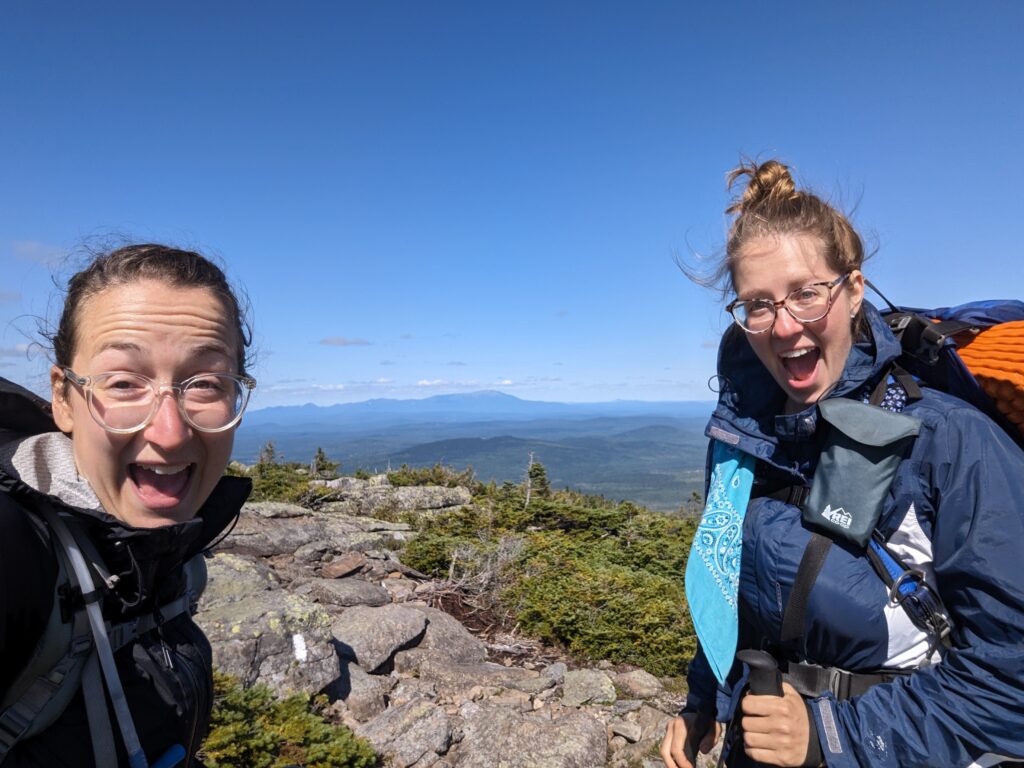
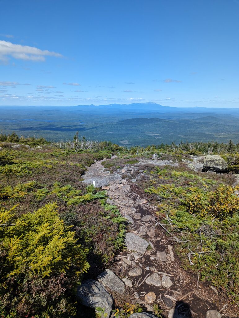
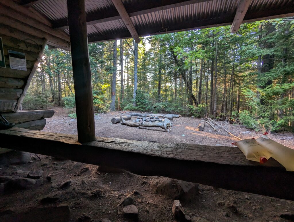
We hiked another few hours in a transparent fog of expectant hope and joy. The descent from White Cap was not overly steep or rocky, and we settled into the lowlands to cross the long flat section near the end of the Trail. We reached the East Branch Lean-To shelter in the early evening, before 5pm, after covering a total distance of 15 miles. The temperature dropped rapidly through the evening, and we ended up wearing all of our clothes to stay warm as we did our camp chores (Bearhang in three!) and cooked dinner. Charmer and Gravity arrived at the shelter as it was getting dark just after 7pm. Sleeping bag o’clock came very early as we tried to stave off the cold. My sleeping kit was perfectly suited to colder weather, and I preferred the cold air to sleep in anyway. We were all asleep before 8pm.
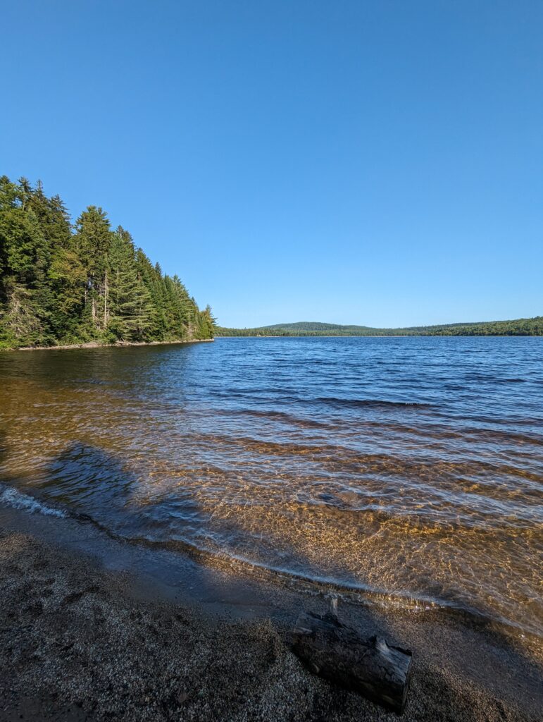
Day 166, Friday September 1: While I prefer to sleep in cold weather, having to get out of the sleeping bag when it’s forty degrees is not my favorite thing to do. We woke up at 5:15am and packed up our things in the dark, once again cold-soaking oatmeal for breakfast and hitting the trail after it was light enough to see. The sky was completely clear, and there were no clouds for the wind to push around. The deciduous forests we walked through were beginning to drop their leaves, the red and yellow leaves standing out sharply against the deep brown of the mid We walked over. We hiked a few short miles to Crawford Pond, and took a very short side trail to stand on its shore around 9am. Although a cold wind still blew and the sun still had its warming work cut out for it, we decided to take a quick swim in the pond. The water was cold, but we quickly realized that the wind above the surface was colder than the water. However, after a few days without a shower it was extremely refreshing and we had no regrets! After leaving the eastern shore of Crawford Pond, the AT followed its edge until we crossed the outlet stream.
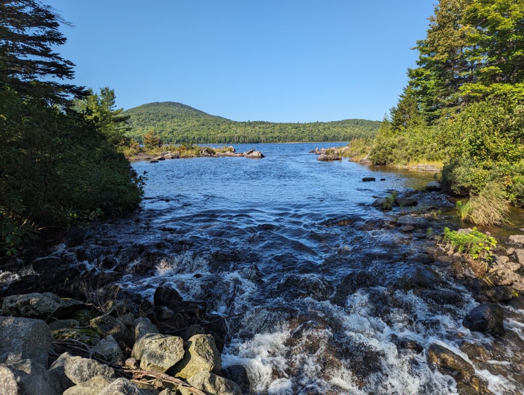
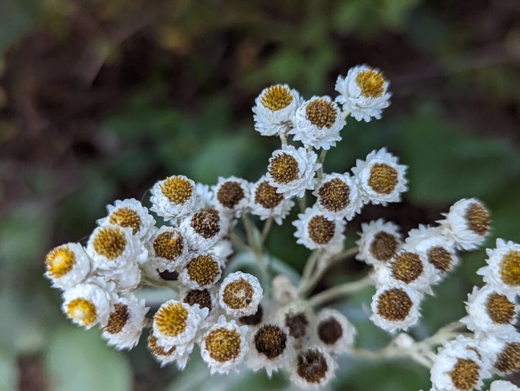
After leaving the pond behind, we had just over seven miles to cover before reaching the crossing of Jo-Mary Road where we would meet the Shaw’s employee who would be bringing our food drop. The miles passed relatively slowly despite the flat terrain; we both felt exceptionally tired. As the afternoon wore on, I felt that I could have fallen asleep while walking. The dappled sun played across the forest floor and the morning air warmed considerably as we hiked on.
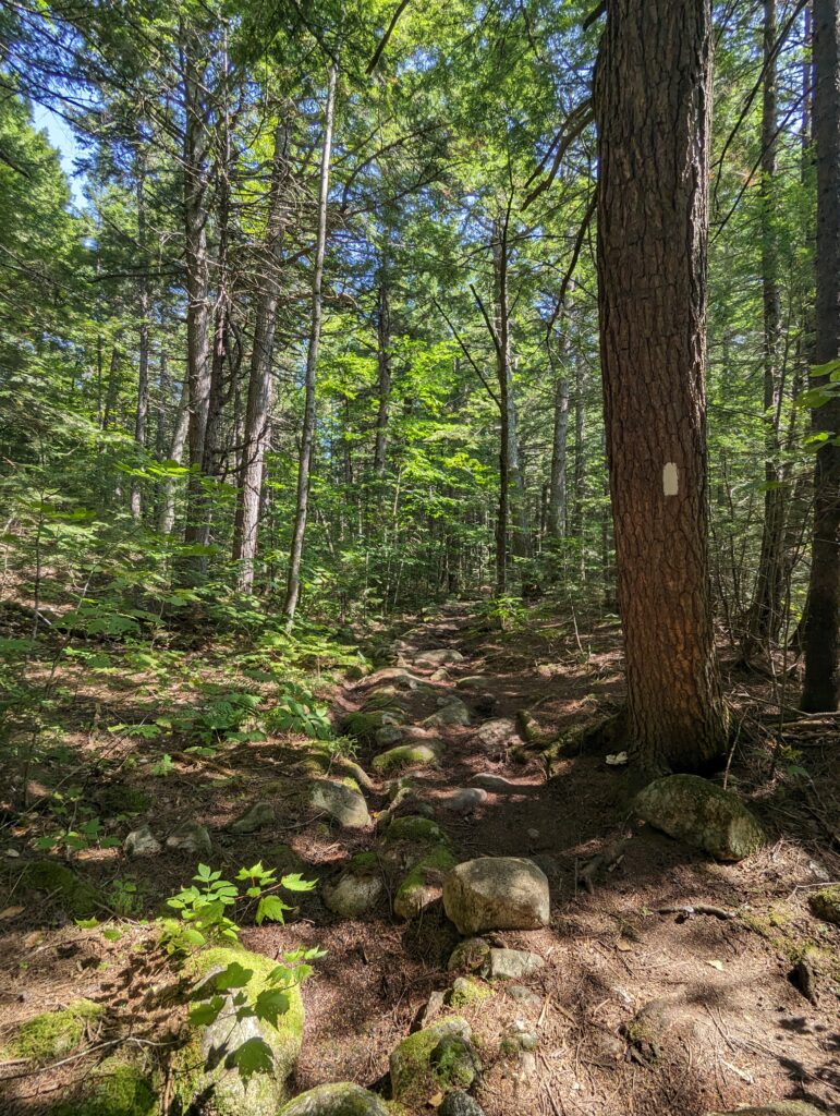
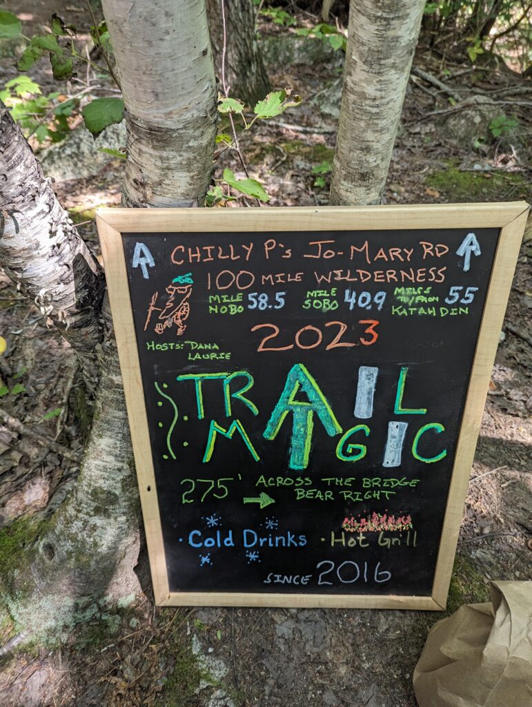
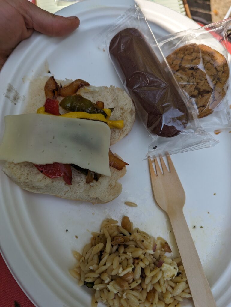
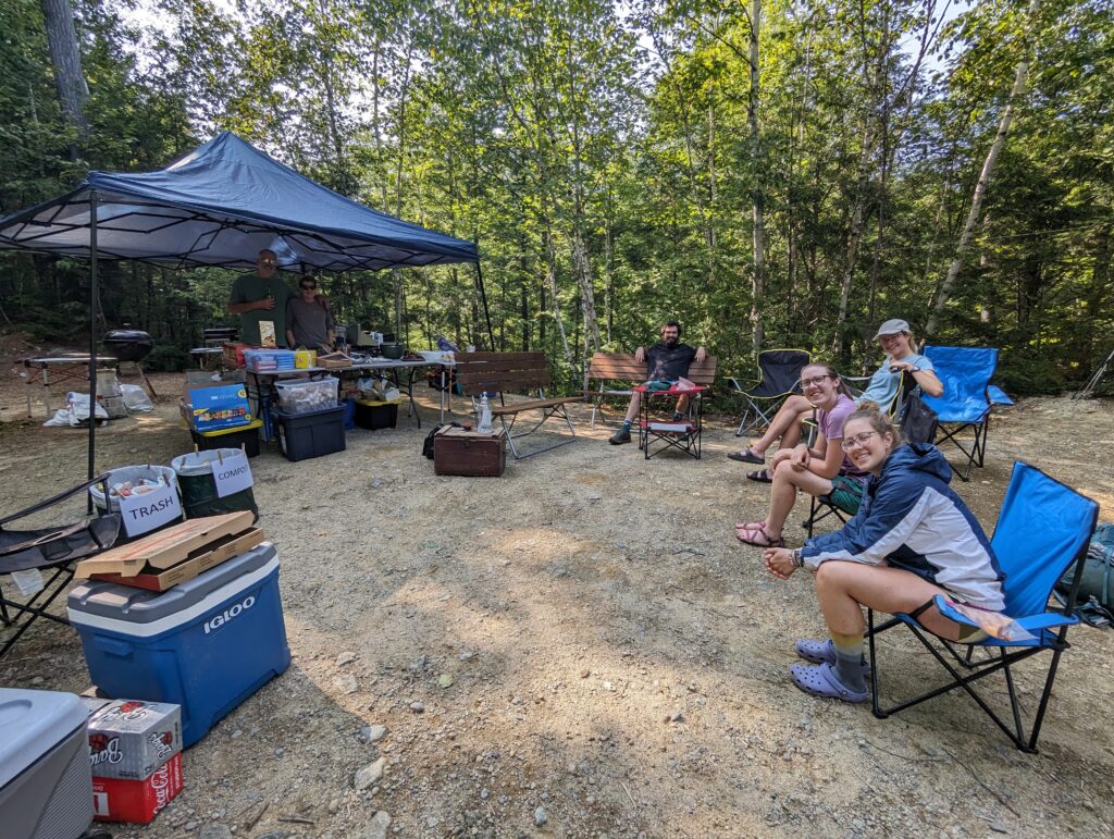
Around 12:30pm, we stumbled out of the intoxicating woods and found ourselves on Jo-Mary Road. Our food drop wasn’t scheduled to occur until 3pm, but if there’s anything a Thru-Hiker doesn’t mind, it’s an excuse to wait for something (as long as there’s a place to sit!). We crossed the road and prepared to drop our packs and stretch out on the side of the road. We saw a sign for Trail Magic up the road, pointing us to a nearby parking lot and proving once and for all that you are never as remote as you think you are. As we picked up our packs again to head over to the parking lot, a beat-up red truck came to a stop near us, and the window rolled down to reveal a kind-looking man in his seventies (I guessed). “Hello there! I drove this road every day to check for hikers. People always say they are craving vegetables, would you each like a home-grown cucumber and a carrot?” He pulled a produce bag out for a cooler in his passenger seat, and held out the fresh veggies. He laughed at our eagerness and appreciation, and said he might see us again once we got to Baxter State Park on the other side of the Wilderness. “I drove over there every day, too!” He smiled and waved before pulling away, and Meadow and I stowed our vegetable treasures into our packs. We headed up the road to find a huge Trail Magic Station, decked out with pop-up benches, a huge tent, two grills, tons of coolers, trash cans, and a huge battery charger. Chilly P (short for Chilly Pepperoni) and his wife Lori has been setting up Trail Magic at that parking lot every Labor Day weekend since 2016, and they definitely knew what they were doing! There were cold drinks, a huge tub of Little Debbie snacks, grilled kielbasa and corn, fresh pasta salad, plenty of fruit, and other snacks. Chilly P said that he pays for the trail magic setup every year by turning in the five-cent Maine cans for recycling, usually making $1,500 to $1,700 each year by collecting cans from his work and walking the roads. I asked him what brings him to the trail, and he said “I always wanted to hike the trail, but life always seemed to get in the way. Looking back there were a few times that I could have and should have done it, and now I’m not sure I’ll ever get another chance. So I come out here every year and feed hikers on labor day instead.” The pasta salad was delicious, as was everything else. We spent some time chatting with two other hikers who were there, a father-son duo named Monk and Chicken Leg. Monk has been section-hiking the AT over the last 35 years, and his son had joined him to complete the last section: the Hundred-Mile Wilderness and Katahdin. Monk said that he would be summitting Katahdin on his 66th birthday, and I could tell he was deeply looking forward to it. We congratulated him on his amazing journey, and Meadow said that in many ways section-hiking seemed harder than Thru-Hiking. Monk’s quiet response was surprising. “I’ve spent the last 36 years doing sections of the AT, so I have seen so many things change. When I started we hiked in jeans and t-shirts, we didn’t have any technical gear and everything was heavy. I’ve spent so much time learning about each section of the trail, planning out the routes and emergency backup routes, the flora and fauna of each section. You guys spent part of one year digging deep on the trail, but I have a lifetime of memories. Plus it gives me incentive to stay in shape, because I always knew I wanted to keep up with my sections every year. Section hiking is really the way to go, in my opinion,” he finished with a chuckle. His lifelong relationship with the AT was beautiful, and I was all the more excited for his triumphant finish on top of Katahdin in a few days. Eventually Charmer and Gravity arrived at the trail magic station, and we chatted with our new friends. Around 2:30pm, our food drop arrived and they had also brought a vegan vegetable pizza from a local shop in Millinocket. The pizza badly needed some cheese, but I was happy to have actual broccoli for the first time in several months. Meadow and I each packed out two pieces via a Ziploc bag from Chilly P, and Gravity and Charmer devoured the rest. Eventually it was time to leave the trail magic, and we said goodbye to our new friends.
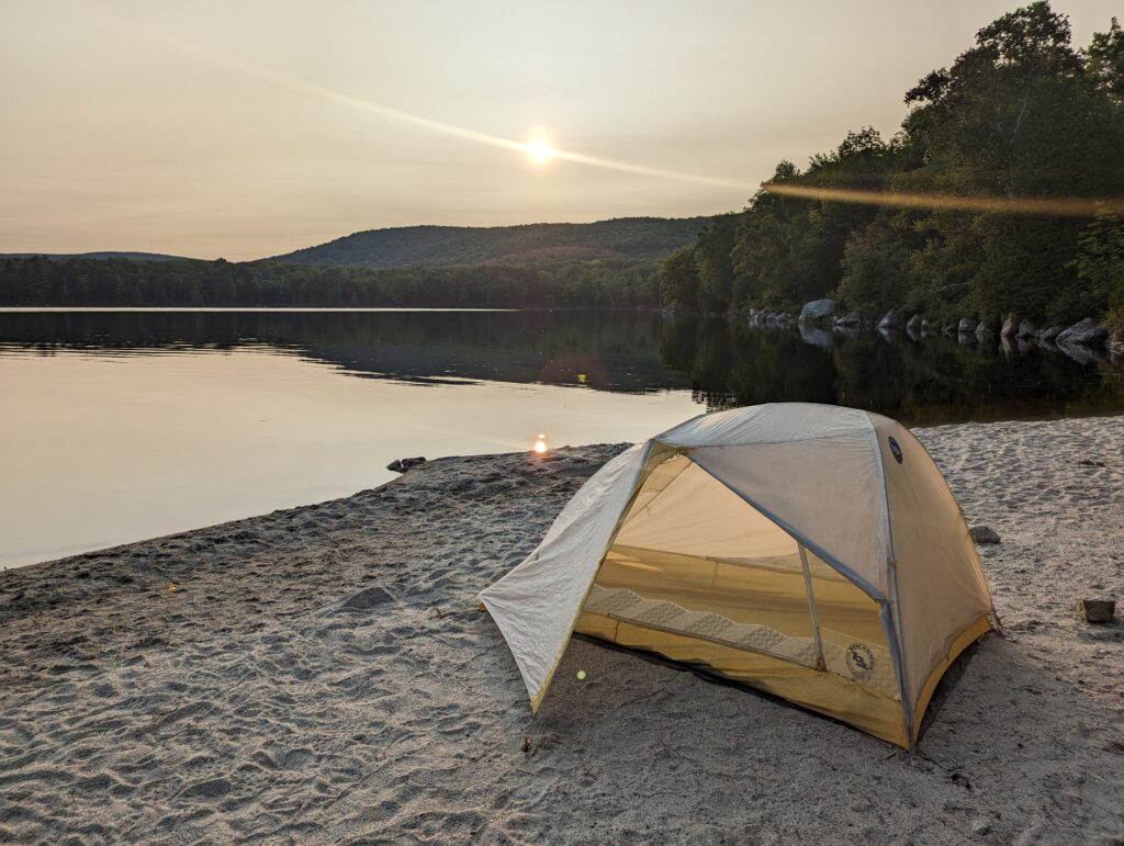
After leaving Jo-Mary Road, we had another six miles to hike before we reached our goal for the day: a small sand beach on the shores of Lower Jo-Mary Pond. The afternoon wore on, and we were exhausted after a 17.8-mile day. We stopped late in the afternoon to apply copious amount of DEET bug spray. We reached the beach after 6pm as the sun was sinking on the sky, and we set up the tent about six feet from the water’s edge. Meadow hung the bear rope in the trees just behind the beach while I filtered water, and we ate the pizza that we had packed out. Although it was much water than the previous night, sleeping bag o’clock still came early and we were asleep by 8pm.
Day 167, Saturday September 2: The tent fly collected a thick layer of moisture from the most that rolled across the pond overnight. We packed up our things before the sun rose, and I used my. Camp towel to squeegee as much of the water off the fly as I could before we packed up the tent. We ate a few packets of cold-soaked Quaker protein oatmeal (which was gross) since we had run out of the oatmeal that I prepared in advance. We balanced the breakfast with the carrots that the kind stranger had given to us the previous day. We hit the trail just after 6am, saying goodbye to Lower Jo-Mary Pond.
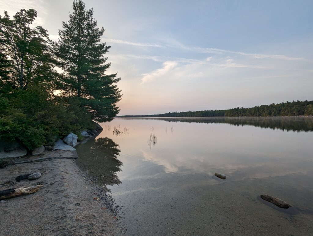
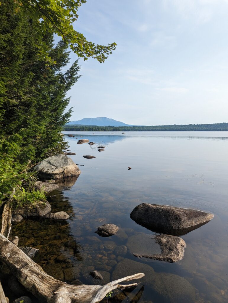
Just over two miles into the day’s hike, we reached Pemadumcook Lake. A small, inconspicuous sign informed us that we would have a view of Katahdin from its shore. We took a slight detour off the AT, and we’re not disappointed. We saw Katahdin more closely than ever, a magnificent backdrop to the glass-smooth lake. I was able to pick up some cell service from the rock we stood on, so we ended up taking a longer break with an early Second Breakfast to admire the view and take care of some administrative tasks. We stayed on the warm rock until almost 9am, after only covering a few miles for the day. We eventually tore ourselves away, reentering the forest that was at least ten degrees colder than the sunlit, rocky shore of Pemadumcook Lake.
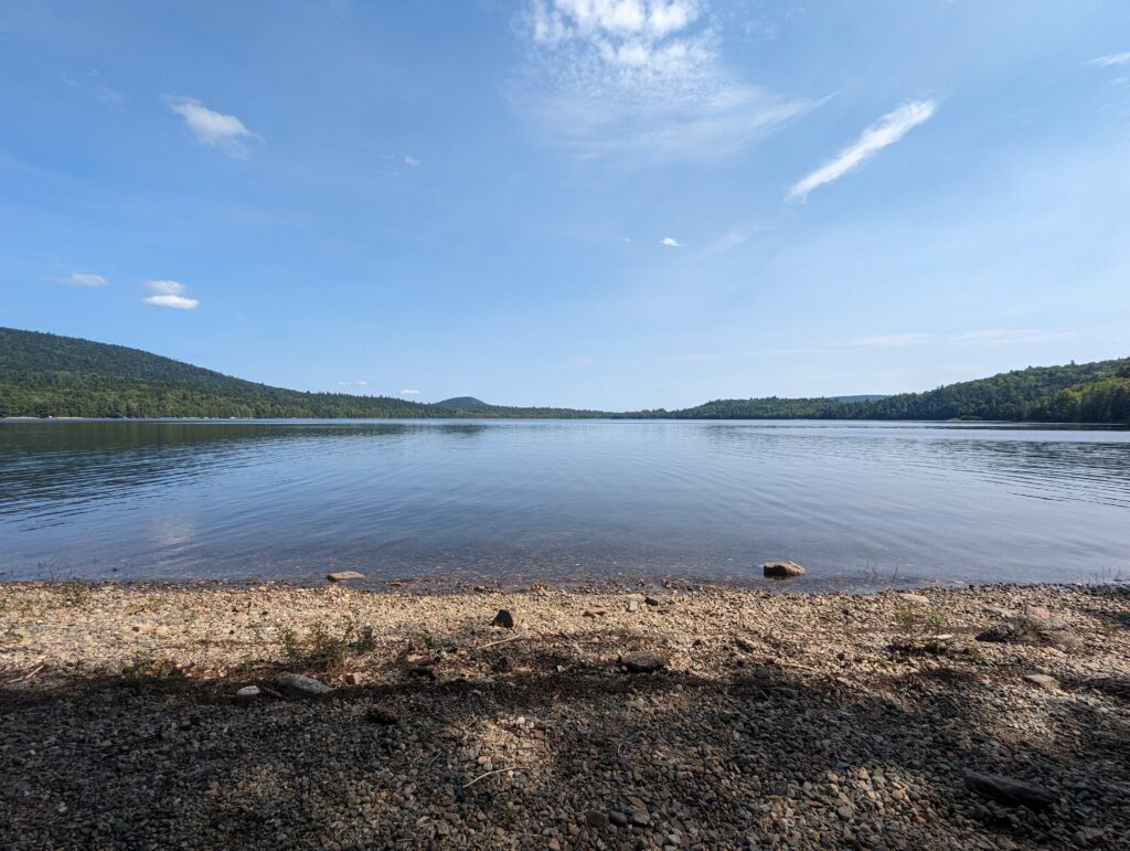
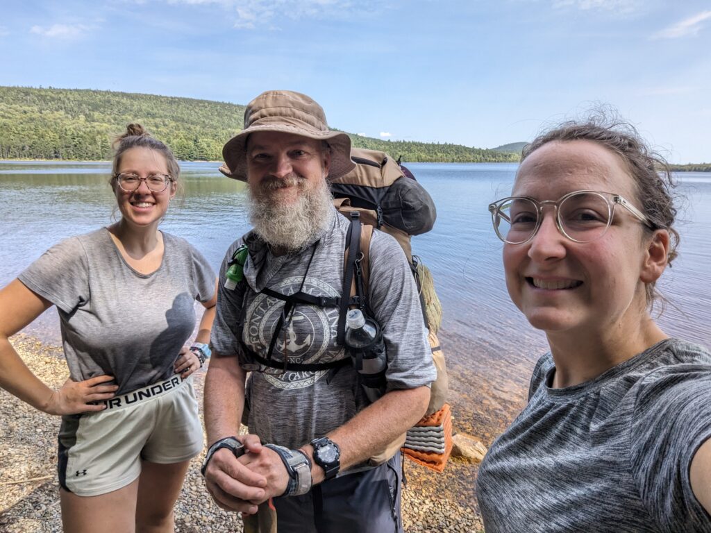
We hiked on. The morning haze faded and we were treated to yet another bright blue sky that reminded me of Autumn. We spent the remainder of the morning hiking along the Nahmakanta River for many miles. We listened to the rush of the water as we hiked, the AT following the serpentine course of the river close to its banks. Eventually we reached Lake Nahmakanta, and the trail followed along the edge of the lake. On the far side of the lake, we stopped for a break on the gravel beach. We sat on the gravel and took our shoes and socks off, listening to the water lapping on the beach and the warm wind nudging the tree branches that gave us some shade. I leaned backwards to lay on the ground just for a short time; the natural stones were rounded but loosely packed, and although it wasn’t the most comfortable gravel around I quickly realized that I would fall asleep if left unsupervised. Oh well…just as I was starting to drift off, I heard the gravelly footsteps of another hiker coming south kind toward us. I sat up and greeted the hiker, noticing that he looked familiar but I couldn’t place him right away. “Hi there!” he said as he passed us on the beach. He paused and turned towards us. “What are your trail names? I know you guys!” It was Sharp Iron! We had last seen him in Georgia at Hostel Around the Bend, where we had all laughed about the ridiculous owls we heard overnight at the Cheese Factory campsite. “Do you remember those crazy owls?!” and we laughed again. Sharp Iron had completed the southern part of the AT up through Mount Greylock in Massachusetts when he realized that he was not going to finish the whole AT headed northbound before Mount Katahdin was closed due to bad weather. So, he decided to jump up to Katahdin and finish the rest of the trail southbound, turning his NOBO hike into a flip-flop hike. I had thought about Sharp Iron often over the last 2,000 miles, always remembering his quiet appreciation for being able to hike the trail and his reflections on leaving his hectic world behind. I couldn’t believe we had the chance to see him again near the end of our journey, and I asked if we could get a picture with him. He saw himself in the screen of my phone, and laughed: “I guess my beard really IS kind of Santa-Clausy!” Sharp Iron said goodbye to us, this time almost certainly for good, and he continued his journey southbound. Meadow and I realized we had already stayed at the lake for longer than we had intended, and we packed up our things to continue northbound.
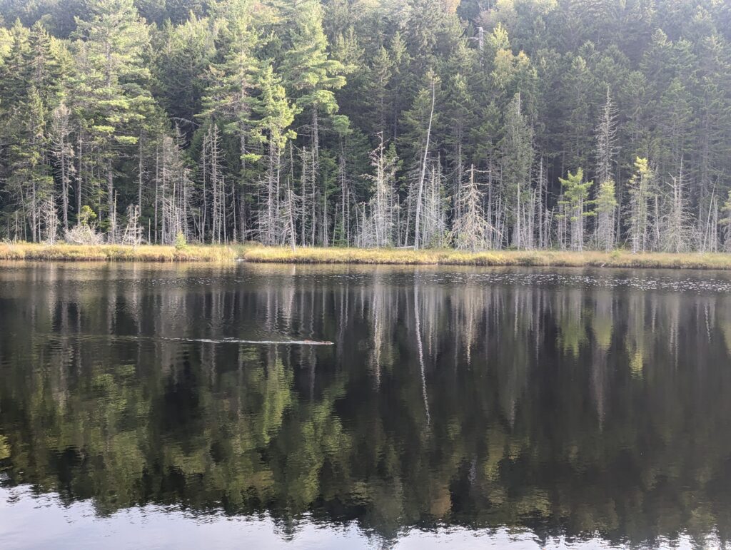
We continued around the circumference of Lake Nahmakanta for a short while before the Trail veered off to ascend Nesuntabunt Mountain (which we very cleverly began referring to as Mrs. Nesbitt’s Bundt Cake Mountain). Although the climb was only several hundred feet in elevation gain, the afternoon heat made it feel as if we were climbing for miles. We were rewarded with another glimpse of Katahdin at the summit of the Bundt Cake Mountain, and we decided to take another short break to bask in the view. We descended the northern side of the mountain and hiked another few warm and weary miles to Crescent Pond, which was shaped like a kidney bean. The trail circumnavigated over three quarters of the pond, and by the time we once again hiked away from its edge we had time to see another beaver swimming across its surface. The sun seemed too low in the sky for the time of day, but I remembered that the days were growing short again and it was also later than I thought. The incident, golden light highlighted the swarms of insects that danced on the pond’s still surface, and soon after we spotted the beaver it was difficult to continue watching it against the bright sunlight that reflected into our faces.
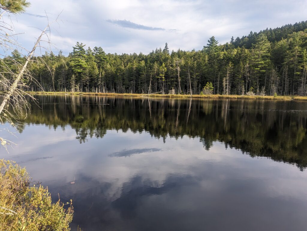
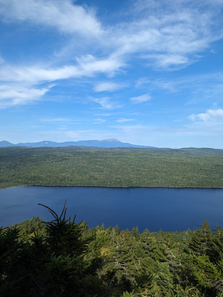
We hiked on, and in the early evening the sky clouded over to darken the forest even more quickly than normal. We found an unofficial stealth camping spot near a wide river, and gratefully dropped our packs. We partially set up the tent and sat it on its side so the bottom could dry a little, hanging the rain fly in a few trees. I collected our water from the river and filtered it into our bottles while Meadow hung the bear rope. Our paracord bear rope had been through the wringer, and two feet of rope got cut off one end from the rock we tied it around falling heavily on it during the throwing process; we only lost about two feet of rope so there was no issue. I burned the freshly-cut end with our lighter so it would not fray. We ate dinner of Knorr’s and tuna, plus a few Oreos. While we ate, another hiker passed by our campsite on the trail. He stopped and said hello, clearly exhausted, and peered at the empty tent site beside us as if he desperately wanted to stop there. He decided to press on, however, saying “I think I only have one more day on trail, which means I have a lot of food left. You guys wouldn’t happen to need any extra food would you?” We thanked him for his extremely gracious offer but declined since we expected to have more than enough ourselves, and he wished us well and disappeared into the fading light. As we crawled into the tent, we noted that since we were so close to the end of our journey, this would probably be our last night tenting in the woods…at least for a while.
Day 168, Sunday September 3: We woke up at 5:15am as usual, and packed up our gear in the dark as usual. We had cold-soaked oatmeal for breakfast again, which was difficult to finish: I could absolutely understand why the Sun God we had met so long ago on the trail referred to cold-soaking food as “Sad Soaking.” By 6:30am we were already on the trail, and the clouds that had rolled in the previous evening appeared to be in it for the long haul. They broke up over the course of the morning and returned again, and broke up again to disappear in the afternoon. We spent the morning hiking along several miles of the Rainbow Stream, eventually passing the Rainbow Deadwaters (a large open-water wetland). Shortly thereafter we passed the Rainbow Lake, a huge body of water that we followed for almost five miles. The lakewater was very clear and the temperature was warm enough to be tempting, but we decided against it.
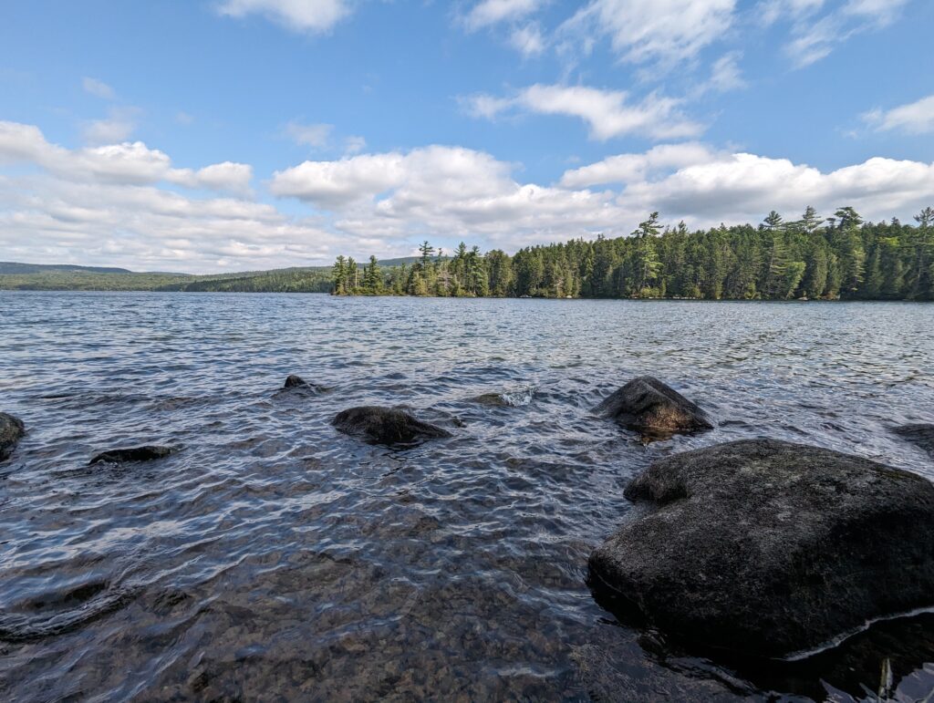
After passing the lake, we walked another few, long miles until we reached a sign that informed us that we were leaving the Hundred-Mile Wilderness. What?! Although many of the miles we covered seemed far longer than they should have, the time that we had spent in the wilderness had flown by.
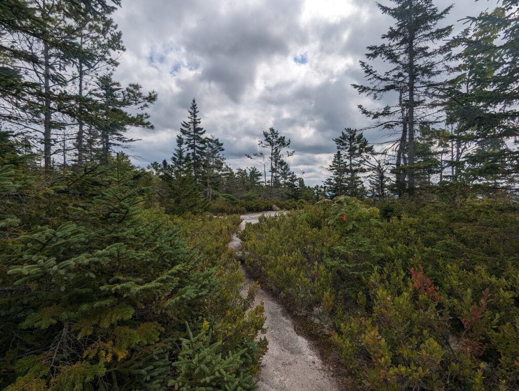
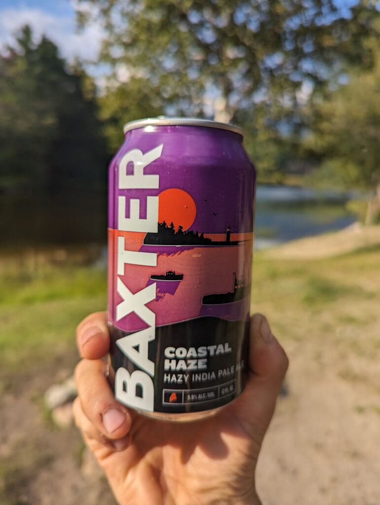
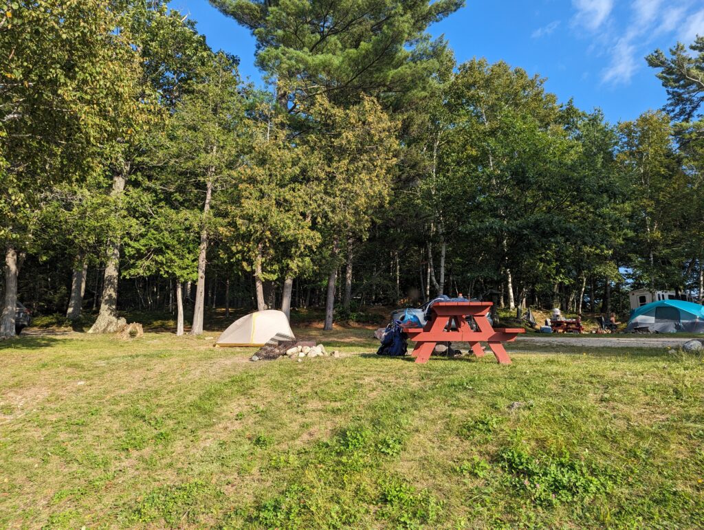
We covered a few more miles to Abol Bridge, a short bridge across the Katahdin Stream. We stopped halfway across the bridge to gaze upon Mount Katahdin once again, marveling at how close it appeared. As we watched, tourists in inner tubes floated down the river as fly fisherman pulled salmon from the dark water. We crossed the bridge to stop into the Abol Bridge Campground office, and to our surprise they still had a few camping spots left. This seemed unusual for a holiday weekend, but after being informed that there was a continental breakfast each morning, we knew we were in the right place. We selected a campsite with a waterfront view, and browsed the camp store for overpriced bars of soap and washcloths (they were all out of shampoo and conditioner…oh well!). When we left the camp office, Don the Baxter State Park Ranger had pulled up in a massive grey truck. Don’s eyes twinkled behind his salt and pepper beard, and I could tell instantly that he loved his job. He greeted us warmly, and asked us if we knew where we were going. He gave us some instructions on where we needed to sign in and register for a few things in Baxter. Don gave us some cards to fill out with some hiking information that the Park would need so they could issue us our Thru-Hiker permit to hike Mount Katahdin, and told us that we would need to report to the Baxter State Park kiosk along the AT about a half mile up the road and reserve a spot at the Birches Shelter at the base of Katahdin. The Birches shelter could hold about twelve people in the area, and hikers needed to report to the kiosk in order to reserve a spot. This was how the Park maintained a fair system to minimize over-crowding at the shelter, which seemed to make perfect sense. “A lot of people have this misconception that Baxter hates Thru-Hikers and that’s why we have all these rules. Which is ridiculous, do I seem like I hate anybody?” He laughed. “We like thru-hikers, but we need the rules to make sure that things go smoothly for both the Park and the hikers. If you’re staying at this campground, I suggest coming to see me at the kiosk before 7am tomorrow when the Birches list is posted, then you can come back to the Campground Office for the continental breakfast. Best of both worlds!” We said goodbye to Don, and did the responsible thing and each got two scoops of ice cream from the office. As we ate, another Thru-Hiker named Ultra stopped by to chat. She had skipped ahead to hike in Maine and would be headed south again after she summited Katahdin. She offered us each a beer, saying she had purchased more than she really wanted and was looking to get rid of them. I almost refused at first (it was an IPA!), but seeing that the brewery was named Baxter I figured it couldn’t hurt. Meadow and I walked over to our sunny, riverside campsite and had our camp completely set up in about fifteen minutes. We were surrounded by other holiday-weekend campers on all sides, and I marveled at how much stuff they had: campers, and trailers, massive tents, coolers and grills, plastic totes filled with supplies, fishing gear and other toys strewn everywhere…I had forgotten what car camping was like! A young boy from a neighboring campsite wandered over, unafraid, and said “Why your ten so ‘mall?” His dad laughed, and translated for his son: “Why is your tent so small?” I looked over at his family’s ripstop mansion for six people and couldn’t help but laugh. “Well, there are only two of us!” I explained. “We squeeze into one small tent so we only have to carry one that fits in our backpacks” I pointed at our packs lying in the gravel. Appearing satisfied, or maybe just hungry, the boy ran back to his family. Meadow and I finished getting organized and hit up the campground’s bath house. We sat at the picnic table at our campsite (we had a PICNIC TABLE!), both hungry but avoiding the cooking of dinner because neither of us wanted any of the food we had along. Meadow had decided to offer her beer to two of our neighbors on the other side of us, and as she was walking back over they called out. They asked us if we were hiking the whole AT, and we chatted for a minute or two. More specifically, we yelled to each other across the space between our picnic tables. Eventually, they invited us to join them. “Are you guys hungry? We have plenty of food.” We at first declined, saying that we still had what we needed and we didn’t need anything. “So you guys are telling me that you’ve been hiking for over two thousand miles, and grilled food DOESN’T sound good to you? I’ll be insulted if you don’t come over.” Five minutes later we were seated with our hosts Jeff and Maria at their picnic table, looking at plates of grilled chicken and beef kebabs, sauteed zucchini, a spinach salad, potato salad, and macaroni salad. Jeff worked as an excavation machinery operator and Maria was a lab technician in a lab that fabricates medical supplies. They asked us questions about the Trail, and we asked questions about the campground and their work. Jeff had been coming to the Abol Bridge Campground for over thirty years, and he told us about how things have changed over time. “Well for one thing, now you can only fly fish in this stream, which is stupid. I been fishing here my whole life and I don’t get it.” He also talked about how moose used to come out almost every night, but now you’re lucky if you get to see one.
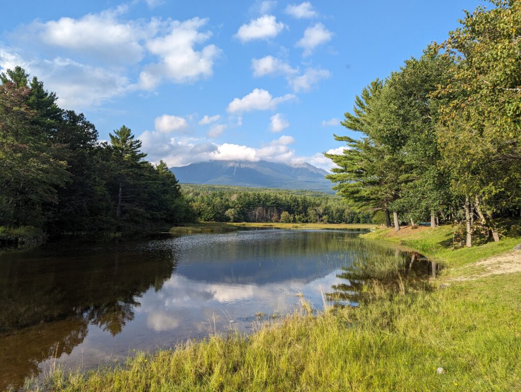
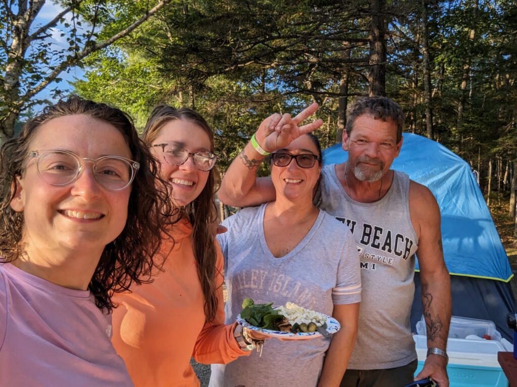
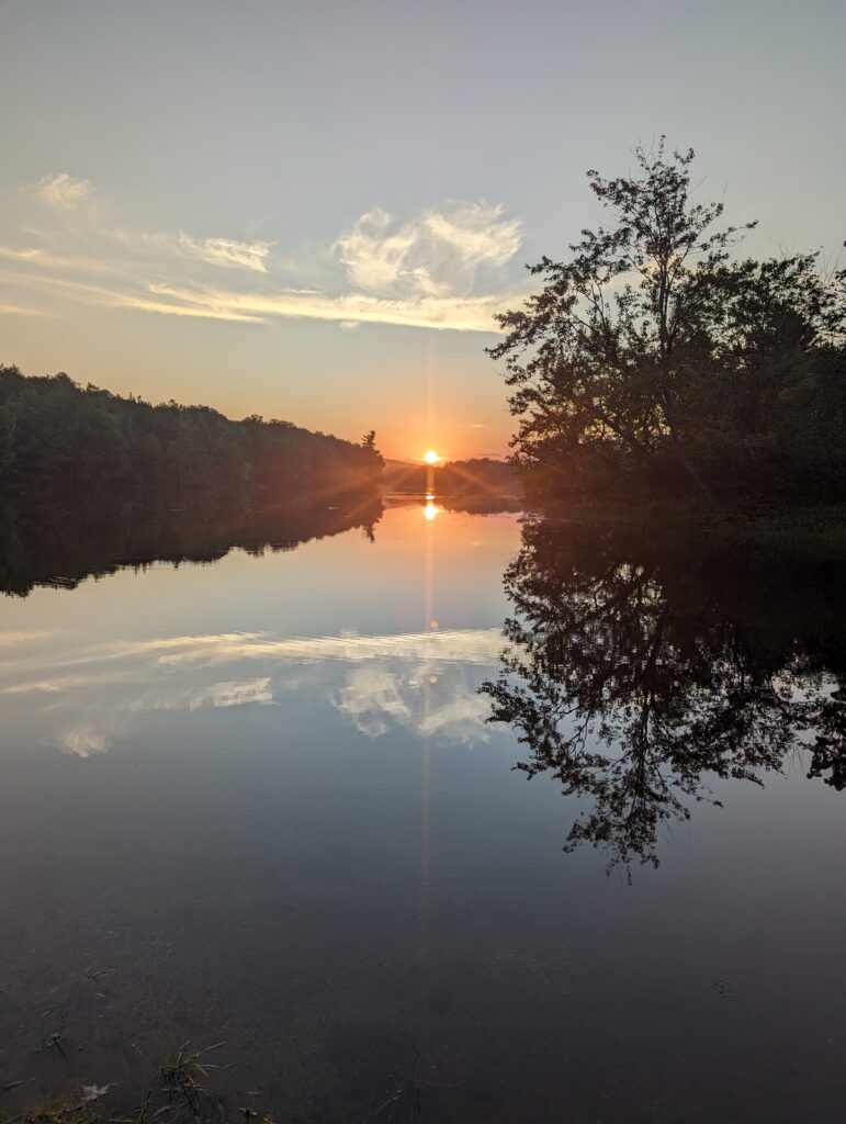
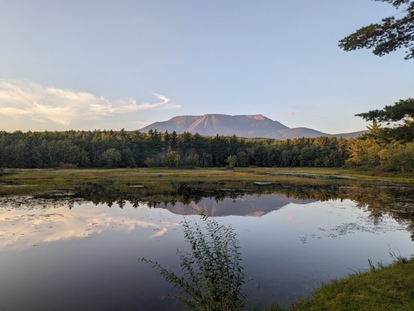
The food was delicious, probably one of the best meals I’ve had on the AT so far, and it was great to talk to Jeff and Maria. We thanked them profusely for their gracious generosity, and Jeff waved his hands. “What you’re doing has to be hard, so I’m just happy to see you both fed. The view of Katahdin from the end of this road is the best, so definitely go check it out.” We obliged, and we were glad that we did. We approached the campsite, and a small RV was parked with a middle-aged couple milling about their site cleaning up the remnants of dinner. We asked them if they would mind if we checked out the view of Katahdin from their campsite, and they smiled and waved us in. Katahdin seemed to be lit from below as the evening sun sank low in the sky, and she stood proudly to serve as the backdrop for the peaceful stream and the now-familiar pine forests below. Meadow and I both gasped and stared, and the folks at the picnic table asked us where we were from. There names were Dave and Ginny, and they were also lovely people. Dave had also been coming to the Abol Bridge Campground for nearly thirty years, and he said they try to get the campsite on the end every year so they can have that view of Katahdin. “I’ve always wanted to hike up that mountain, but I’m not sure I can anymore. I make furniture, and there’s a lot of just sitting and standing involved. My body reminds me that I’m much older than I think I am,” he said, laughing. His baseball hat had a ‘Dave’s Workshop’ logo on it, validating his story. Both Meadow and I told him that it was never too late, and as long as he had a desire to hike Katahdin then he should do it. He asked us when we expected to finish, and he seemed disappointed. “We’ll be on our way home by then. I would have loved to hear about how the mountain was after you did it.” They wished us well on the rest of our journey and we bade them a safe trip home after their vacation was over, and reminded Dave that Katahdin will be waiting for him whenever he was ready. We headed back to our little campsite as the red sun was settling into a gap between the trees. We did our nightly chores, deciding to sleep with our food bags in the tent for the first (and last) time on the Appalachian Trail. Sleeping bag o’clock arrived before 8pm, and I fell asleep to the sounds of Jeff and Maria having a domestic dispute over whose fault it was that the graham crackers for s’mores had not made it into the truck before they left.
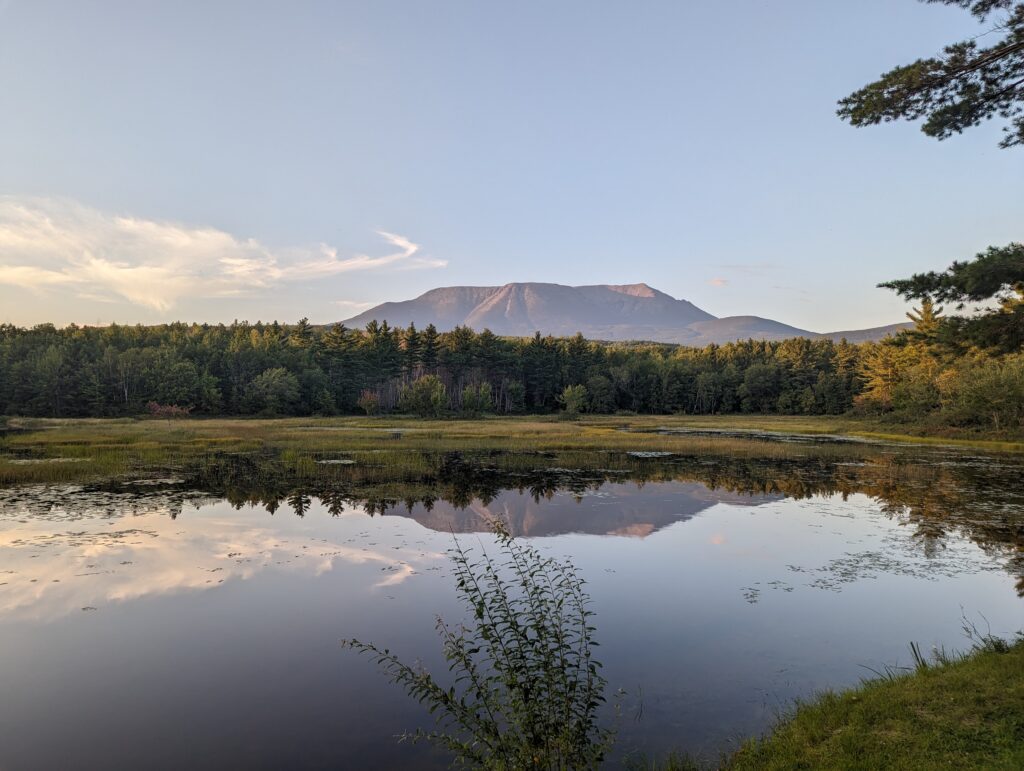
What an incredible week it was in the Hundred Mile Wilderness and on the AT. We had several days of beautiful sunny weather, and by week’s end we were camping in the foothills of Mount Katahdin herself. What’s next? We have only to cross into Baxter State Park in Maine and finish the journey. Onward!
Beautiful.
Glad you weren’t hurt when you tripped, Heather.
Anxious to hear about your summit of Katahdin.
Bittersweet❣️ Will miss reading your stories.
💚😘
Wow the Shaw’s boarding house account brings back memories. When we stayed there, Keith Shaw was running it and we ate a ridiculously large breakfast.
I knew you guys would sail thru the 100 mile wilderness with ease.
The mud dive didn’t sound like fun but I guess a soft landing is better than sharp rocks.
I can’t wait for the final post …. But then…
We will miss your reading about your adventure! Maybe we’ll go back a Re-read them!
What a wonderful blog and it’s quite a gift that you shared it, Heather.
We’re all so proud of you.
So happy for you both, almost their. I, will forever remember that you did this for a special reason. GOD BLESS you both.
Great post .. Amazing pictures. Agree with everything everyone else has said . So enjoy reading about your adventures.
I certainly have enjoyed reading each and every post of the amazing adventure. It is wonderful that you completed your journey but I will miss the weekly updates. I really think you should publish you blog as a book.
I feel as if I was Hiking with you every step of the way. I hope both of you write a book on your hike or hikes. I also want to tell you how proud I am that you have completed your dream. Looking forward to your last days on the mountain.
What an amazing journey you have had. Many Congrats!!!!! Your blog and pictures have been soooo amazing.
Ok, confession time..more than one of your photos has become my phone wallpaper over the past few months 😛