Hey everyone!
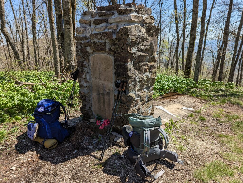
Day 36, Monday April 24: The temperature had dropped precipitously overnight as predicted, and it was a frigid morning in the shelter even though the sun shone brightly. We put on almost all of our clothes to start hiking, and even then it took over half an hour of hiking at a rapid pace before my hands partially had feeling in them again. We hiked for a few miles of gently sloping upward and downward trail before I was able to really internalize that we were on the Hiker’s Freeway–after we made the climb to the shelter we had stayed in the previous night, the trail would basically run along the top of the Iron Mountains all the way to Damascus, Virginia. While several people had used the four-letter F-word (FLAT) to describe this section of terrain, I hadn’t believed them…and we were both right. The trail wasn’t truly “flat” as it still rose and fell several hundred feet in elevation in small hills…but it did FEEL flat. Compared to the terrain we were now accustomed to climbing, whatever we were hiking at this time definitely seemed to be flat even though it really wasn’t. But I wasn’t about to complain as we cruised on, hours melting into miles easier than they ever had up to this point. I started to be hungry for early lunch around 11am, and we happened to pass a monument for the gravesite of a local hermit. The monument said “Uncle Nick Grindstaff. Lived alone, suffered alone, and died alone.” I suggested to Meadow that we eat lunch in the clearing so Uncle Nick didn’t have to be alone on that particular day, and so we did. Depending on the type of hermit he was, or what he suffered from, he may have either really appreciated us being there or not. Either way, he didn’t eat much for lunch and wasn’t great conversation, but we enjoyed our lunch nonetheless.
After a few more miles, we emerged from the forest into a clearing. There was an open parking lot with a pasture gate that led to a large open field with rolling hills. As soon as we passed through the gate, we stumbled across a few white plastic bins and a bag for trash–passive Trail Magic! One of the bins had some snacks, and I had a Russell Stover chocolate s’mores sandwich cookie which was obviously incredible, and the other plastic tub had a few drinks on ice. At first I wasn’t interested in another cold drink since our water had stayed pretty cold and it still was pretty chilly out, but then I realized there were some cartons of 100% fruit juice. Since I needed to work on getting more vitamin C, I grabbed a juice box and ate my chocolate candy, further reducing my food age to about 6 years old. After placing our trash securely in the plastic bag next to the plastic tubs, we headed out into the open expanse of field. The short dark green grasses and buttercups waved wildly in the wind, and I had to keep my jacket on even though the sun was still shining. The dandelions have looked particularly golden-yellow as we hiked through the South, and I wondered if it was because of the soil, the sun, or just because I haven’t seen them in a few seasons. After cresting one of the rolling hills, we could see an old abandoned barn that had been emblazoned with an enormous AT symbol, and on the other side of the valley stood a wooden home complete with a large white fuel tank. I wondered whether people actually lived on the home currently, and what they might see and experience in terms of weather conditions based on being so exposed and their line of sight into the entire surrounding Iron Mountain range.
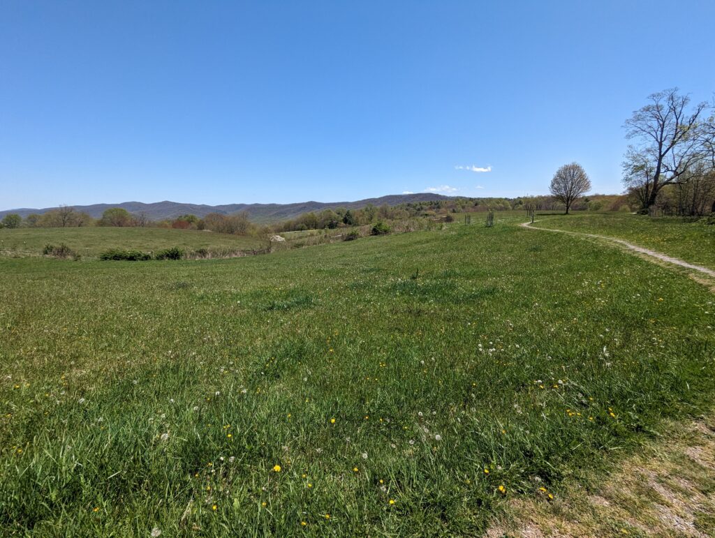
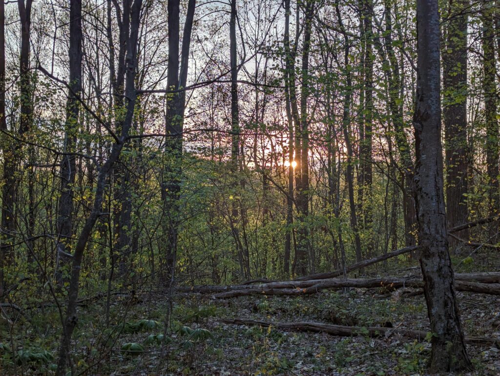
We pressed on through what appeared to be open pastures, and had to step over a few barbed-wire fences outfitted with wooden steps specifically made for Thru-Hikers to safely cross the wires. We made it to the shelter where we were planning om staying for the night by about 3pm, and after a short break and a snack we decided to press on to a tent site about five more miles. By the time we got to the tent site we were both extremely tired, but as always had the energy to laugh about how tired we were. Eventually we saw it, the tent site of our dreams…in this case, literally just meaning a relatively flat area that we could dump our stuff into. We had done our first 20-mile day! Although it was cold the setting sun was bathing the area in gold light, and I realized that we were in a grove of tuliptrees. I always liked the tuliptree because its leaves are very distinctive and therefore easy to identify, at least during the summer when the trees are actually in leaf. There were about ten large mother trees scattered around the basin where we were setting up camp, but beneath their enormous trunks there were thousands of slender tuliptree saplings about 5 or 6 feet tall. As soon as one of the mother trees falls and creates a space in the canopy, the saplings would all vie against each other for dominance and the chance to join the next generation of mother trees. We decided to divide and conquer our evening chores, so Meadow started setting up the tent while I started to scout around for the perfect bear hang branch. Although the tuliptrees were beautiful, they received failing marks for providing decent bear hanging branches. The trees were all so old that all of their horizontal branches seemed to be at least 40 feet off the ground, which was far too high. I eventually found a broken shagbark hickory tree that bent in half at around 20 feet high, and decided to try to suspend the rope at the notch. The TL;DR version is that it didn’t work. The longer version is that after a few throws I got the rope exactly where I wanted it, but the rock that I had tied to weight the end of the rope was an over-achiever: it went around the tree trunk twice and engaged in some kind of alchemic knot-tying permanence up in the tree…and my rope wouldn’t come back down. I pulled as hard as I could, even wrapping the rope around my foot several times and putting my full weight on it; the only thing this accomplished was to put myself in danger of pulling the entire shagbark hickory tree down on my head. I retrieved the knife from my pack and cut the rope off as high as I could reach so people and wildlife would not trip or become entangled in the dragging length, and saluted the rope stuck in the tree as one of the lucky ropes that get to live out its life stuck in a tree on the Appalachian Trail. I had already seen hundreds of other tangled ropes stuck in trees with various bobbles at the ends like rocks or carabiners, so on my humble opinion it’s basically a rite of passage to have nature claim a bear bag rope as part of the Thru-Hiker experience. I retrieved the backup rope from my pack and Meadow was able to get it lobbed over a tiny nub of a branch on a slanted tuliptree while aiming for something else, and the spot worked beautifully. We didn’t even hear any animal activity that night, and it was one of the better nights of sleep that I’ve had so far.
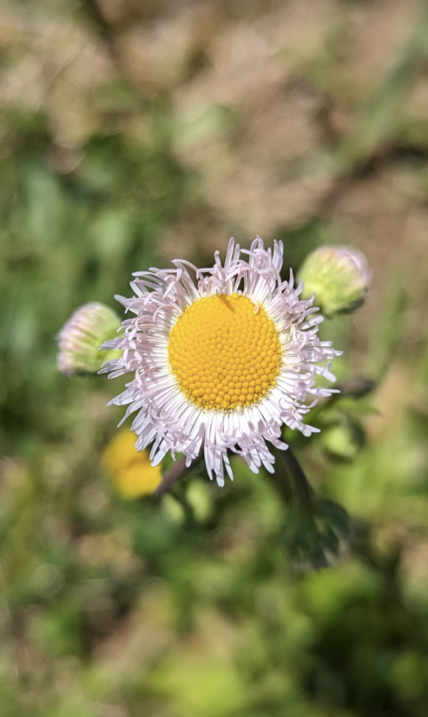
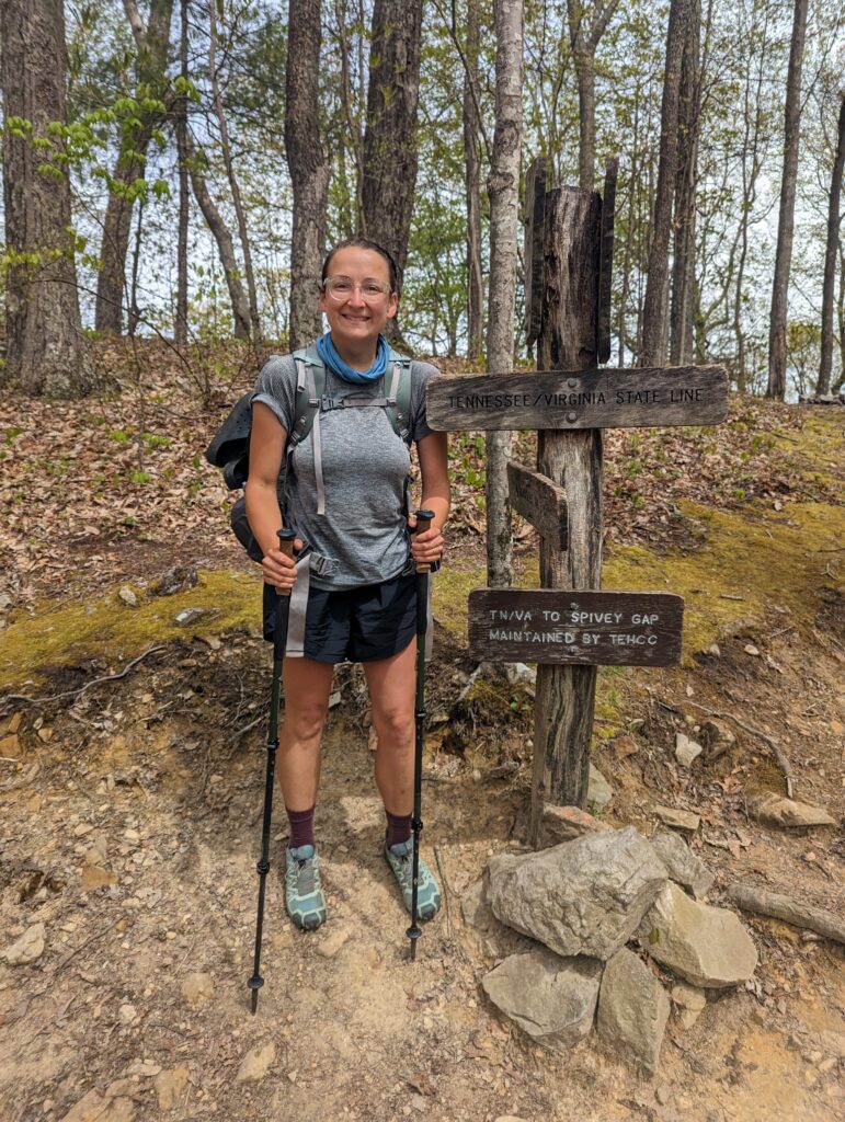
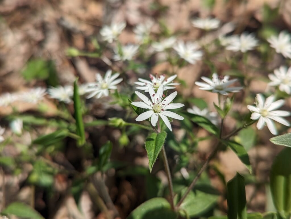
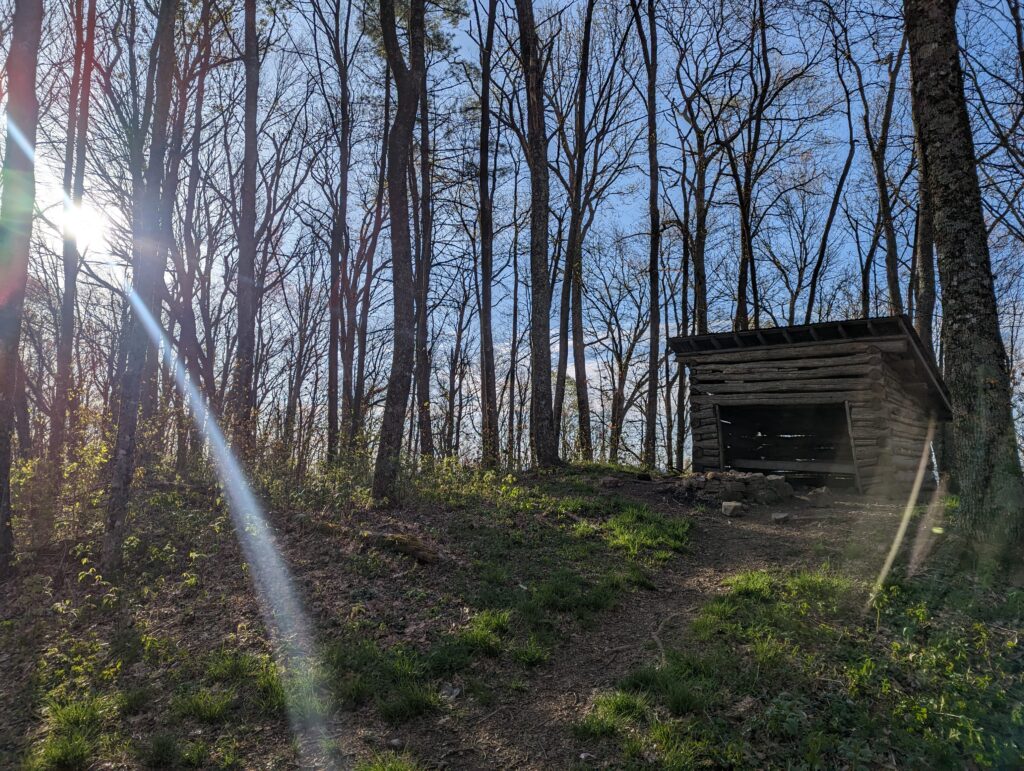
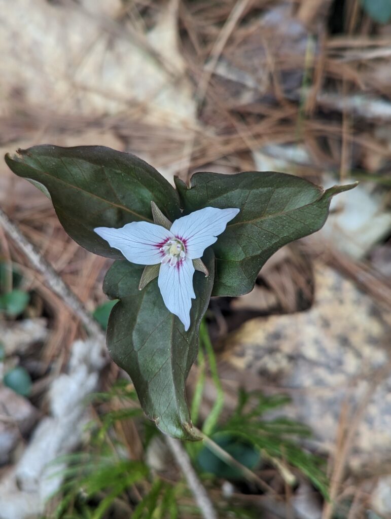
Day 37, Tuesday April 25: I awoke once again to the softly increasing light of dawn and birdsong. The air was still extremely cold (shocker!), and I ended up putting on all of my layers to keep warm hike we tore down camp and ate a quick breakfast. Just like the previous day, the mileage was relatively easy to cover as the terrain was “AT flat” yet again. We passed what appeared to be a doghouse from a distance, but then realized it was just a tiny shelter that could fit maybe 2 people if they were both very small and very socially and physically close to each other. We passed more sunny miles and forest flowers, and stopped for second breakfast and lunch. And then, we passed another thing that we had been looking forward to for a long time…the Tennessee/Virginia state border at AT mile 467. We had finished another state (3 down, 11 to go!), and more importantly we had reached Virginia! This felt like a significant milestone, because it is, and we celebrated at the state line. I had started feeling like a Thru-Hiker after a few resupply adventures in the second and third weeks on the trail, but to reach Virginia made it seem even more real.
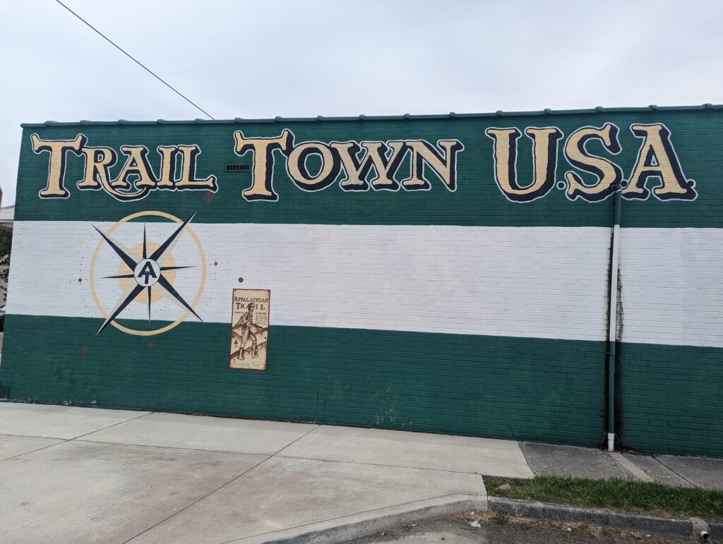
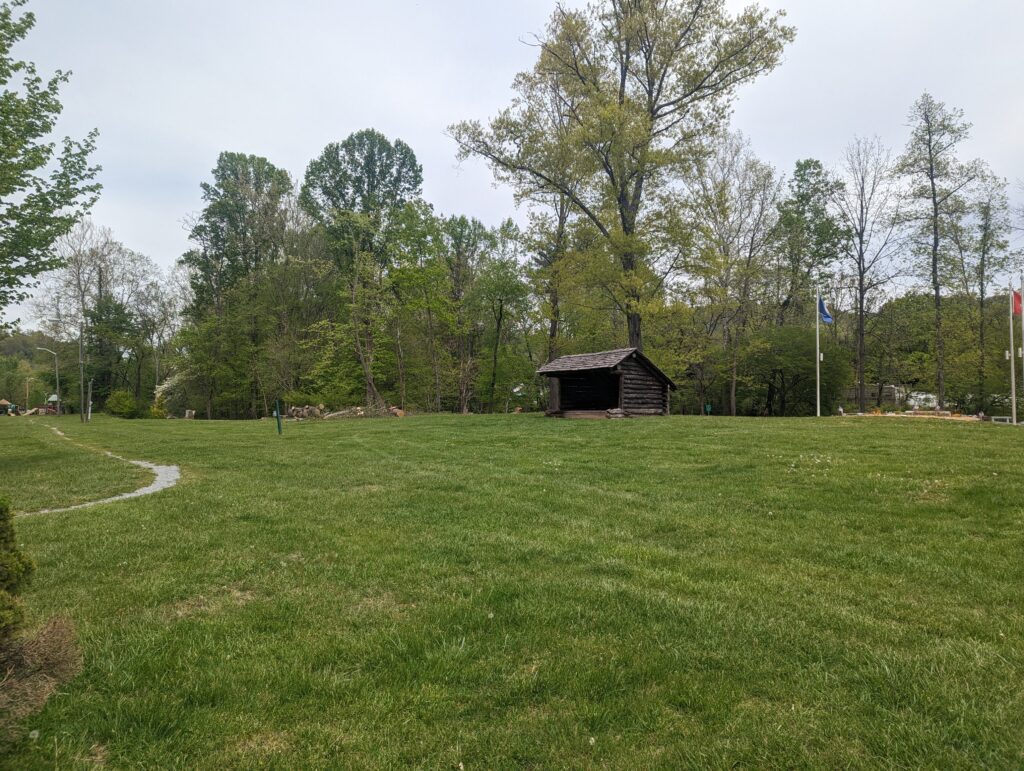
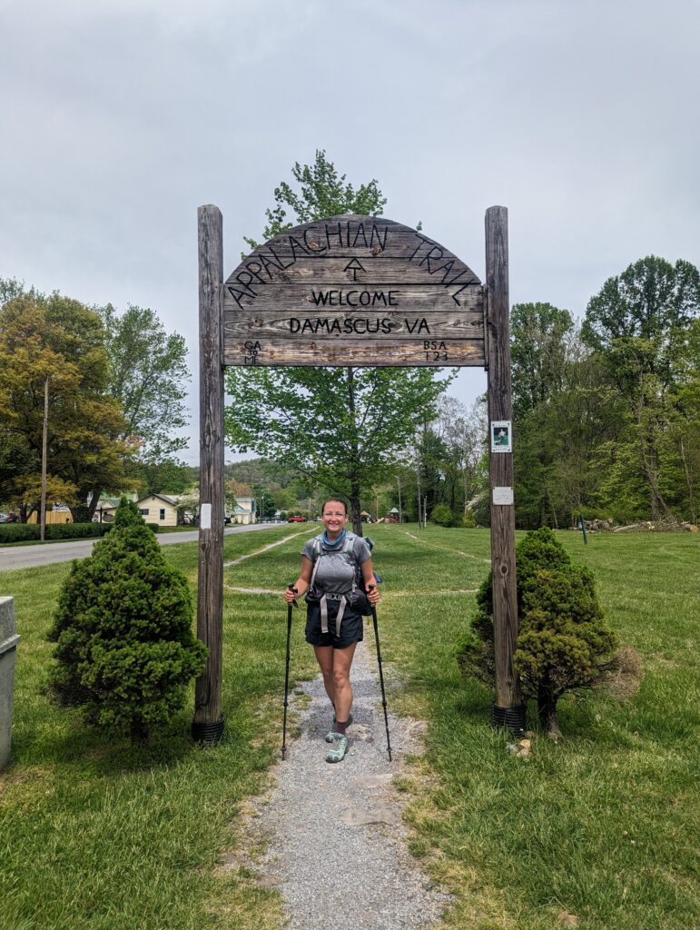
After basking in the accomplishment for reaching the longest state on the AT (over 500 miles of trail in VA!), we hiked on for another 3.5 miles until we hit the “friendliest town on the AT”: Damascus, VA. We popped out of the forest and landed without ado on a residential street with manicured lawns and actual homes, which was one of the oddest experiences I’ve had on the trail so far. After following the trail for another quarter mile across streets and through small intersections we came to an open, grassy square where the town has their festivals. A wooden arch stood over the trail, and a replica of an actual trail shelter stood in the grassy area with one major difference: in the back of the shelter there was a sign nailed to the wood that said “Absolutely No Camping”. We enjoyed our walk through the town, still technically on the AT, and eventually pulled over into an outfitter. I had to buy another 50 feet of Paracord so that we had a backup bear bagging rope if we needed it, and also needed a few other things like a more robust water bladder since my filtration bags had gotten holes in them, some gear patches to fix a small hole in my pack from a particularly feisty rhododendron bush, and more hand sanitizer. Meadow was checking out the socks since her Darn Toughs were putting in the overtime to give her blisters blisters. After determining that the outfitter’s food prices were way too high we went across the street to our old favorite the Dollar General for food, where the pickings were slim and I still somehow ended up with too many pop tarts. Oops? After that we went to the Damascus Diner where we sat down and plugged our phones in to charge. I spotted our old friend Roadrunner and waved him over to our table. The three of us spent a long lunch break catching up about things that had happened since we had seen each other last, and Roadrunner finally told us why he was on the AT this year. Roadrunner told us that his father, who had passed away some time ago, had always told him to avoid becoming a workaholic. After further prompting from his grandfather, Roadrunner had finally decided to do the AT this year because he had the money saved up and wanted to lean into living his life instead of just focusing on work. We all agreed that we were so happy and grateful for the opportunity to be on the trail. After a while our other trail buddy Rod came in for lunch, and we discussed our hiking plans for the next day. I had previously expected both Rod and Roadrunner to be far ahead of us by now, to the point where we may not see them again. It always amazes me that we could happen to see the same people on and off again even though we never seem to be going the same speed. We ended up staying in Damascus until almost 5pm between our errands, the diner, and a quick stop into a hostel to grab some water, but it was a lovely stop altogether. After leaving town full of burritos, queso, and blackberry cobbler and ice cream (couldn’t say no!), we schlepped ourselves and our packs a mere 1.5 more miles before joining a small crew of tents at a lovely spot in the forest still close enough to Damascus to hear the traffic and dogs barking. There were three young women already occupying the tent site so we just added our tent to the mix. We spent the evening discussing biology/botany, book recommendations, some of the more interesting people we’ve met on the trail, why we were out on the Trail, the demographic split of Thru-Hikers, and one of the most common discussion topics for all Thru-Hikers even if they don’t admit it: trail bathroom habits. We hung our bear bag on a rickety half-broken tree and called it a night.
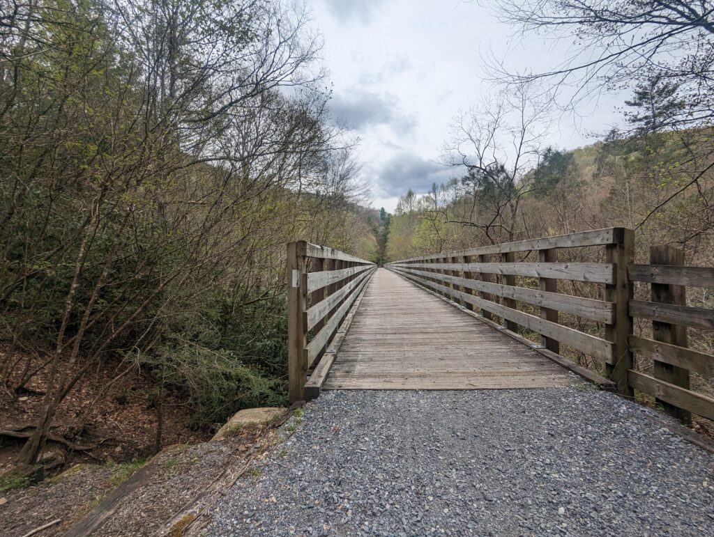
Day 38, Wednesday April 26: The morning was again very cold but the sun was shining. When I went to retrieve our bear bag, the downward strain on the poor branch as I pulled down on the rope proved to be too much and the whole branch came crashing to the ground. Considering the branch didn’t hit me on the head and our food had remained suspended all night, plus the branch was already dead, I still considered it a successful bear hang. After a long climb up from the river valley, our body temperatures finally normalized; we felt like we had to get used to this “real” Appalachian Trail terrain all over again after the previous two days on the Hiker Freeway. We hiked for a few hours and eventually the air temperature rose, but the sun disappeared behind a thick layer of clouds. In this area the AT winds around and occasionally joins with the Virginia Creeper Trail, a Rails to Trails gravel bike path. The Virginia Creeper Trail was converted from a railroad track bed to a bike path sometime after the rail line was abandoned, and the rail trail is named after the decommissioned Virginia Creeper locomotive. A few bicyclers passed us after we crossed the long wooden bridge and one of them pulled stopped to chat with us. Turns out she was also a Thru-Hiker, Dragonfly, who had rented a bicycle to bike along the section Virginia Creeper Trail that intersects with the AT instead of hike for a day. After we wished each other luck on our Thru-Hikes and Happy Trails, we left the Creeper trail and went back into the forest.
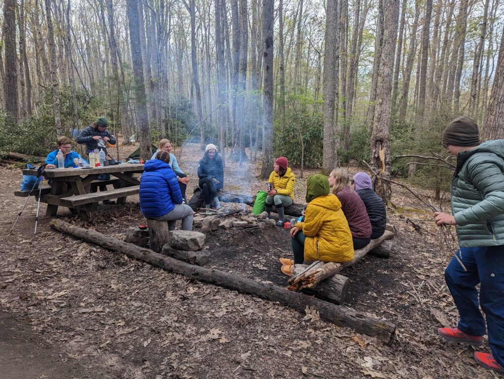
We hiked on for a few more miles and hours. After a while we stopped for a snack break that was long enough to give all of our joints enough time to freeze up and we did the Hiker Hobble for a few minutes when we got going again. We laughed at what has become a frequent occurrence before, wondering how it was possible for us to have walked over 400 miles and still barely be able to walk up a small hill. Eventually we got to the shelter we had planned on staying at. Despite it only being about 2:30pm, we decided to stay anyway instead of pushing on. We hadn’t eaten as much as we usually do throughout the day, and so we had a few snacks to lighten our packs and catch up on calories for the day. We were delighted to find that we were once again in bear box territory, and the shelter had a bear box for us to drop our food into overnight! As we finished our snacks and set up our sleeping kits, other folks rolled into the shelter throughout the afternoon. By the time evening rolled around we were joined at the shelter by maybe thirty other people; about six of us fit in the shelter and everyone else was tenting in the surrounding area. Even though the air was cold and getting colder, someone made a campfire and a group of about twelve of us hung out at the fire talking and laughing until Hiker Midnight: 9pm. Some of the folks were traveling together and had a tradition of going around the circle and sharing their “Pits, Peaks, and What the Hecks?” from each day, which included the low points of the day, high points of the day, and something that made them say What the Heck? It was one of the first times we had the opportunity to meet a large group of new people and actually spend a few hours getting to know them. It was a great experience of living into the spirit of the Appalachian Trail, where we can get to know complete strangers over a campfire and a few shared stories and/or snacks. It was great to hear people tell their stories, or at least parts of their stories, why they were out on the trail, and other significant facets of their lives. We visited with Bluegrass, Riddle, Shamrock, Oriole, Theressa, Bumblebee, Puff, Podcast, and Lorax late into the evening. I stayed up later than usual and enjoyed every minute of it!
Day 39, Thursday April 27: Packing up camp went quickly this morning, partly due to my excitement for the day. We were going to enter the Grayson Highlands State Park in Virginia, where there are “wild” ponies! As soon as we left camp the sun disappeared and the clouds rolled in–we didn’t expect rian until later in the afternoon, but the clouds weren’t all that convincing. We had a climb of just over 2,000 feet to start the day, but the ascent was spread out over about four miles and therefore wasn’t that intense. We made it to the top before we even stopped for Second Breakfast, and popped out into a mountaintop meadow with extremely high winds. We ate a quick snack before shuffling off across the meadow while being buffeted by the cross winds. Before entering the forest on the other side of the meadow, I looked up to the mountaintop and could see the clouds passing through the trees. As we entered the forest, the fog thickened and the mist became thick enough that I could feel it in the air. As we hiked on, the mist became a spitting rain and eventually a light drizzle. We had already climbed up to the top of the mountain ridge and were walking along the ridge tops, so the elevation gain was fairly low. However, the trail was rocky and uneven, and was made even more treacherous by the slick layer of water landing on everything.
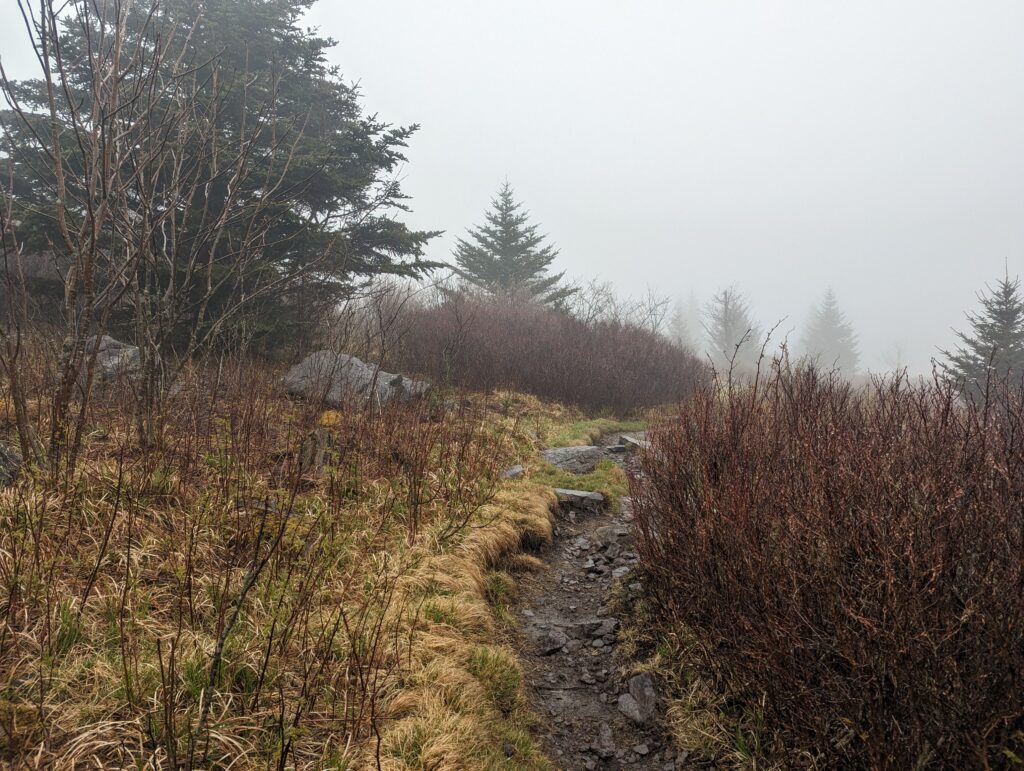
We hiked on through foggy forest for several hours, until we reached a shelter where several other folks had already stopped for the day. We were going to be picked up by Nick for the weekend but we had several hours to kill before heading to our extraction point in a few miles, so we also stopped into the shelter to get out of the rain while we waited. We cooked a late lunch of a Knorr Broccoli Cheddar side (for me) and a ramen packet (for Meadow) in am attempt to warm up. A few hikers said that they had already seen a few ponies that morning, but they had already left the trail by the time we went through. I had heard that the ponies don’t typically come out too much when the weather is poor, so I was not surprised that they had disappeared by the time we walked through. After visiting at the shelter for a bit longer, the rain lightened from a steady drizzle to a heavy mist again and we decided to make a break for it. Within a few minutes the rain increased to a drizzle again, but we had our rain gear on and were not phased. After less than a mile we passed a small monument that we had been waiting to see all day: we had reached the 500 mile mark on the AT! A few weeks ago it seemed unfathomable that we would ever make it 500 miles, but here we were! We celebrated at the monument by taking a few minutes to reflect on the past few weeks and singing the song 500 Miles by the Proclaimers.
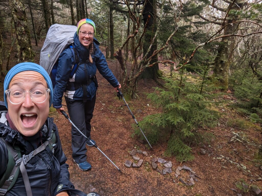
We hiked a few more soggy miles and eventually made it to a fence that marked the edge of the Grayson Highlands State Park. The fog was so thick we could barely see past a hundred feet in any direction, and it was difficult to look around anyway with my rain coat hood pulled low over my head. I did my best to look around anyway, hoping to catch an unlikely glimpse of a weather-defiant pony. The trail was extremely rocky and streams of water gushed down the trail from the rain, which made it hard if not dangerous to rubberneck. After less than two miles in Grayson Highlands we reached the spur trail that led to the parking lot where we were meeting Nick. Although it was only about 6pm the weather made the sky dark, and after several hours of hiking in the rain my coat and pants were starting to get saturated. It was a relief when we popped out of the spur trail to see Nick and our friend Jerry waiting for us to take us to the rental place we had for the weekend. The rain turned heavy as evening turned into night, and I was relieved to be out of the weather.
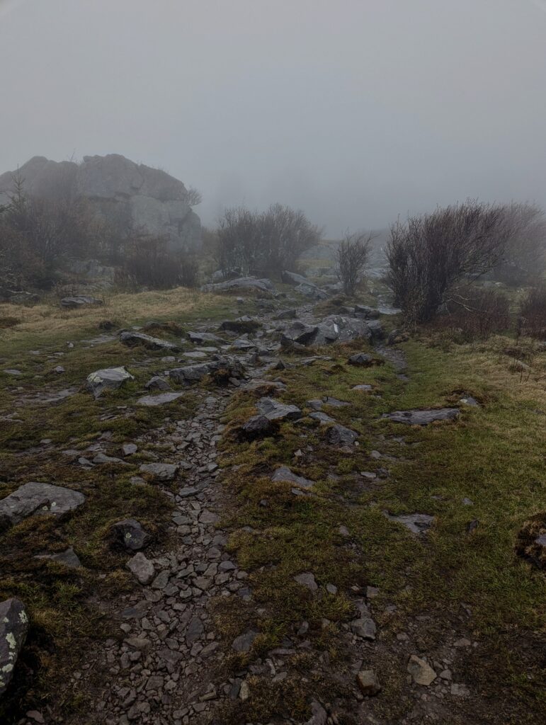
Day 40, Friday April 28: I set an alarm to wake up at 6am so we could start our day of slackpacking. I made four peanut butter and jelly sandwiches for Meadow and I, two for breakfast and two to pack for second breakfast. We had some coffee with breakfast, which was a treat for me as I realized I haven’t had any coffee since starting the trail back in March. After about a half hour drive we were back at the Grayson Highlands parking lot, and after hiking back up the spur trail we were back on the Appalachian Trail by 8am. After the torrential overnight rains, I was delighted to see the sun shining and lighting up the clouds still hanging on in some of the valleys. As we resumed our hike through the Grayson Highlands, the streams of rainwater from the previous night that flowed directly down the trail were illuminated like liquid light which was both glorious and blinding to look at. We hiked on through rocky streams of runoff, and I was astonished at the difference in what we could see during the clear day compared to the foggy weather from the day before.
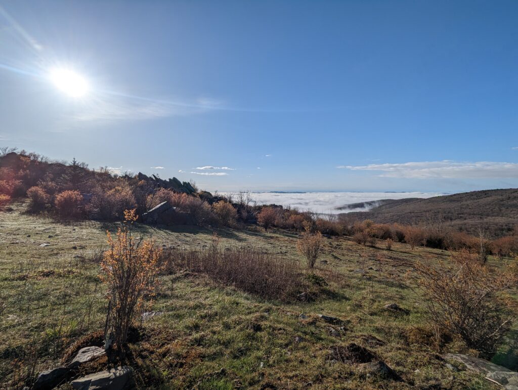
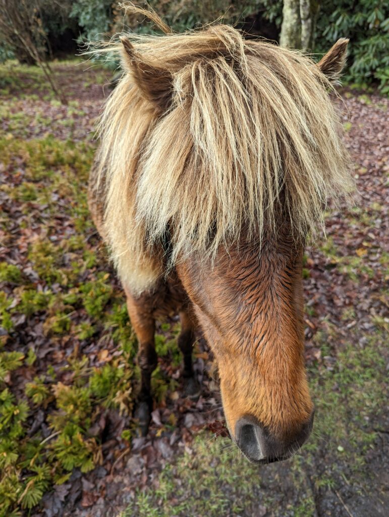
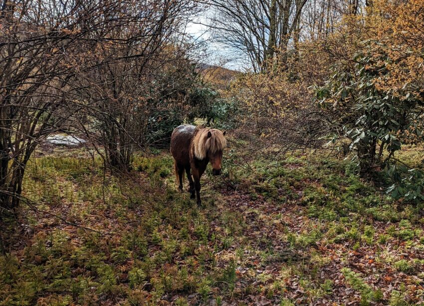
As we walked along, I kept trying to look around to see if there were any ponies. The ponies are not really “wild” but are managed by the Wilburn Ridge Pony Association. They were introduced in the mid-1970s within the fenced-in area of Grayson Highlands State Park and the surrounding Wilburn Ridge recreation area to control the growth of shrubs and greenbriar, thereby preserving the areas’ open balds. The ponies are rounded up at least yearly and corralled to have their health checked, and the herd size is maintained by selling ponies or re-introducing them to the area. I told myself as we walked through the park that the ponies could be anywhere in the park and there was no guarantee that we would see one, trying not to get my hopes up. But I’m reality, the Grayson Highlands was one of the things I was most excited to see along the trail. We did see a lot of horse poop all over the trail, so it was nice to know they at least existed! After a while of enjoying the park’s open, shrubby landscapes we entered a small area with a few short trees. I thought I saw a tan flash of hair behind a bush but I wasn’t sure, and I didn’t want to jump to conclusions. As we took a few steps closer the tan fluff moved out from behind the bush and I could see it was attached to the chestnut head of a short pony! I lost my cool and pointed, trying to keep my voice down as much as possible while whisper-screaming “There’s one right there!” She slowly ambled out from behind the bush, grazing for her breakfast (or was it second breakfast already?) and angled in our direction, apparently not caring at all that we were there. I soon realized that not only did she know that we were there, she was aiming right at us. Apparently the ponies are quite accustomed to getting treats from Park visitors, so it’s pretty common for them to come right up to people looking for food. She walked slowly up to me and nuzzled around my hands with her soft, fuzzy nose. When food wasn’t forthcoming she started licking my leg, possibly looking for some salt. I already couldn’t believe my luck that I had even seen one of the ponies, but now there was one licking me?! She continued to nose around, and I was able to gently rub her face and nose a bit. Meadow dug my apple out of my backpack, which I offered to the pony with an open palm so she didn’t accidentally bite off a finger or two. I felt a little bad about feeding the pony, but at least I wasn’t luring ponies all over the place with licorice candy like the now-famous Thru-Hiker Jennifer Phar Davis did! The little mare took a few bites of the apple before the apple fell to the ground and was finished off in pieces. Meadow retrieved her own apple from her pack and also offered it to the pony, who graciously accepted and cleaned up all of the dropped pieces. The pony turned and swung her back half around, bumping into Meadow and causing her to lose her balance. Never Have I Ever been hip-checked by a feral pony in Virginia! After spending another minute with the pony she seemed to accept the fact that we had nothing else to offer her. She continued nosing along the ground for something else to eat, nibbling on whatever leaves looked tasty and began ambling away. The interaction we had with Our Little Pony seemed special and significant, and was absolutely a highlight of the AT experience so far.
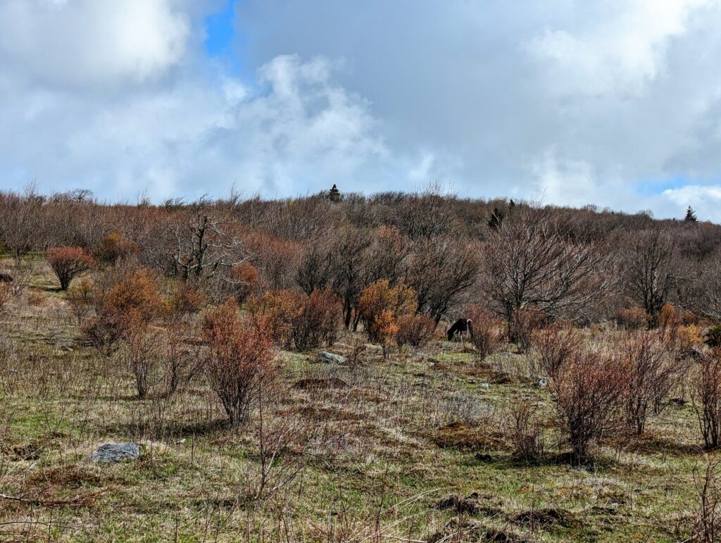
We moved on from the shrubby clearing into a wide open area, and I enjoyed the feeling of blazing sun on my arms after being cold for the last few days. Eventually we reached an open expanse with rolling hills and short, scrubby vegetation. I saw another pony under a tree rather far away, this one a darker brown with white back legs and white front socks. I quietly lost my cool again and whispered OH MY GOD THERE’S ANOTHER ONE, which we admired from a distance. I saw another hiker with a brightly-colored hat approaching us on the AT from the opposite direction, and she appeared to be passing the pony by without noticing it. When the woman in her bright hat was still about 200 feet away from us I raised my arm and made large pointing gestures in the direction of the pony. The woman stopped and turned, and stood on the trail staring. Eventually we caught up to her on the trail and also stood there staring at the pony, this one much less interested in socializing with us. The hiker said that she hadn’t seen any other ponies yet and was starting to get worried. “At least now I have seen one–thank you!” She took a few photos and warned us about the wet trail conditions up ahead, before patting my arm and wishing us good luck on our hike. After she left, we heard the pony whinny and then turned to slowly head farther away from the trail.
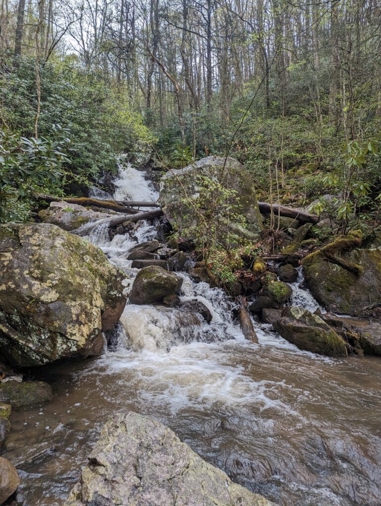
After all this excitement, we still had a lot of miles to cover before reaching out slackpacking extraction point! We hiked up and over gentle hills and eventually entered the forest again. The trail looked like a regular stream at times, and the actual streams we crossed were turbulent and brown with the excess water and sediment from the rains. We hiked for several hours before catching up to a couple that we had seen several times before bit had never actually spoken to. Today we stopped and actually chatted with Lily and Dimitri, learning that they were partners and have been enjoying the trail together, etc. They don’t have trail names yet because everything that other hikers had suggested didn’t seem to fit, but they were being patient and said that they would probably just name each other when the time was right. We wished each other well before moving on for another several miles of wet but beautiful Trail. Throughout the afternoon the sun slipped behind the clouds again, and although a few drops fell periodically it didn’t start to actually rain. Eventually we reached a sign that said the bridge over Cromer Falls had been removed because it was unsafe, and that during high-water events there was a 1.5-mile bypass trail that should be used instead. Although it rained last night we weren’t sure what would constitute a ‘high-water’ event at that particular location, so we decided to risk checking out the Cromer Falls section of trail. After hiking for about half an hour we reached the falls, only to find that the stepping stones in the stream were totally covered by at least several inches of rushing water. Cromer Falls was raging with the increased rain flow, and using the stepping stones to cross the stream was not going to be an option. Fortunately or unfortunately for us, just further downstream there were a few large pieces of debris that we could scuttle across. The crossing involved stepping on what seemed to be a toothpick-sized branch wedged between a few rocks (although it was probably three inches in diameter), balancing on some large rocks, and in the middle of the stream leaning over to place your hands on a large chuck of wood while stepping from a rounded tree trunk to another rock that seemed to be a mile away, all while foaming white water coursed beneath you. No pressure. I wondered how cold the water was and how bad it would hurt if I fell in and had to bounce my way down the foothills of the waterfall until the stream calmed enough to climb out. After a few seconds of catastrophizing I pulled myself together and just crossed the stream. If I had been wearing my 30-pound pack instead of just a slackpack, I’m not convinced I would have been able to make it because the extra pack weight easily throws me off balance. But since we had no issues, I snapped a few photos of the raging river of death and we moved on. Less than a mile later, we climbed out of the forest into Dickey Gap parking lot, where Nick met us less than 10 minutes later.
Day 41, Saturday April 29: Our second Zero Day! It’s shocking to think we have only taken two full rest days since this adventure began. Although I definitely feel better now in many ways than our last Zero Day in Week Three, taking a day off from hiking every now and then is extremely important because it gives the body time to rest and heal. Body pains, especially in the legs and feet, are an integral and unavoidable part of Thru-Hiking. The goal is to minimize the strain on the body to prevent actual injuries and long-term damage, but putting up with inflammation, soreness, and outright pain is just part of the deal. My Achilles tendons and some of the joints in my feet were particularly painful several weeks ago, but after paying more attention to the mechanics of my footsteps and making sure I don’t overload my pack with unnecessary food (Never Forget Hot Springs!), the daily pain in my feet has once again become bearable. Stretching is also always a good idea, and I have been trying to stretch at the beginning and end of each day.
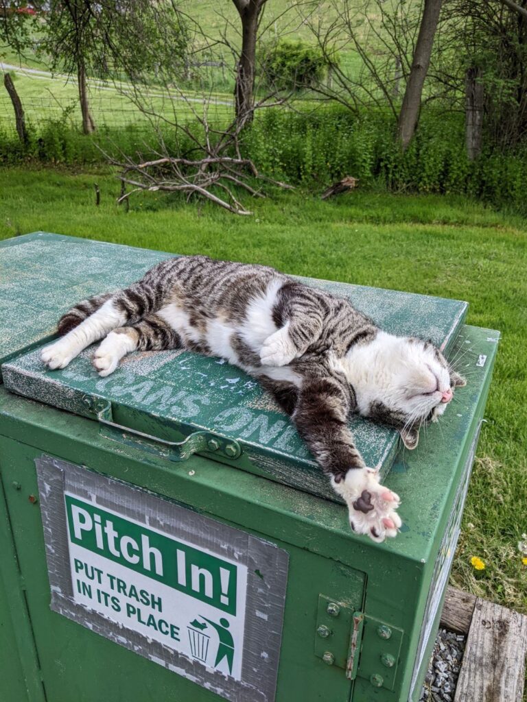
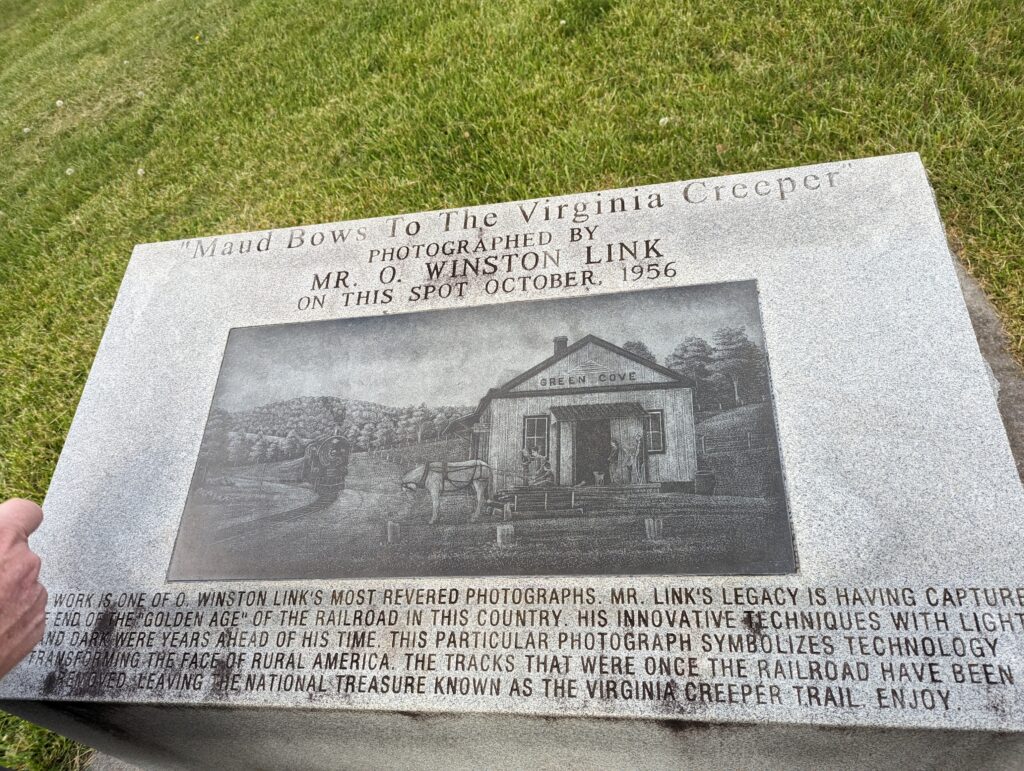
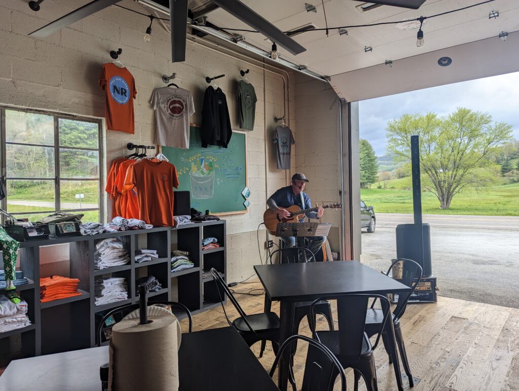
Anyway, we had quite a busy day for a Zero Day. After all, we don’t have to do ‘nothing,’ the purpose of a zero day is just to minimize strained walking! We visited the old Green Cove train station, went to Sarah’s restaurant for barbeque and an amazing brownie sundae, hit up an outfitter and Moonshiner in Marion, VA, and went to a gas station/deli/concert venue (what??) to see Jerry G play a few hits. All in all, a wonderful day!

Thanks for stopping by!
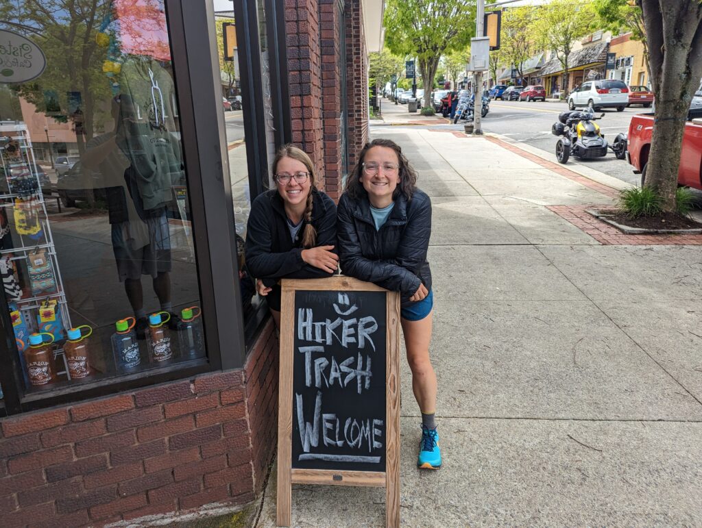
Great hearing from you!, and taking in everything you are experiencing!
Blister upon blister can turn into an infection… be careful with that. (Meadow) that can lead one to an ER with IV antibiotics. Hopefully, ya’ll have antibiotic ointment and nonstick adhesives. I’m sure you know and do. Godspeed!
I just love reading these. Grayson Highlands was one of the areas I joined Craig on and I was wild about the ponies too!! Might have to go back there again someday.
You two are doing so well on the mileage! Wow! And it sounds like a nice pack of NoBos on the trail with you!
Hope it warms up soon.
What does NoBos mean ? 🙂
I’m curious to know too…🙂
I looked it up .. Here’s what I found
What is NoBo and SoBo Hiking? – RidgeTrekker
Simply put, a NoBo hiker is someone who is hiking northbound on a trail, while a SoBo hiker is hiking southbound. These terms are commonly used on long-distance trails like the Appalachian Trail, the Pacific Crest Trail, and the Continental Divide Trail.
So glad to read another installment. Great pictures ! Love the photo of the pony 🙂 You two are doing fantastic !
I love your stories and pictures. The air and sky and trees and mountains and waterfalls and this time ponies are all sooo beautiful. Thanks for sharing.
Congrats on the 500 marker! That’s a lot of miles.
Awesome AND impressive!
Heather and Meadow, pray for your both everyday, Enjoy,
Love the dry humor (“it felt like an accomplishment because it is”) 😊
So cool about the ponies!
Love all your pictures and story, looks like everything is going great. Stay safe. Will keep praying for your safety.
Just checked the blog for any new entries and saw the NoBo discussion. Sorry I wasn’t on to explain it but Megs got it exactly right.
There are many more northbound than southbound every year and some who flip flop- go north to some point, such as Harpers Ferry, then get a ride up to Mt Katahdin and hike south back to where they ended.
I’ll eagerly check for another blog each day now. They’re such a good read and they are hiking so well!!
So cool you got to see the pony’s!
Awesome week!
I use a dry erase board to keep you Uncle Ted updated. He’s practically deaf, so that’s how we communicate anymore. He’s enjoying your pics. Stay safe.
So cool that you got to see the ponies! Your photos are really good!