Hey everyone! First I just wanted to say a quick thank you to everyone who has been reading this blog! It’s been great to read all of your comments, and I hope you’ve been enjoying the stories. It’s hard to believe we’ve already been out here for eight weeks. Here’s what’s been happening this week:
Day 50, Monday May 8: We awoke to a slightly cloudy sunrise, but the sky cleared up quickly. Since my socks and shoes, and most of my clothes for that matter, were still soaking wet, I resolved to wear my camp shoes for as long as possible at the shelter until putting my hiking footwear on. We decided to have a hot breakfast instead of just eating bars, so after we made oatmeal I had about two cups of hot water left over for coffee. I added two packets of instant Folgers, and while the coffee tasted abysmal the caffeine was still delicious. As we were eating and drinking breakfast, I realized that the backs of my feet looked a little larger than usual…upon further inspection, my Achilles tendons were both swollen beyond imagination, as if a golf ball were cut in half and each half glued to the back of my foot. I started wondering if the swelling could be resulting from a partial tear of the tendon, but reassured myself that I still had nearly full range of motion of my feet, and had been hiking somewhat normally with average or minimal pain. Wouldn’t a torn tendon hurt a lot more? Still worried, I asked another Thru-Hiker named Scallywag if he had seen anything like it before, and if I should be worried. Scallywag, now apparently a podiatrist, said “Well my feet never looked like that, so yeah I would be worried.” I took some ibuprofen and stretched, starting to panic about whether this was the precursor to the hike-ending injury I had been fearing. Putting my cold, rain-soaked, and mildew-scented socks and shoes on before we started hiking instantly became my least favorite experience on the trail so far, immediately overtaking any bad experience with the bear bags. I stretched some more, and then we hit the trail. I took very careful steps to avoid over-extending my Achilles, and when going uphill I used my trekking poles heavily to pull my body upward to lessen the strain on my feet. We started the day with a relatively small climb of several hundred feet, but we were both sweating by the time we reached the top. After a few more miles of ridge walking we stopped for a break, and I took my shoes and socks off to inspect the golf balls…which had almost disappeared. The ibuprofen had apparently worked its magic, which suggested that my Achilles tendons were just extremely inflamed and irritated from overuse, but were not necessarily torn or permanently damaged (yet). The relief was huge, but I still sent a few photos to actual doctors anyway, instead of just relying on Scallywag’s “expert” opinion. After putting my socks and shoes back on (“Back into your mildewy prison, feet!”), we walked on for several more miles, revelling in the sunshine after the previous day’s deluge. Eventually we reached a gravel road crossing with a Jefferson National Forest sign next to it, with two extremely muscular bicyclists (one man and one woman) reading the sign. Since the AT passed right by the sign, we approached them and said hello. They asked us how far we were going, and I said “All the way to Maine!” They seemed surprised but said that we were totally badass, and asked us if we wanted any snacks since they only had a few more miles to bike that day. They very generously gave us two granola bars, a fig bar, and–wait for it–a fresh clementine! We thanked them effusively and asked them about their bike ride. They were part of a group of eleven people biking over 300 miles throughout Virginia over six days! “Are you sure YOU don’t need these snacks?” we asked them, laughing. As we ate their snacks and they ate sandwiches they had also brought, we talked with them about how they have tried to incorporate adventure into their daily lives over time, and really keep perspective on what’s important to them rather than focus on work all the time. They both have bicycled all over the country, and they love doing it together, too. After a while we said goodbye, and moved on.
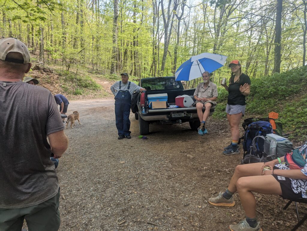
We continued hiking for several miles, and the heat began to get to me. I realized that my shoes and socks has actually dried out for the most part, but since my socks has gotten wet they had started to give me blisters. For the first time, I was dealing with blisters! Not bad for being over 650 miles in, but they still hurt. We hiked down a hill for several hundred feet, winding through rhododendron forests and crossing streams, reminding me very much of the terrain and scenery from our very first day on the Trail. We paused at a gravel road crossing for yet another snack before our next climb to end the day: we still had about 6 miles to hike and about 2,000 feet of vertical gain. We started the ascent, and after making it over halfway up we were both sweating and exhausted…but there was another road crossing with a pickup truck…yes! Trail Magic! A rather large man in overalls with very kind eyes named Easy Boy said that he has been watching hikers on YouTube talk about the Trail for five years, and he wanted to find a way to be a part of the trail community even though he can’t hike it himself. So he decided to load up his truck with coolers of drinks, candy, and chips to give out to hungry hikers. Meadow and I both snagged ice cold Yuenglings, amd started in on the chips and Snickers. A white sedan pulled off the road into the parking lot where we sat with several other hikers, and a man with white hair and also kind eyes stepped out with a small propane grill and some hot dogs. These two kind-eyed Trail Angels didn’t know each other or plan to be there at the same time, but the addition of hot dogs into the mix was EXACTLY what we needed! We visited with our group of hiking friends and the Angels for quite a while before remembering that we still had a few miles to hike. We again thanked them for taking care of us, and finally crossed the road into the forest beyond. The beer had miraculously taken out foot pain away, and so while we were still hot and tires for the remaining miles, our feet and spirits were light. We reached a shelter after a total of 18.5 miles for the day, and set about our chores before heading to bed. I scared a few folks with my “unique” method of slinging a bear rope over a branch, but I was the first one to get my rope hung out of the whole group so I didn’t mind too much. After another evening of visiting with our shelter comrades, I fell asleep to the sound of one high-test snorer in the shelter and many whippoorwills in the distance.
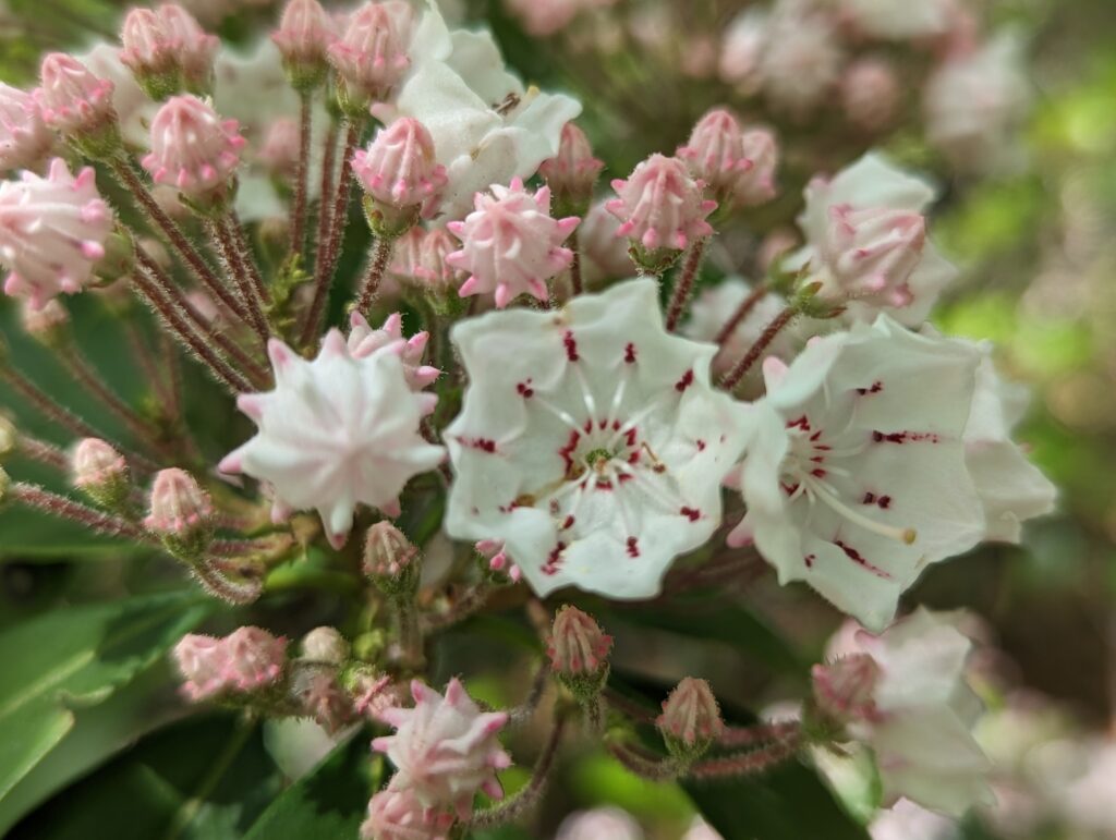
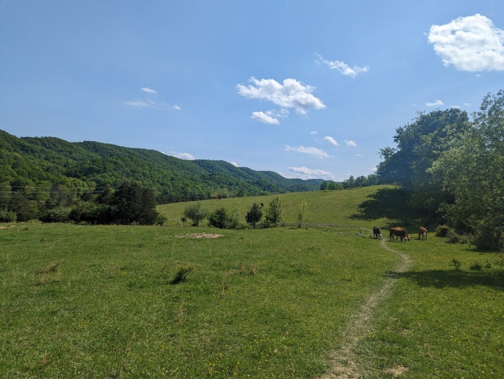
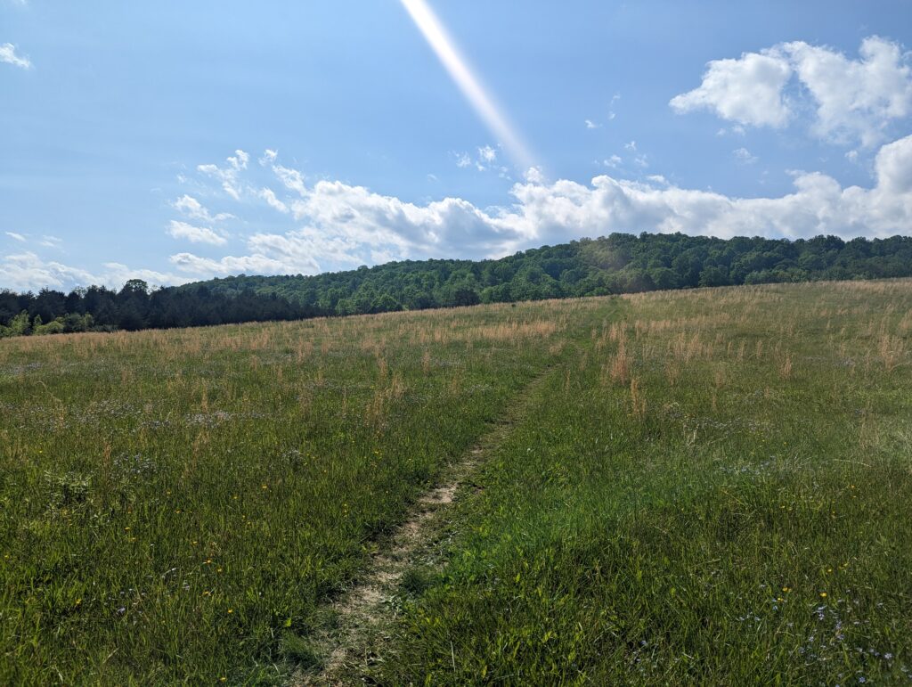
Day 51, Tuesday May 9: For once, we were among the last to stir and begin packing up our stuff from the shelter. We were still ready to roll out and hit the trail shortly after 7:30, but for whatever reason everyone else at the shelter seemed to get moving earlier than usual. About five minutes after we started hiking, a light drizzle began. We put our pack covers on but decided that it was too warm for our rain coats, so we just let ourselves get soaked. We hiked through a few hilly open pastures with some black cows grazing on adjacent hillsides. A few dense patches of fog settled in the valleys between ridges, making the whole landscape seem several layers deeper. We hiked through the rain for several hours, and I eventually said “At least its not thundering and lightning out like last time!” Five minutes later, a huge CRACK of thunder boomed right above our heads. That was the only one, which made me both relieved and suspicious that my comment had something to do with it. Around 11am the clouds lightened, and all of a sudden we were looking at a patchy blue sky with the sun shining down on us. It still amazes me how quickly the weather can change, but I wasn’t about to complain. We stopped to enjoy a snack (duh) since the rain had stopped, and revel in our luck at the sun coming out. I adjusted my pack’s rain cover so that it was more of a flapping cape so it could dry, and also allow my pack to dry out a bit. After being almost 15 years old my rain cover wasn’t quite what it used to be, so my pack exterior was still pretty wet despite my once-waterproof cover for it. We hiked along the ridgetop and eventually came to a sign that marked the Eastern Continental Divide. The view of the long ridgeline to the east was incredible, to say the least! We had to pick our way carefully along the trail at this point, as it followed along large rocks at a deep slant. One wrong step could send us careening down the rock face, which is something Thru-Hikers try to avoid. We could easily have fallen to our deaths or, even worse, break an ankle and have to leave the trail. The miles came relatively easily for a while after this, winding through the forest on rocky but at least un-slanted ground. We passed our first mountain laurel bush that was actually in bloom, which was beautiful and exciting.
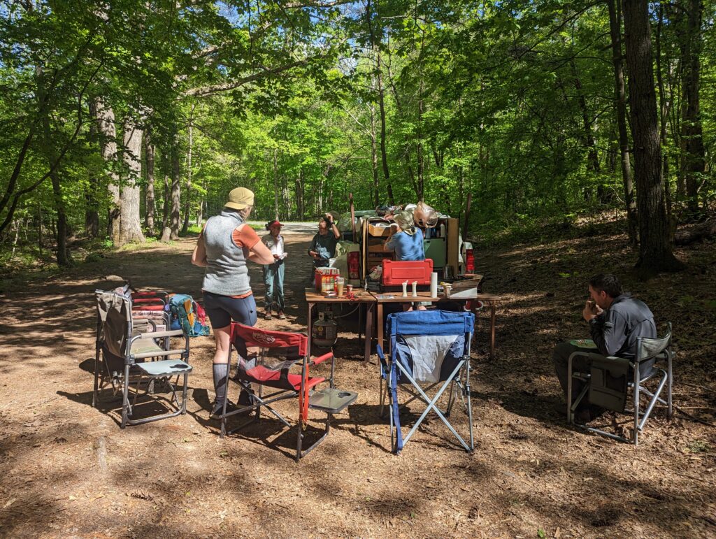
After we had already hiked about 14 miles we came across another road and another gravel parking lot, with another white pickup truck in it…more Trail Magic!! This time, a man named Alan was serving up the most delicious lemonade I’ve ever had (probably just a drink mix but it still hit), grilled hot dogs with warmed buns and homemade pickle relish (I almost cried when I saw the mason jar of canned relish), and boiled potatoes to serve with butter, sour cream, and fresh chives. I am not exaggerating when I say that the baked potato was the best one I’ve ever eaten…but that may have had something to do with the fact that Alan gave me two Tablespoons of butter on top of mine. Literally two tablespoons…which of course I devoured with a potato that was a little too small to eat with two tablespoons of butter. Would have been rude to refuse, really. We sat around with a few of our shelter buddies from the previous night, and talked about the trail, what brought us to it, what we were doing beforehand, and the people we left at home. Alan says he likes to do Trail Magic of that magnitude two to three times a week to help stave off some of the malnourishment hikers experience on the trail. He was very funny and quick with the one-liners, but I could also tell based on the questions he asked that under his sarcastic exterior he was a very smart guy. Once again, we were astounded and humbled by this Trail Angel’s commitment to generosity for people he had never met before. We overstayed our intentions sitting and chatting, and struggled to part ways with Alan before 4pm. We had another shallow stream to ford, after which I put on clean socks to help soothe my blisters, and then we proceeded to hike another five miles with a relatively short climb of 1500 feet. After a total of 19.4 miles, we found our friend Father Mike at a tentsite around 7pm and we set up camp; our other friend Ron from Belgium arrived just after us too. Brother Mike, an army veteran, told us that he’s glad we stopped by because he was feels a little safer when someone else tents with him, and he doesn’t necessarily worry about the noises he hears at night as much. Same, Father Mike! Same. After hanging the bear bag, I found a small tick crawling on my hand. After knocking it off my hand and cursing the whole arachnid family, I checked all over for more. Finding none, we ate our dinners and climbed into our tent and went to sleep.
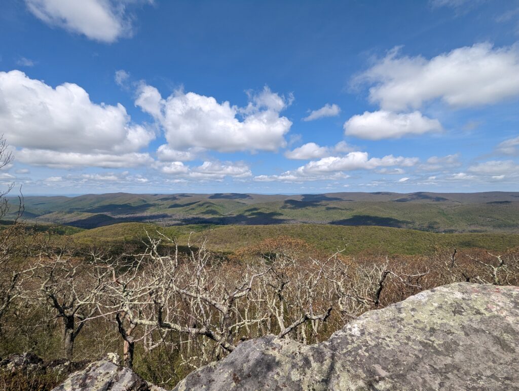
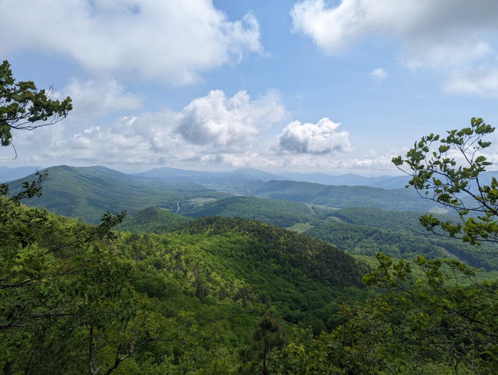
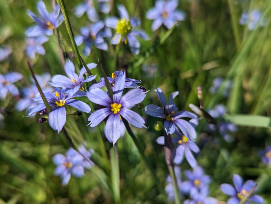
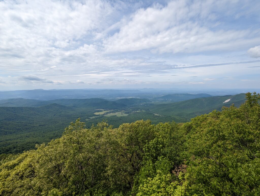
Day 52, Wednesday May 10: I emerged from the tent around 6:15am and was relieved to see a cloudless sky. We packed up camp and ate breakfast, saying goodbye to both Ron and Brother Mike as they left before us. We headed out onto the trail, which looked remarkably similar to what we had just hiked yesterday. After a few miles we passed a stream that we had been warned not to drink from due to upstream pollution, so we skipped over it without filtering any water into our bottles. We hiked up a few hundred feet of elevation, headed towards the Dragon’s Tooth. We passed a few pink lady slipper flowers (members of the orchid family, I think), and a few other flowers that I had never seem before. One of the joys of starting the AT in March is that we get to walk north with the Spring, and I’ve been reveling in seeing all of the new flowers in bloom! We also passed a stone marker for the 700-mile point on the Trail, which we celebrated. We just walked 700 miles! After a few more miles of hiking and climbing through pine forests, we found an open spot in the forest canopy and were struck by the view of the entire adjacent valley. The leafy trees in the foreground framed the view perfectly, and we could see the scraped-out curvature of the valley and the forest covering it like a fuzzy blanket. The photos don’t do it justice (they never do!), and we stood and admired this view for a while as buzzards flew in and out of the panorama.
Eventually we reached the turnoff trail to the Dragon’s Tooth and hiked the 0.1-mile to the landmark. It’s a giant triangular rock formation that suggests a large tooth shape, and is the first in the series of rock formations called the Virginia Triple Crown (we’ll see the other two later this week!). We admired the Tooth for a few minutes and climbed partway up to look over the front side of it, noting how high up we were. After we climbed back down to the tooth’s foothills, and we’re headed back to the AT, we crossed paths with a young man about to have a picnic, Thru-Hiker style: he was sitting on a Tyvek sheet with a bag of barbeque Fritos, some tortillas, and a jar of peanut butter. He asked us if we were Thru-Hiking, and we started chatting. His trail name is Fonzi, and he hiked the AT in 2020 and the PCT in 2021. He was currently just section hiking for a few weeks, and about to meet up with his sister Friction on her Thru-Hike. We chatted about the trail and what he took away from it, and how difficult it was for him to transition back into life beyond the trail. He wished us well on our hike, and we wished him and his sister well, and parted ways.
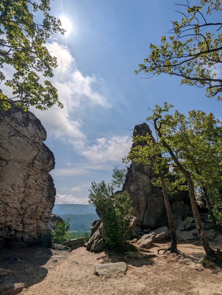
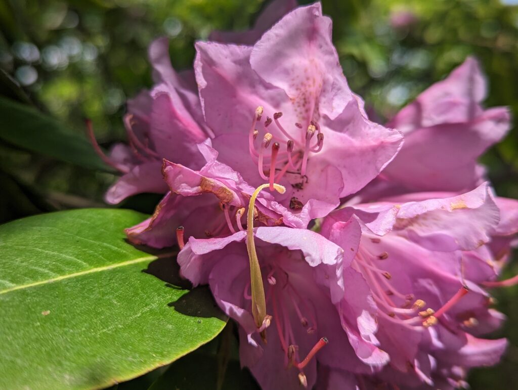
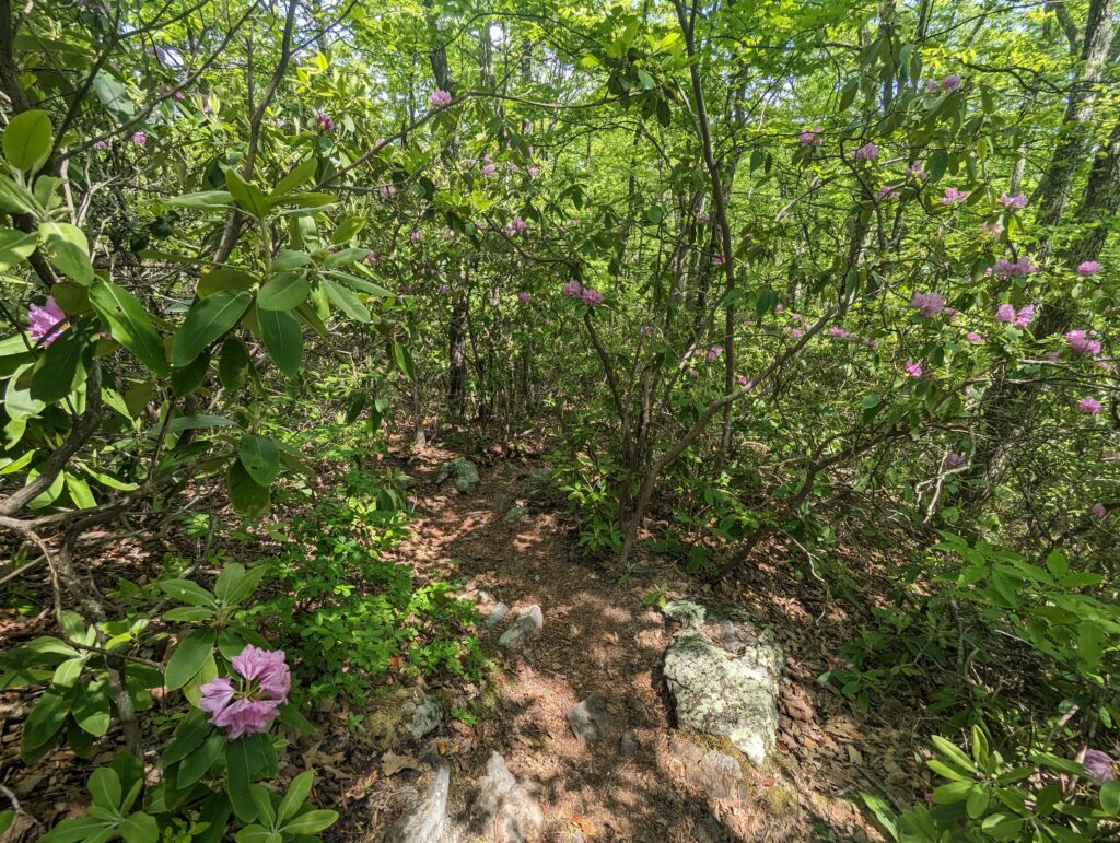
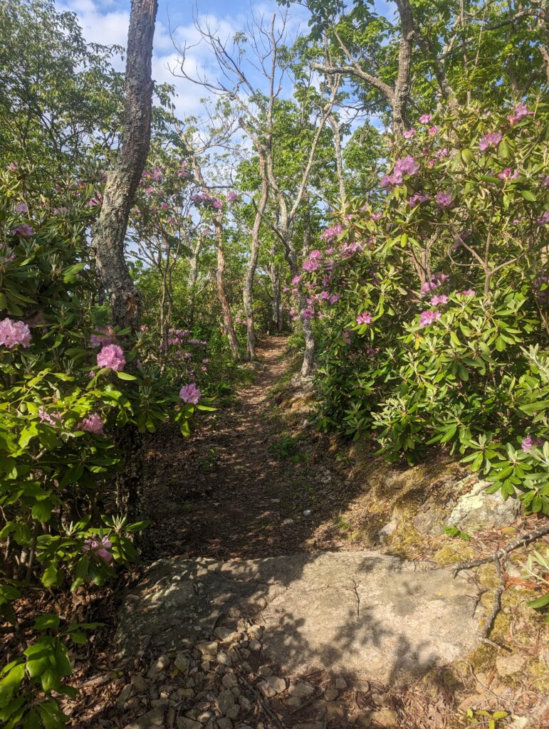
Back on the AT, we had our work cut out for us. We had already come about six miles, but we had planned on going over eleven more! The descent down from the Dragon’s Tooth was much more harrowing than the climb up to it. We were scrambling down large sheets of rock, where our trekking poles were useless. At one point there were steel rings set into the sheer rock face, much too far apart for my short legs. In Acadia National Park in Maine, Nick and I had enjoyed hiking the three “iron rung” trails with steep rock scrambles, but that was without a 30-pound pack! Meadow and I took our time climbing down to avoid any injuries, and by the time we got the bottom of the trail at a road crossing we were none the worse for the wear. The rocky slopes were still fun to navigate, and the rhododendron bushes in this area had also burst into bloom which meant that purple orbs of color popped all over the trail.
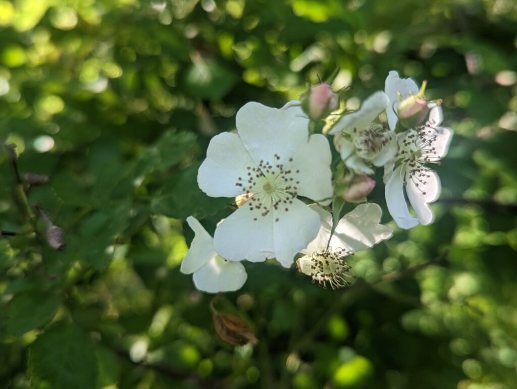
When we hit the road crossing, instead of heading straight for the first on the other side we made a half-mile road detour to a convenience store for resupply. We each got what we needed to make it to the weekend, and even though their prices were outrageous we realized we had no other option unless we wanted to waste the rest of the day hitchhiking into town and back. We also each ordered a 12-inch pizza to eat, which turned out to be much bigger than we had imagined. But we are no quitters, and after we both ate our entire pizza we also got some ice cream to top it off. We had run out of water and also needed to refill our bottles, and since the only upcoming water on the AT came from a cow pasture I bought a gallon of clean water from the store. While we ate, our friend Ron arrived and he also resupplied and ate with us. After finishing up our food and waiting for our electronics to charge slightly from an outdoor outlet, the store cashier’s wife pulled into the parking lot to apparently drop something off. The cashier asked us if we wanted a ride back to the Trail, which was so kind! Despite being exhausted the three of us moved at lightning speed to throw our trash away and pack up our resupply goods to hop in her car, and five minutes later we tumbled back out again to hit the trail. The afternoon and evening miles seemed to pass slowly given our huge calorie intake; apparently cramming am entire days’ worth of calories into one meal makes it hard to hike! We slogged though the cow pasture (skipping the stream!), and back into the forest. I noticed that the huge multiflora rose bushes were finally blooming, their intoxicating floral scent wafting through the sunny breeze.
After several more hours of hiking we ran out of water again just before we hit the Catawba Shelter at mile 712.5, for a daily total of 17.9 miles! We weirdly were the only ones at the shelter, which surprised me based on how popular the nearby McAfee Knob is for visitors. Even more surprising was the gift of a bear box at the shelter, easily shaving thirty minutes or more off of our nightly chores. Mercifully the shelter also had a water source, and even though we had to climb down into a chasm to get it, we did not complain! Still full from our pizza lunch, we opted to skip a “real” dinner but still managed to run through a few bags of gummies before calling it a night.
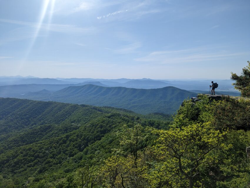
Day 53, Thursday May 11: We started our day in the usual way around the usual time, eating our usual breakfast. We left the Catawba Shelter and continued our climb up to McAfee Knob while the sun rose in the sky and warmed the air. We arrived at the Knob around 9:30am to see the vast valleys of forested blanket rolled out beneath a nearly cloudless sky–the weather was perfect. We admired the view for a few minutes, taking a few photos, and visited with our friend Ron who reached the Knob shortly after we did. That was the second of the Virginia Triple Crown!
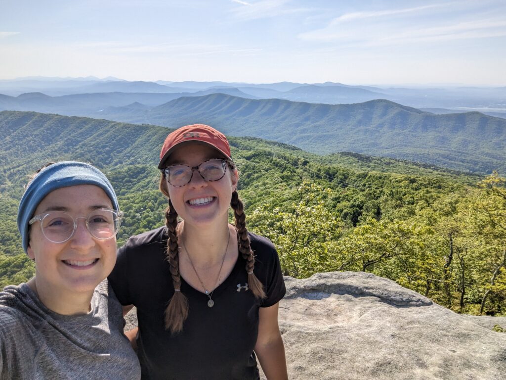
It was difficult to tear ourselves away from such a gorgeous view, but there are always more miles to cover! We hiked on for another several miles towards the Tinker Cliffs, the third landmark of the Virginia Triple Crown. We descended into and climbed out of a few shallow troughs before we reached them around noon. The air temperature had risen into the 70s, and a was breeze was rustling through the tree branches. The views of the patchwork landscape were again outstanding, and gave some perspective on how small we really are. I didn’t feel the need to get too close to the edge, since the cliffs where we stood were even with the tops of trees that were rooted far below us and it would have been a long way to fall.
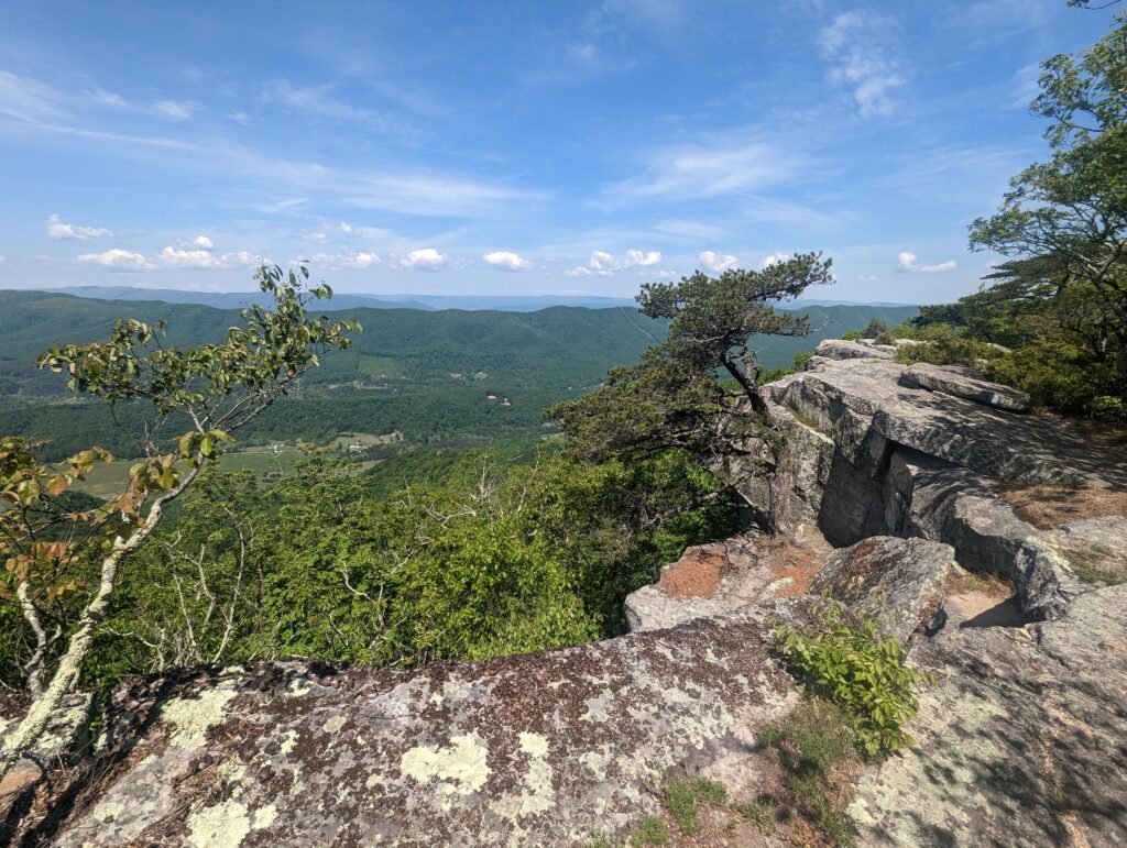
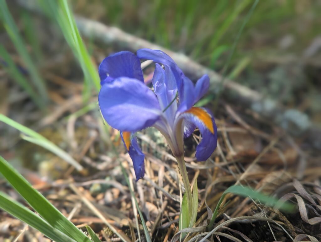
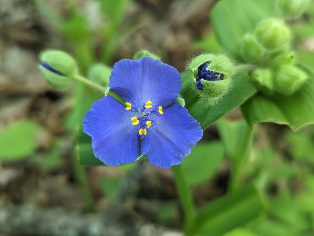
After once again admiring the views for several minutes, we continued to hike along Tinker Cliffs for a short while before they ended. We saw a healthy-looking deer munching on greenery in the forest by the trail; she stopped to stare at us as we walked on past her. After leaving the Tinker Cliffs, we still had planned on hiking quite a few more miles for the day, so we got moving. We hiked on and on through forests of maples, oaks, and pine trees as the temperature crept up into the 80s. I repeatedly thought to myself how wonderful it was to have leaf cover on the trees to shelter is from the sun–quite a different experience from our first few weeks on the AT! Even still, it was quite hot and we drank water like we were actually supposed to. We passed a new type of flower I hadn’t seen before, plus a tiny cluster of a familiar favorite, the dwarf bearded iris. Since they only stood about four inches tall I almost missed them buried among the long pine needles, but I was glad to see them.
By the time the late afternoon rolled around, we were both exhausted and feeling very weary of the heat. We had drank all the water we could and eaten snacks all day, but the fatigue was as relentless as the heat. We briefly discussed our distance plans for the day, wondering whether it would be prudent to shorten it so that we could stop earlier… but neither of us needed to (or wanted to) quit early. So we hiked on through the beautifully sunny ridges, still pausing to admire the vistas from large electric power rights-of-way even though it was much hotter out in the open.
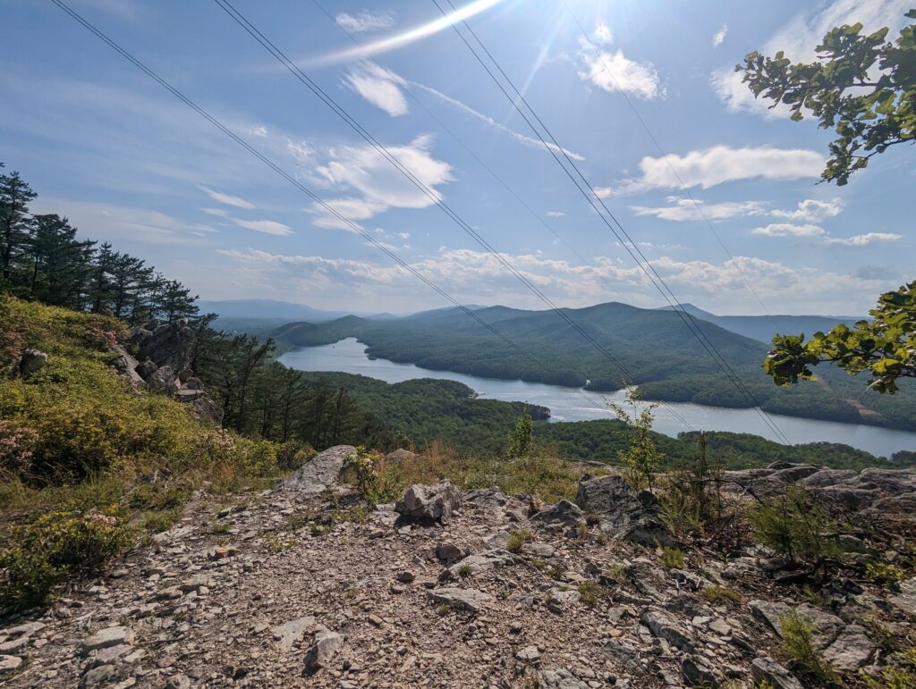
Once we finally made it down to lower elevations, we filtered more water from Tinker Creek and approached a major road crossing that could take us into Daleville, VA if we wanted. Instead, we scrambled across the busy road, stopping momentarily in the grass median to let a speeding pickup truck go by before we sprinted across the second half of the road and back into the comparative safety of the forest. After travelling at approximately 3 miles per hour for almost eight weeks, cars moving at 50 miles per hour seemed to be going at the speed of light! The mile we hiked on the other side of the road wasn’t particularly steep or otherwise difficult, but the pain in Meadow’s knee and in both of my feet made it seem like quite a long mile indeed. We found a grassy camp spot right off the trail between I-81 and a large open field, and quicky set about putting up the tent and hanging the bear bag rope. There wasn’t a single decently-sized rock for the bear rope weight in the entire area (“What KIND of place IS this?!?”), so I had to use a rock that weighed approximately 10 pounds so it was heavy enough to pull the rope over the branch; all the other rocks were too small. So after haphazardly tying my Paracord to the world’s largest paperweight, I heaved the enormous rock over the lowest branch I could find that was still high enough for the bear hang. Mercifully, the rock flopped over the limb on my first throw and came plummeting back to the earth with a thud. Nailed it! We started eating dinner while seated in the grass before realizing that there were ticks everywhere, and then we stood up to finish eating. If there’s one thing a Thru-Hiker hates more than standing around, it’s ticks. We finished eating and brushed our teeth, hung the bear bags on my expertly-placed rope, and crawled into our tent to finish out the short evening until falling asleep to the loud traffic sounds from I-81.
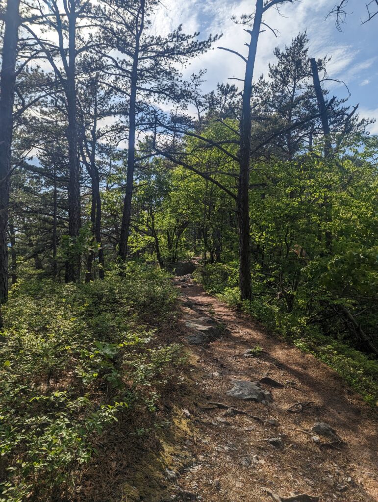
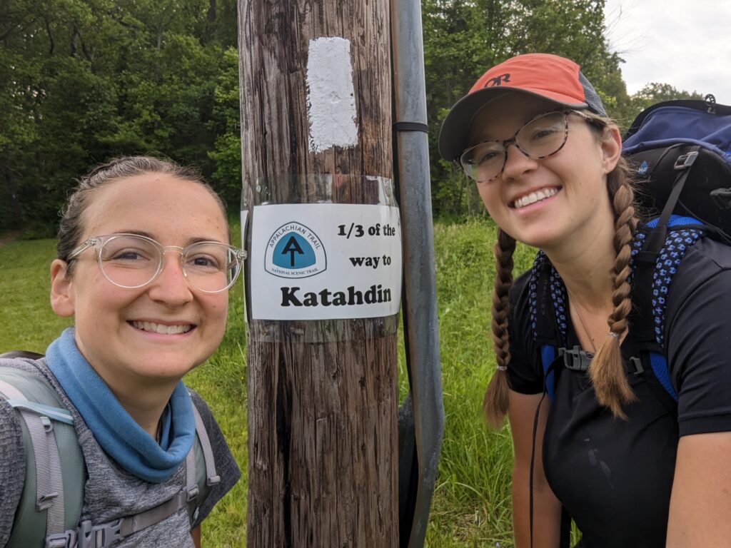
Day 54, Friday May 12: The humidity and air temperature remained high all night, which made it difficult to sleep and everything was damp in the morning. We packed up camp and ate our breakfast, once again standing in the grass. We started hiking towards I-81, passing under an overpass. A telephone pole on the other side had a sign on it, informing us that we were one third of the way to Mount Katahdin. WHAT?! We had just crossed over mile 733, which was cause for yet another celebration of our progress. After snapping a few photos and the mandatory celebration dance, we hiked on.
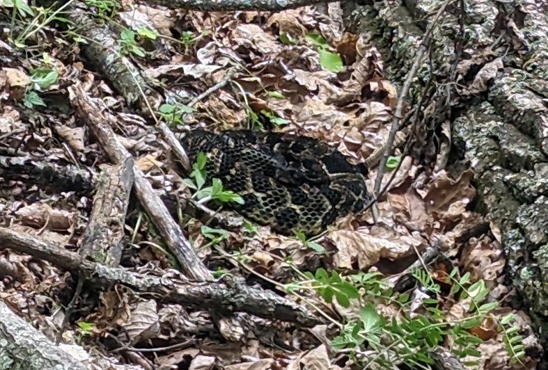
As the temperature rose throughout the morning, the humidity seemed to continuously rise to meet it. By midmorning we were both sweating profusely in the heat, sweat dripping down my face as we climbed our typical ascents of several hundred feet. Near the top of one such climb, I was focused on just putting one foot in front of the other to make it to the top. All of a sudden I heard a sharp and loud buzzing noise…a rattlesnake! It didn’t take my eyes long to find the snake based on its warning noise; the coiled snake was nearly back with a muted diamond pattern that had blended in with the leaves around it. We were still about 20 feet away from the rattlesnake, which in my opinion was plenty enough warning to stop in my tracks at a safe distance. I have come across two rattlesnakes before, both in Pennsylvania, and they both waited until someone has almost stepped on them before they started rattling, and panic ensued. I had thought this behavior was normal for rattlesnakes, but why wait until you almost get stepped on before announcing your presence anyway? At least the Appalachian Trail rattlesnake had the decency to warn us when we were still far enough away to avoid total hysteria. I did take a step or two closer just to get a better look, but I noticed the snake begin to puff itself up to appear larger (a self-defense or warning mechanism?) so I backed off again to avoid stimulating it any more. We walked into the forest on the opposite side of the trail and gave it a very wide berth before reemerging onto the trail at least 30 feet past the snake. We paused to admire it a little longer before turning to leave it behind to calm down.
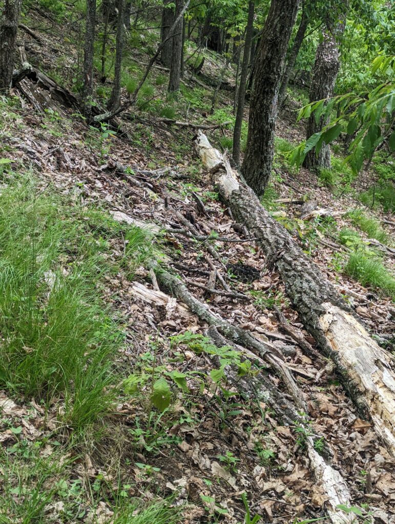
We hiked on for the rest of the morning and though the afternoon, the high humidity and the onrush of bugs becoming harder to ignore throughout the day. The gnats were particularly annoying as they buzzed in my ears, but using my buff as a headband to cover my ears kept them at bay. We hiked in and out of stream valleys as the cloudy day wore on, enjoying many more blooming rhododendron trees as we walked.
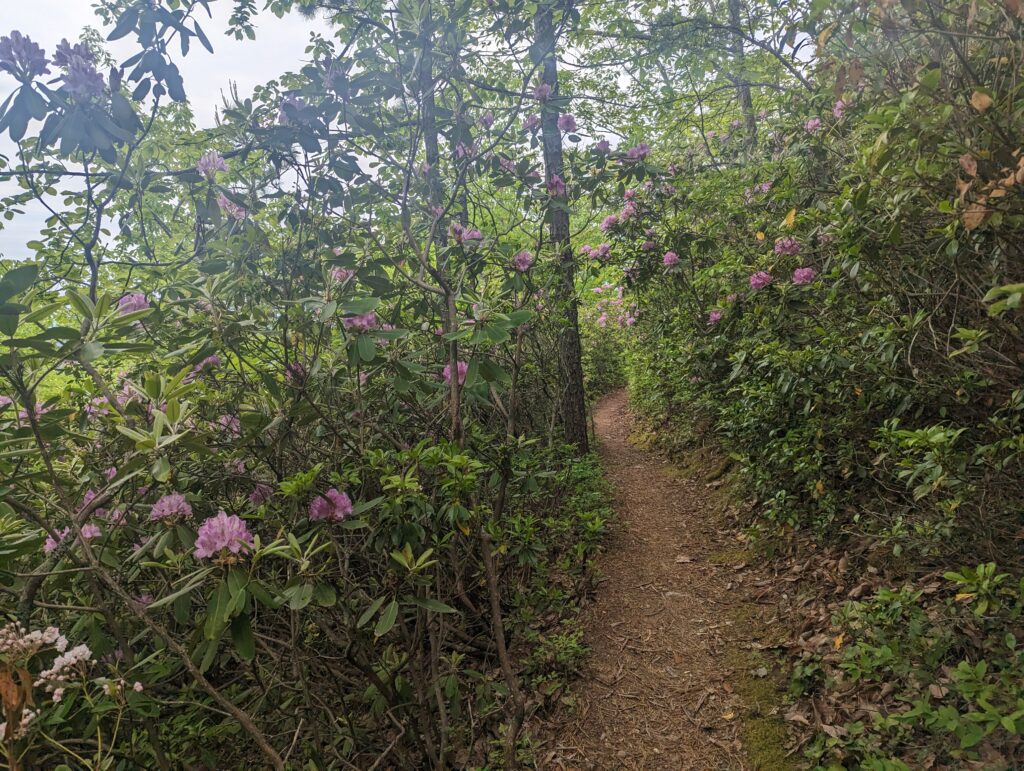
Eventually we reached Black Horse Gap, which signaled the first crossing of the AT with the Blue Ridge Parkway. This was an exciting milestone in its own right, but also meant we were getting closer to our meeting point with our extraction crew: Nick and our friend Emily! After a few more short miles of waking along the Blue Ridge Parkway and admiring the vast vistas at the overlooks, we met up with Nick and Emily on the trail and headed back to the car. Despite the long day we had already had, we decided to do another mile or so to finish out a planned 17-mile day. Our extra mile turned into three extra miles due to road access issues, so we ended up hiking over 19 miles! As Nick drove us back to our Airbnb we snacked on grapes and carrots with hummus in the car, and caught up with what’s been going on back home. After the best showers of our lives, we had an amazing dinner of homemade macaroni and cheese and roasted vegetables (Thanks Nick!), with some IC Light Mango for that taste of Creighton (Thanks Jerry!). We crashed at around 9pm as per usual, and I slept like a rock.
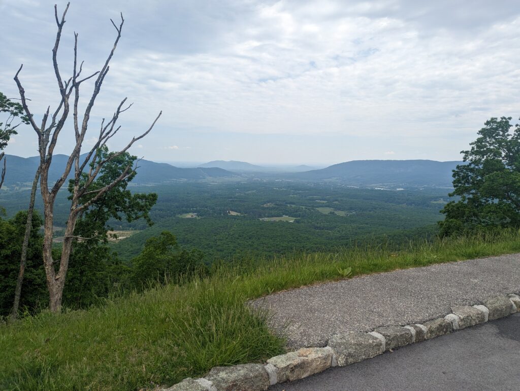
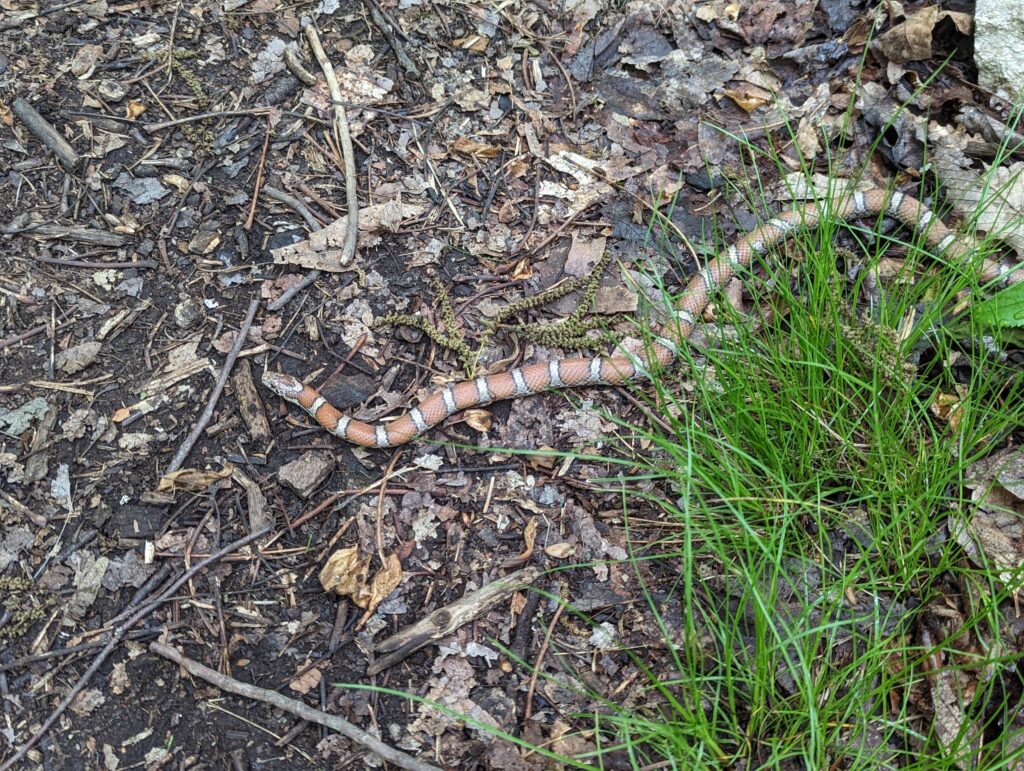
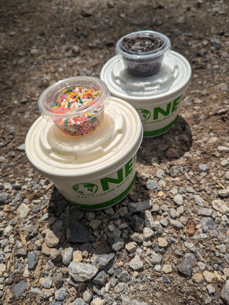
Day 55, Saturday May 13: After a quick breakfast of toasted bagels, we hit the road and were on the trail short after 9am for a day of luxurious slackpacking. There were two options for road crossings where we could have been picked up to end our day of slackpacking: one at 12 miles and one at 22. We decided to hike a shorter day of 12 miles to allow more time for rest in the afternoon. We piled out of the car at Peaks of Otter Overlook on the Blue Ridge Parkway where we had left off the day before, and headed back into the forest. The hiking day was a relatively short five hours overall because of the short distance, light day packs, and the relatively easy terrain that was not representative of the entire AT. We had one climb of just over 1,000 feet of elevation, which honestly seemed to only take us a few minutes. The humidity was still high and we felt a few raindrops, but I couldn’t tell if it was sprinkling on is or just dripping from the trees above as they were jostled by the breeze. We saw two more snakes, one tiny black rat snake and one peach-colored one with black and white markings; later research indicates this one may (maybe?) have been a northern scarlet snake. I also saw many small lizards about 6-inches long, whose camouflage made it impossible to spot them until they started scurrying across the leaves and making a ruckus. We came to the access road we were supposed to walk down to meet Emily and Nick at the gravel county road, and just as we heard a car driving up the gravel we emerged into the parking area that was our designated extraction point. Nick and Emily had driven back out to the main road to find cell service, and we’re just returning to the parking area as we got there. They had brought us vanilla and black raspberry custard from a local creamery, packed in a cooler with some ice. It was such an amazing treat to have cold and delicious custard immediately after a long and sweaty hike for the day. We headed back to our Airbnb and had an amazing dinner of roasted chicken and salmon, salad, and delicious and anti-inflammatory Japanese sweet potatoes (PO-TAY-TOES!)–thank you so much Emily!! Meadow and I spent a few hours getting ready to hit the trail again tomorrow, ditching some of our winter gear and repacking our food resupply for sox days, which is rather a long time to carry food for. After hefting my gargantuan food bag, I also decided to ditch my rain pants (but kept my rain coat, of course) and send them home with Nick along with all of my winter gear: smartwool base layers, puffy coat, my gloves and balaclava, and even my hiking pants. We enjoyed the rest of our doughnuts brought from the Oakmont Bakery and some homemade sugar cookies (thank you Nick and Mary Jo!!) and drank some tea while chatting. We stayed up later than we probably should have, but the company was wonderful and it was hard to end the day. As actual midnight crept closer, we finally said goodnight and went to sleep.
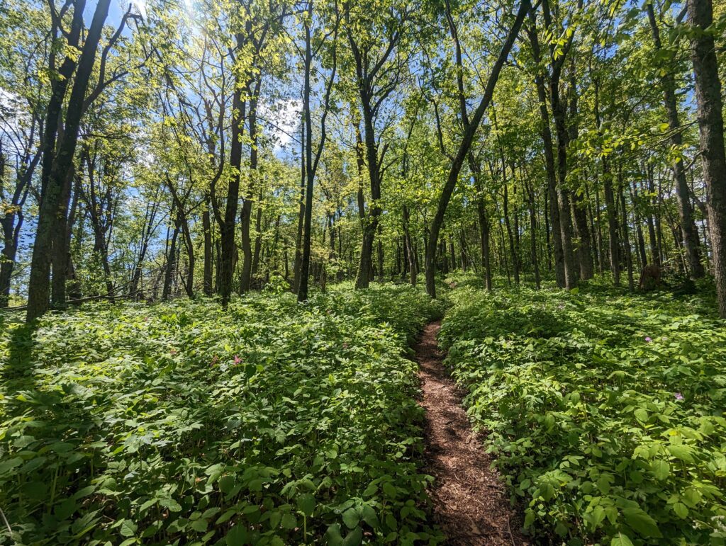
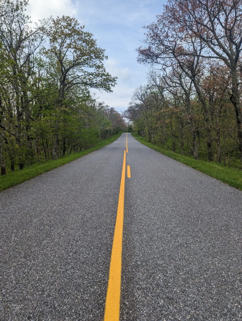
Day 56, Sunday May 14: When the alarm went off at 6:30am it was time to start packing and cleaning up to depart the Airbnb. We ate breakfast and tidied up before heading out into the sunny and cool, but still humid, morning. It had rained a little overnight and the air was still damp. We made a quick pit stop into a gas station on the way back to the trail to pick up a small jar of peanut butter, and eventually rolled down the gravel road to the dead end access point for the trail. I was overcome with gratitude for Nick and Emily’s company and everything they did for us, which made for a slightly tearful goodbye. As Meadow and I turned to leave, Nick took his usual “action shots” of us returning into the forest after a visit. The first few miles seemed to pass slowly given the immense weight of our packs from our over-filled food bags; my knees and Achilles tendons made it very clear they were unhappy with the weight gain. We had a vertical climb of about 3,500 feet over nine miles to cover, and the humidity wasn’t going down without a fight. The climb was extremely difficult but I took my time, moving forward one relentlessly deliberate footstep at a time. After a while we checked our map to see how far we had come, and to my surprise we had travelled almost five miles already–we were still making good time while not hurrying. The scenery seemed to change quickly from one forest to another; during our climb we traveled through open forests with thick, lush carpets of jewelweed, tunnels of rhododendron bushes littered with leaf debris, and rocky slopes with tufts of grass lining the trail where hikers’ trekking poles have loosened the dirt over time.
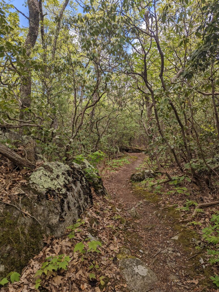
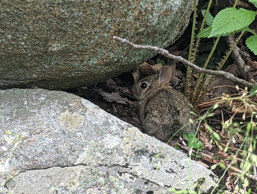
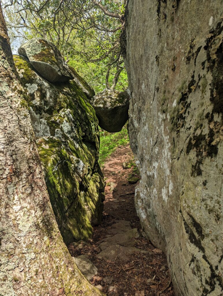
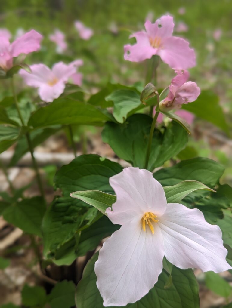
We also crossed the Blue Ridge Parkway a few more times, and saw many day hikers with tiny backpacks which made me jealous. We came across an older couple with silver hair and very clean clothes, who were dripping with binoculars, cameras, and enormous camera lenses hanging around their necks. They stood on the middle of the trail staring up into the tree canopy. Not wanting to scare them (or run them over), I said my “Hello There!” from a good distance away and asked them if they were looking for anything in particular. “Birds,” the woman said simply. “Birds and flowers.” She did not elaborate, so I wished them luck and we continued around them without stopping. I saw many blooming trilliums in varying shades of white to pink, and I’m almost positive I saw a pair of tiny warblers (white with dark stripes) flit through the trees. I also startled a baby bunny near the trail, but it stayed out in the open long enough for us to ogle it and take its photo. As we hiked through the rolling and rocky ridges, we passed under “The Guillotine,” an interesting rock formation with one rock suspended between two other rocks to form an arch…I probably wouldn’t have thought twice about walking underneath it, if it wasn’t named after a beheading tool. There were a few signs posted about one of the upcoming shelters being closed due to aggressive ear activity, and I was relieved we hadn’t planned on staying there anyway. We continued hiking into the early evening, finally rolling into our final destination around 7pm–but we had still made it 17.1 miles after a late start and extremely heavy packs. What a great day! For the first time in a long time, I was able to hang the bear rope before Meadow even finished setting up the tent. We found the nearby water source and filtered water for the night, also filing the bladder so we would have some to filter on the morning. We made and devoured dinner, hung our bear bags, and dove into the tent to avoid the increasing onslaught of no-seeums and mosquitos. A whippoorwill started screaming right about over tent, and actually buzzed us–we heard a flutter of wings and then something hit our tent, so it definitely appeared that a disgruntled whippoorwill did a drive-by of our tent. After this the whippoorwill activity picked back up again on the distance with several of the birds to each other far away, so at least we didn’t expect any additional bird attacks in the near future.
The week seemed to fly by once again, the days being long but the time being short. We have a few big climbs waiting for us this upcoming week, along with some rain. One of the biggest things I am looking forward to this upcoming week is that we should reach Shenandoah National Park by the end of next weekend–what an amazing milestone, and an amazing Park! After eight weeks on the trail, there are certainly things that I miss–chiefly my friends and family, and cooking and baking in my kitchen. But even though it’s hard to be away from these things I still am finding joy, adventure, and fulfillment in the hard work and experience of living in nature. Right now I am staying focused on the days and week ahead rather than looking too far ahead, but even so, every step every day brings us closer to Mount Katahdin!
Thanks for stopping by!
Heather, another fantastic blog. You amaze me. Continued prayers for you and . Meadow. GOD BLESS , until your next blog.
Great pictures, even the snake look interesting. Of course I would have ran the other way very quickly. Glad you enjoyed time with Nick. Stay safe. I am very proud of you and pray for your safety every day
Another great blog and wonderful pictures and descriptions. Curious if you got any feed back from the “real” doctors about your swollen Achilles tendons and how they (and the blisters) are doing this week. Sending healing and healthy vibes your way . Remember when you are in PA we can help with an overnight in Dauphin ! We are not far from the trail, either from Duncannon or the top of Peters Mountain. Looking forward to the next installment ! Here’s to dry (and not too hot / humid) hiking!
I heard back that it was likely tendonitis or bursitis, and that icing, stretching, and massaging (and rest) are likely to help. Doing my best to keep my feet happy! Thanks for asking!
Sheep’s wool… might help, if you can find any along the way
Take care of those feet 🤞🏼🙏🏼. And I think it is sooo cool, people along the trail, with food and drink… something for me to look into doing, some day!, since unable to do the hiking anymore, myself. I was wondering how you were doing with ticks, glad you’ve only seen the one. Your pictures are amazing, the views, spectacular. Enjoy the Shenandoah!!! I’m sure it’s hard to leave Nick when you do…. But he’s a Godsent…. and will be there for you… at next meet and greet… and I’m sure hard for him, worrying about your being out there in the vast, wild yonder…. But I can see you both, carrying each other in your hearts and spirit. 1/3 of the way…
Carry on… Godspeed and 💚, to you and Meadow
Jackie
It is wonderful reading your blogs. You two are amazing. Love the pictures too!!
Hope your feet hold out, Heather! I love hiking the AT vicariously through your blog. Beautiful pics!
Wonderful descriptive blog post and beautiful pictures! Hope you are getting enough vitamin C for your tendons 😊
Another fantastic Blog. Really they should all become a book! It makes you feel like you’re there.
I wonder if an athletic shoe store could help with a different shoe or boot to help with the Achilles tendons. There’s a place like that here when you get up this way. Seems a higher heel would change the amount the tendon needs to stretch. I don’t know what would be advised. Actually there are more than one specialty stores around here if you want us to take you to check them out. The one does orthotics.
I think I also mentioned we also have an REI now so and gear or shoe changes will be easy.
Nice reptile encounters! A rattlesnake is always good for an adrenaline boost.
Your Mom will let us know your prediction of timing for this area! Half way Celebration will be great!
Red Touch Yellow – Kills a Fellow
Red Touch Black – Venom Lack
Yellow Touches Red – Soon You’ll Be Dead
Red Touches Black – Friend of Jack. You can also use the seek app. A milk snake looks similar to the one you saw too.
Now if I can just remember that rhyme!!
Hello Victory and Meadow! I look forward to your blog every week. Very interesting and the pictures are beautiful. I continue to pray for you.
Hi Victory,
Each time I read your blog, I think you are talking to me personally. Then I notice all the other reader-comments, after that I realize there are even more people reading without commenting. You are a friendly writer. Keep up your enthusiasm and your inspiring reporting/recording. It is so fun to travel along with you and Meadow! And I’m grateful to be inside during the rain…
So good to read up on your trip!! Keep those feet happy!
Love you friend! It is fun to read of your adventures and feel like I am traveling along. 🙂 How fun you got to meet up with Emily!
Looking forward to seeing you soon. Lots of love!
Funny, you have traveled HUNDREDS of miles, and i am STILL in the office next to yours. You may finish your trek before i return back to my old area 🙂 (well, I doubt, but June 5th is the latest return date – lol)
Wishing you guys all the best!! Really enjoy the updates!
Great verbiage & pics! Many many thanks for sharing/including all of us on your & Meadow’s adventure!
Prayers for both of your health & safety.
You two are doing an impressive and amazing job. I really enjoy the weekly updates and photos. Drive on girls,,, drive on! Godspeed!
You descriptively paint such a vivid picture of the hiking experience! You and Meadow are such a dynamic duo! So great that Nick arrives just in time for a timely BnB break; really enjoyed meeting him such a good guy!